Alaska State Map
This Alaska state map covers the largest US state, in the far northwest of North America, separated from the other states by western Canada. Its capital is Juneau and its largest city is Anchorage.
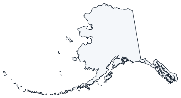
The interactive map shows Alaska’s largest cities (capital in red) on an OpenStreetMap base map. Turn on Show counties to see all borough and census area lines and hover for names.
Alaska quick facts
| Capital | Juneau |
|---|---|
| Largest city | Anchorage |
| Population (2020) | 733,391 (48th of 50) |
| Total area | 665,384 sq mi (1st of 50) |
| Statehood | January 3, 1959 (49th state) |
| Boroughs | 19 organized boroughs + the Unorganized Borough (no counties) · Borough map |
| Abbreviation | AK (AP style: Alaska) |
| Region | West (Pacific division) |
| Time zone | Alaska Time (AKT); Hawaii-Aleutian Time in the western Aleutian Islands |
| Highest point | Denali, 20,310 ft (highest in North America) |
| Borders | Yukon and British Columbia, Canada (east); Arctic Ocean (north); Bering Sea and Chukchi Sea (west); Pacific Ocean and Gulf of Alaska (south) |
Where is Alaska?
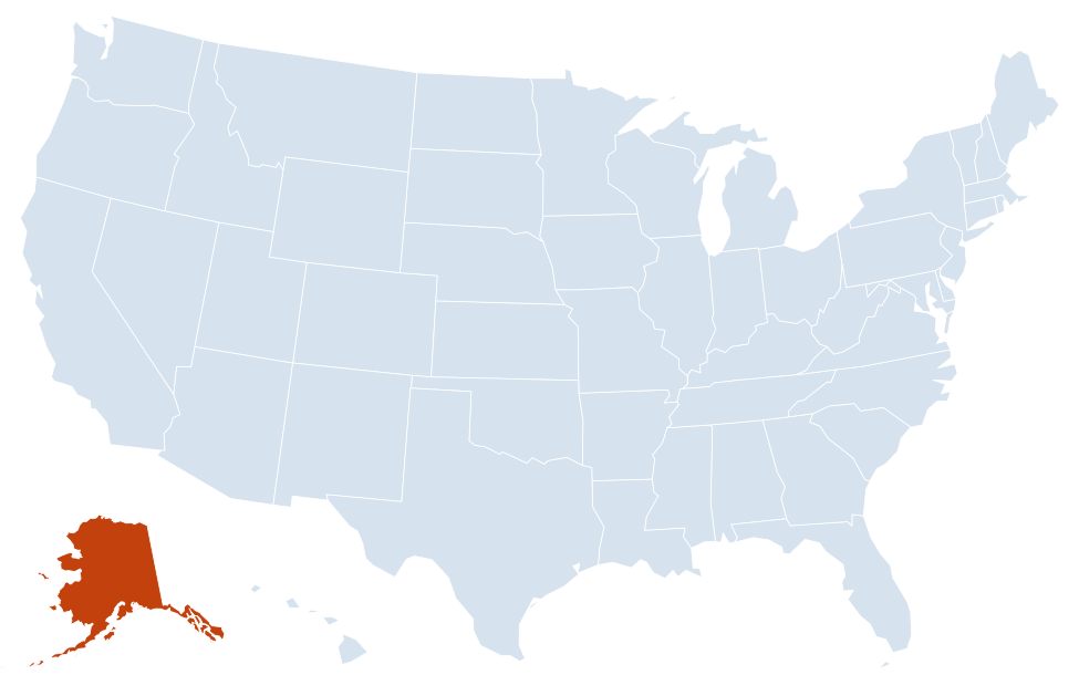
Alaska is in the West region of the United States. It has no neighboring states: its only land border is with Canada (Yukon and British Columbia).
Largest cities in Alaska
| Rank | City | Population (2020) |
|---|---|---|
| 1 | Anchorage | 291,247 |
| 2 | Fairbanks | 32,515 |
| 3 | Juneau (capital) | 32,255 |
| 4 | Wasilla | 9,054 |
| 5 | Sitka | 8,458 |
| 6 | Ketchikan | 8,192 |
| 7 | Kenai | 7,424 |
| 8 | Bethel | 6,325 |
| 9 | Palmer | 5,888 |
| 10 | Kodiak | 5,581 |
Incorporated cities only. Anchorage and Juneau are consolidated city-boroughs, and Sitka is a city and borough. Several unincorporated communities near Wasilla and Fairbanks, such as Knik-Fairview and Badger, are larger than Wasilla but are not cities.
Regions of Alaska
Alaska covers 665,384 sq mi, more than twice the area of Texas. It reaches west across the 180th meridian in the Aleutian Islands, so the state lies in both the Western and Eastern hemispheres. The United States bought Alaska from Russia in 1867.
- Southcentral: Anchorage, the Matanuska-Susitna Valley (Wasilla, Palmer), the Kenai Peninsula (Kenai, Seward, Homer) and Prince William Sound (Valdez). More than half of all Alaskans live in Anchorage and the Mat-Su Valley. Kenai Fjords National Park is near Seward, and Wrangell–St. Elias, the largest US national park, lies east of Valdez on the Canadian border.
- Southeast (Inside Passage): a narrow strip of mainland and islands along British Columbia, with Juneau, Ketchikan and Sitka. Mountains and ice fields block road links, so most towns are reached by air or ferry. Glacier Bay National Park is northwest of Juneau.
- Interior: Fairbanks and the Yukon and Tanana river valleys between the Alaska Range and the Brooks Range. Denali National Park lies on the road between Anchorage and Fairbanks.
- Southwest: Bristol Bay, the Alaska Peninsula, Kodiak Island and the Aleutian Islands, which arc about 1,200 miles toward Russia. Katmai and Lake Clark national parks protect volcanoes and brown bear habitat.
- Western Alaska: the Yukon–Kuskokwim Delta around Bethel and the Seward Peninsula around Nome, facing the Bering Sea.
- Arctic (Far North): the Brooks Range and the North Slope, with the oil fields of Prudhoe Bay and Utqiagvik, the northernmost city in the United States. Gates of the Arctic and Kobuk Valley national parks are here, bringing Alaska’s total to eight national parks.
Alaska has more coastline than all other states combined. At the Bering Strait, Little Diomede Island (Alaska) is less than 3 miles from Russia’s Big Diomede Island.
Boroughs and census areas
Alaska has no counties. Its 19 organized boroughs, such as the Municipality of Anchorage, the Fairbanks North Star Borough and the North Slope Borough, provide local government. The rest of the state forms the Unorganized Borough, which the Census Bureau splits into 11 census areas for statistics. On the interactive map, the county layer shows these 30 boroughs and census areas.
Major highways
Alaska’s road network is small for its size and covers mainly Southcentral and the Interior. The state has federally funded Interstate routes, but they are not signed as interstates.
- Alaska Highway: from the Yukon border past Tok to Delta Junction, the road link to the rest of the US through Canada.
- Glenn Highway: Anchorage to Palmer and Glennallen.
- Parks Highway: from the Glenn Highway near Wasilla past Denali National Park to Fairbanks.
- Richardson Highway: Valdez to Glennallen, Delta Junction and Fairbanks, roughly following the Trans-Alaska Pipeline.
- Seward and Sterling highways: Anchorage to Seward, and across the Kenai Peninsula to Soldotna and Homer.
- Dalton Highway: a mostly gravel road north of Fairbanks to Deadhorse at Prudhoe Bay, built to supply the Trans-Alaska Pipeline.
- Alaska Marine Highway: the state ferry system linking Juneau and other Inside Passage towns with Bellingham, Washington, and Southcentral ports.
Printable Alaska maps
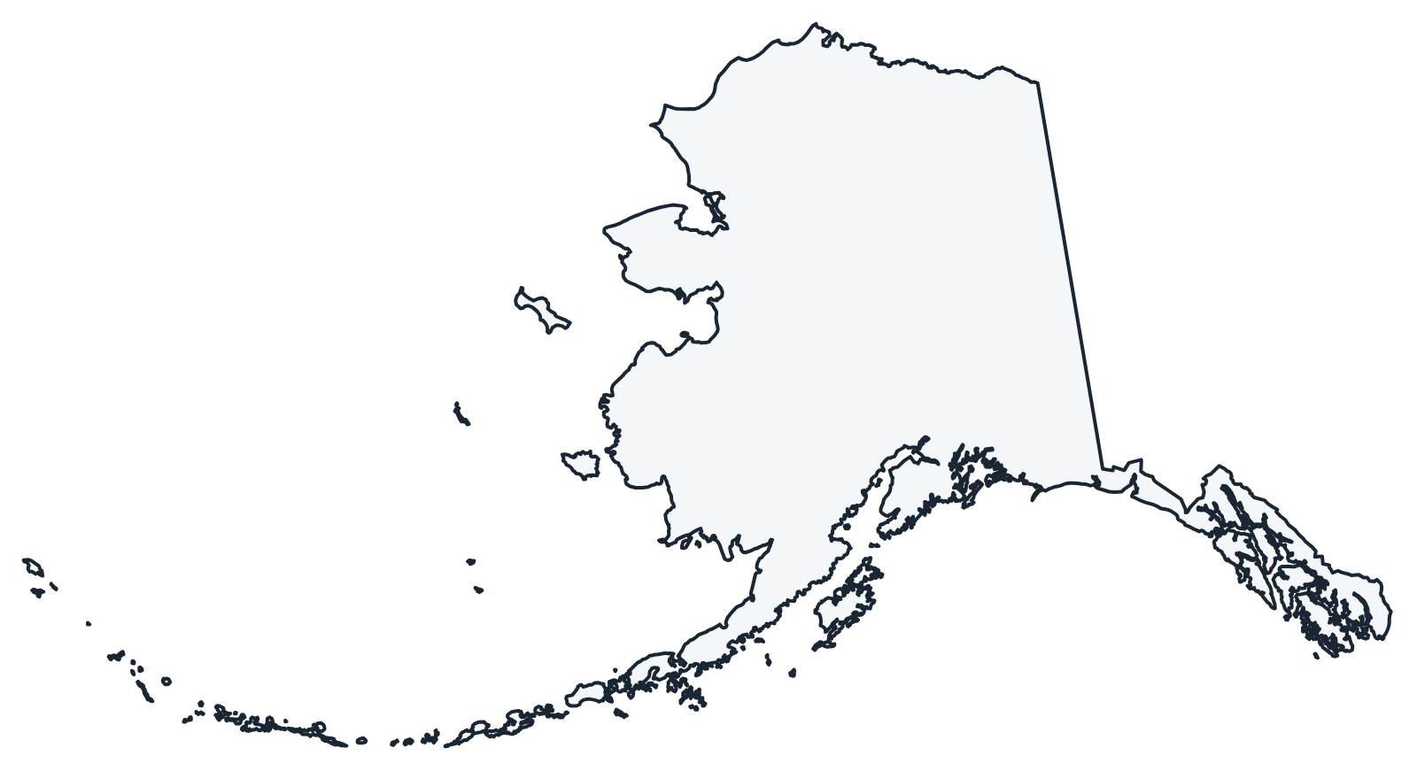
A blank outline of Alaska for coloring, labeling or school projects, and a locator map showing the state within the US. Free for personal and classroom use.
For all 30 boroughs and census areas with county seats and 2020 population, and a printable labeled map, see the Alaska borough map.
On most national maps, including the labeled US map, Alaska is shown in an inset at a smaller scale, so it looks far smaller than it is.
Frequently asked questions
What is the capital of Alaska?
Juneau, in Southeast Alaska. No road connects Juneau to the rest of North America; visitors arrive by plane or ferry.
Does Alaska have counties?
No. Alaska has 19 organized boroughs plus the Unorganized Borough, which the Census Bureau divides into 11 census areas. Anchorage is the most populous borough, and the North Slope Borough is the largest organized borough by area.
What time zones does Alaska use?
Almost all of Alaska uses Alaska Time, one hour behind Pacific Time. The western Aleutian Islands, west of 169°30′ W, use Hawaii-Aleutian Time. Both observe daylight saving time.
How big is Alaska compared with other states?
Alaska covers 665,384 square miles, the largest of the 50 states and more than twice the size of Texas, yet it has the third-smallest population.
Neighboring and nearby states
Alaska has no neighboring states. Also in the Pacific division: California, Hawaii, Oregon, Washington
Back to the US state map or browse all 50 state maps.
Sources: U.S. Census Bureau (2020 Census, boundaries), USGS, National Park Service. Last reviewed October 2026.