Nevada State Map
This Nevada state map shows the dry Great Basin state between California and Utah. Its capital, Carson City, is in the far west near Lake Tahoe; its largest city, Las Vegas, is in the southern tip near the Arizona line, and about three in four Nevadans live in Clark County around it.
The interactive map shows Nevada’s largest cities (capital in red) on an OpenStreetMap base map. Turn on Show counties to see all county lines and hover for names.
Nevada quick facts
| Capital | Carson City |
|---|---|
| Largest city | Las Vegas |
| Population (2020) | 3,104,614 (32nd of 50) |
| Total area | 110,572 sq mi (7th of 50) |
| Statehood | October 31, 1864 (36th state) |
| Counties | 16 counties plus Carson City, an independent city · County map |
| Abbreviation | NV (AP style: Nev.) |
| Region | West (Mountain division) |
| Time zone | Pacific Time (PT); West Wendover uses Mountain Time (MT) |
| Highest point | Boundary Peak, 13,140 ft (Esmeralda County) |
| Borders | Oregon, Idaho (north); Utah (east); Arizona (southeast); California (west and southwest) |
Where is Nevada?
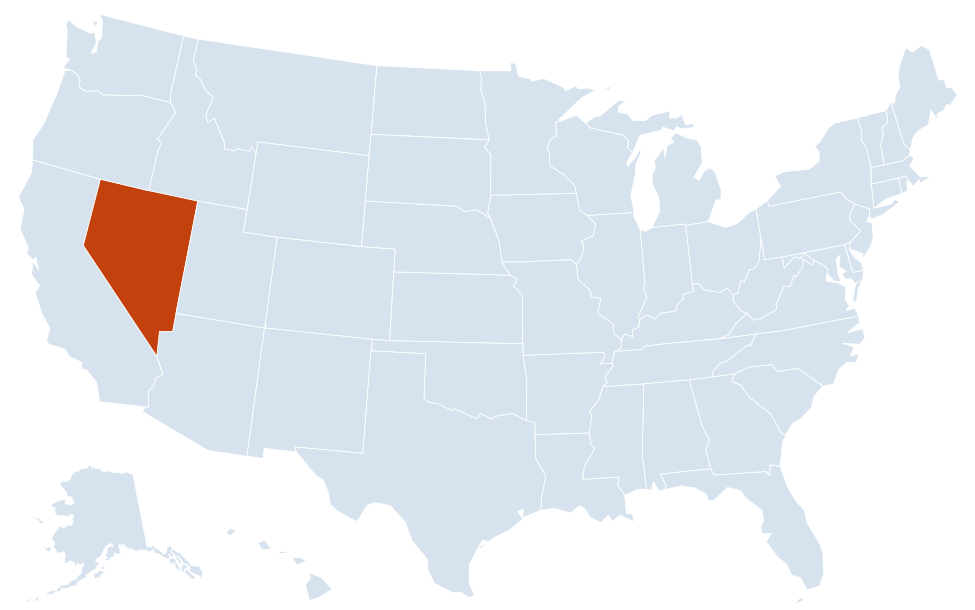
Nevada is in the West region of the United States. Neighboring states: Arizona, California, Idaho, Oregon, Utah.
Largest cities in Nevada
| Rank | City | Population (2020) |
|---|---|---|
| 1 | Las Vegas | 641,903 |
| 2 | Henderson | 317,610 |
| 3 | Reno | 264,165 |
| 4 | North Las Vegas | 262,527 |
| 5 | Sparks | 108,445 |
| 6 | Carson City (capital) | 58,639 |
| 7 | Fernley | 22,895 |
| 8 | Elko | 20,564 |
| 9 | Mesquite | 20,471 |
| 10 | Boulder City | 14,885 |
Incorporated cities only. Several unincorporated communities in the Las Vegas Valley are larger than Sparks: Enterprise (221,831), Spring Valley (215,597), Sunrise Manor (205,618) and Paradise (191,238).
Geography of Nevada
Nevada is the driest state in the US by average precipitation. Most of it lies in the Great Basin, where rivers never reach the ocean and end in lakes, sinks and dry playas instead. Elevations run from 479 ft on the Colorado River in the far south, the lowest point, to 13,140 ft on Boundary Peak near the California line.
Basin and Range
Long, narrow mountain ranges running north–south alternate with flat desert valleys across almost the entire state. US 50 and I-80 cross dozens of these ranges and valleys between the Sierra Nevada and the Utah line. Great Basin National Park, near Baker on the Utah border, protects Wheeler Peak, ancient bristlecone pines and Lehman Caves.
Northern Nevada
- Reno–Sparks and the Truckee Meadows: at the foot of the Sierra Nevada, the state’s second metro area.
- Lake Tahoe and Carson Valley: Nevada shares Lake Tahoe with California; Carson City, Minden and Gardnerville sit in the valleys east of it.
- Pyramid Lake: a large desert lake fed by the Truckee River, within the Pyramid Lake Paiute Reservation northeast of Reno.
- Humboldt River corridor: the river crosses the north from near Wells past Elko, Battle Mountain and Winnemucca to the Humboldt Sink, the route of the California Trail and today of I-80.
- Black Rock Desert: a vast playa in the northwest.
Southern Nevada
- Las Vegas Valley: Las Vegas, Henderson, North Las Vegas and unincorporated Clark County communities in the Mojave Desert, with Red Rock Canyon National Conservation Area on the west side.
- Lake Mead and Hoover Dam: the dam on the Colorado River at the Arizona line, near Boulder City, formed Lake Mead.
- Colorado River: south of the dam the river forms the Arizona border down to Laughlin, the state’s southern tip.
- Valley of Fire State Park: red sandstone formations northeast of Las Vegas, near Overton.
Major highways
- I-15: from the California line at Primm through Las Vegas and North Las Vegas to Mesquite and the Arizona line, toward Utah.
- I-80: from California over the Sierra Nevada to Reno and Sparks, then east through Fernley, Lovelock, Winnemucca, Battle Mountain, Elko and Wells to West Wendover and Utah.
- I-11: from Henderson past Boulder City to Hoover Dam and Arizona.
- I-580: connects Reno with Carson City.
- US 95: the main north–south route, from Las Vegas through Beatty, Tonopah, Hawthorne, Fallon and Winnemucca to Oregon.
- US 93: north from the Las Vegas area through Ely, Wells and Jackpot to Idaho.
- US 50: “The Loneliest Road in America,” from Lake Tahoe and Carson City through Fallon, Austin, Eureka and Ely to Utah.
Printable Nevada maps
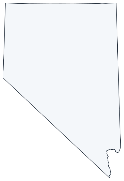
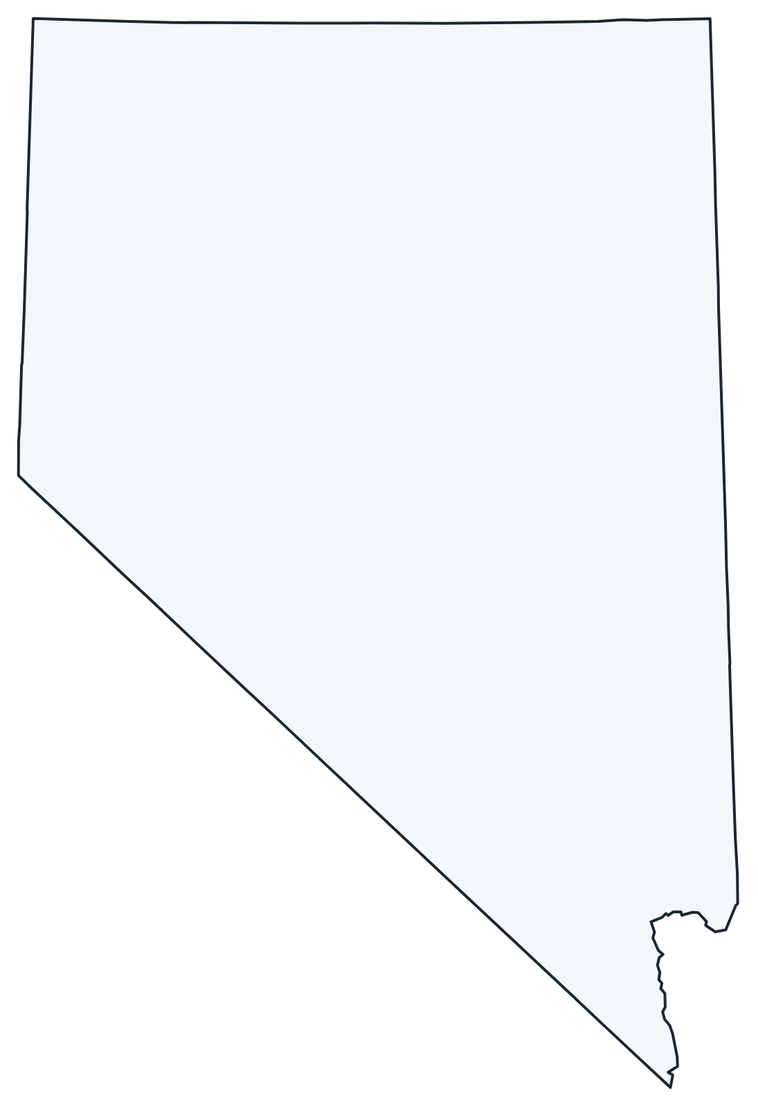
A blank outline of Nevada for coloring, labeling or school projects, and a locator map showing the state within the US. Free for personal and classroom use.
For all 16 counties and the independent city of Carson City with county seats and 2020 population, and a printable labeled map, see the Nevada county map.
Frequently asked questions
What is the capital of Nevada?
Carson City, in western Nevada about 30 miles south of Reno. Las Vegas is the largest city, but not the capital.
How many counties are in Nevada?
There are 16 counties plus Carson City, an independent city that is not part of any county. Clark County, which includes Las Vegas, is the most populous; Nye County is the largest by area.
What time zone is Nevada in?
Nevada uses Pacific Time and observes daylight saving time. The exception is West Wendover, on the Utah line, which uses Mountain Time.
Is the Las Vegas Strip in the city of Las Vegas?
Mostly not. Nearly all of the Strip lies in the unincorporated towns of Paradise and Winchester in Clark County; only the northern end of the Strip is inside the city of Las Vegas, which extends north to downtown.
Neighboring and nearby states
Arizona · California · Idaho · Oregon · Utah · Also in the Mountain division: Arizona, Colorado, Idaho, Montana, New Mexico, Utah, Wyoming
Back to the US state map or browse all 50 state maps.
Sources: U.S. Census Bureau (2020 Census, boundaries), USGS. Last reviewed October 2026.