Florida State Map
Florida is the southeasternmost state, a long peninsula between the Atlantic Ocean and the Gulf with the Panhandle running west along the Gulf coast. Its capital is Tallahassee and its largest city is Jacksonville.
The interactive map shows Florida’s largest cities (capital in red) on an OpenStreetMap base map. Turn on Show counties to see all county lines and hover for names.
Florida quick facts
| Capital | Tallahassee |
|---|---|
| Largest city | Jacksonville |
| Population (2020) | 21,538,187 (3rd of 50) |
| Total area | 65,758 sq mi (22nd of 50) |
| Statehood | March 3, 1845 (27th state) |
| Counties | 67 counties · County map |
| Abbreviation | FL (AP style: Fla.) |
| Region | South (South Atlantic division) |
| Time zone | Eastern Time (ET); Central Time (CT) in most of the Panhandle west of the Apalachicola River |
| Highest point | Britton Hill, 345 ft, the lowest high point of any state |
| Borders | Alabama (north and west), Georgia (north); Atlantic Ocean (east); the Gulf (west); Straits of Florida (south) |
Largest cities in Florida
| Rank | City | Population (2020) |
|---|---|---|
| 1 | Jacksonville | 949,611 |
| 2 | Miami | 442,241 |
| 3 | Tampa | 384,959 |
| 4 | Orlando | 307,573 |
| 5 | St. Petersburg | 258,308 |
| 6 | Hialeah | 223,109 |
| 7 | Port St. Lucie | 204,851 |
| 8 | Tallahassee (capital) | 196,169 |
| 9 | Cape Coral | 194,016 |
| 10 | Fort Lauderdale | 182,760 |
City figures cover city limits only. Jacksonville ranks first because the city consolidated with Duval County in 1968 and covers almost the whole county; the Miami metro area, spread across Miami-Dade, Broward and Palm Beach counties, is far larger than any other in the state.
Regions of Florida
- Panhandle: Pensacola, Panama City and Tallahassee, with white-sand Gulf beaches. Its western part is on Central Time.
- North Florida: Jacksonville, Gainesville and St. Augustine, the oldest continuously inhabited European-founded city in the contiguous US (1565).
- Central Florida: Orlando and its theme parks, the Space Coast around Cape Canaveral, and the Tampa Bay area (Tampa, St. Petersburg, Clearwater).
- Southwest Florida: Sarasota, Fort Myers, Cape Coral and Naples on the Gulf coast.
- South Florida: the Miami-Dade, Broward and Palm Beach metro area, Florida’s largest, and the Everglades.
- Florida Keys: a chain of islands reached by the Overseas Highway (US 1), ending at Key West near the southernmost point of the contiguous US.
Water, wetlands and coastline
Florida has the longest coastline of the contiguous states, about 1,350 miles. Lake Okeechobee is the largest freshwater lake entirely within the state, and water flowing south from it feeds the Everglades. Florida has three national parks: Everglades, Biscayne and Dry Tortugas. The state is also known for more than 1,000 freshwater springs, many in the north-central region.
Other National Park Service sites include Big Cypress National Preserve next to the Everglades, Canaveral National Seashore near the Space Coast, Castillo de San Marcos National Monument in St. Augustine, and Gulf Islands National Seashore, whose Florida section lies around Pensacola and which continues into Mississippi.
Rivers of Florida
- St. Johns River: the longest river entirely within Florida. It flows north, parallel to the Atlantic coast, through Sanford and Palatka and reaches the ocean east of downtown Jacksonville.
- Suwannee River: rises in the Okefenokee Swamp in Georgia and crosses north Florida to the Gulf, fed along the way by many springs.
- Apalachicola River: formed where the Chattahoochee and Flint rivers meet at Lake Seminole on the Georgia line. It flows south to Apalachicola Bay, and much of its course marks the Eastern–Central time zone boundary.
- Kissimmee River: drains the lakes south of Orlando and flows into Lake Okeechobee, the head of the Everglades system.
- Border rivers: the St. Marys River forms the eastern part of the Georgia line, and the Perdido River forms the southern part of the Alabama line west of Pensacola.
Florida county map
Florida has 67 counties. Miami-Dade County is the most populous, followed by Broward, Palm Beach, Hillsborough (Tampa) and Orange (Orlando). Duval County and the city of Jacksonville share a single consolidated government. Liberty County, west of Tallahassee in the Panhandle, is the least populous. Turn on Show counties on the map above to see every county line and hover for names.
Major highways
- I-95: along the Atlantic coast from Jacksonville through Daytona Beach and West Palm Beach to Miami.
- I-75: from Georgia through Gainesville, Ocala, Tampa, Sarasota and Naples, then across the Everglades on Alligator Alley to the Miami area.
- I-4: across the middle of the state from Tampa to Orlando and Daytona Beach.
- I-10: along the Panhandle from Pensacola to Tallahassee and Jacksonville.
- Florida’s Turnpike: a toll road from central Florida to Florida City, near Homestead, south of Miami.
- US 1 (Overseas Highway): 113 miles through the Keys to Key West.
- I-275 and I-295: I-275 runs through Tampa and crosses Tampa Bay to St. Petersburg (its southern leg uses the Sunshine Skyway Bridge); I-295 is a beltway around Jacksonville.
- US 98 and US 27: US 98 follows the Panhandle and Big Bend coast; US 27 runs through the interior from the Tallahassee area past Lake Okeechobee to Miami.
Printable Florida maps
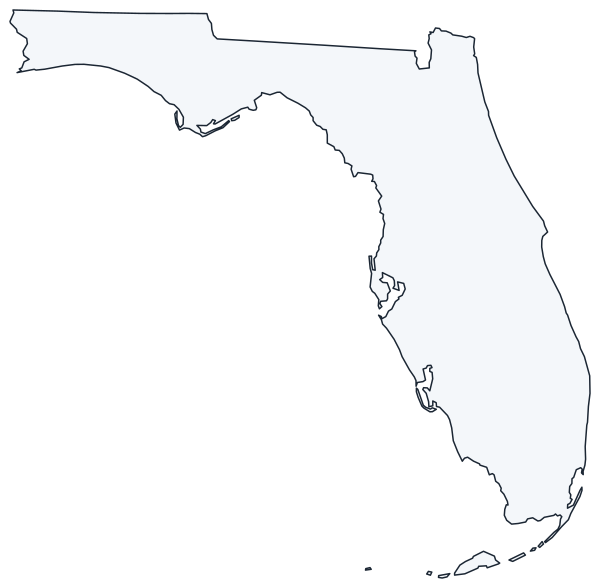
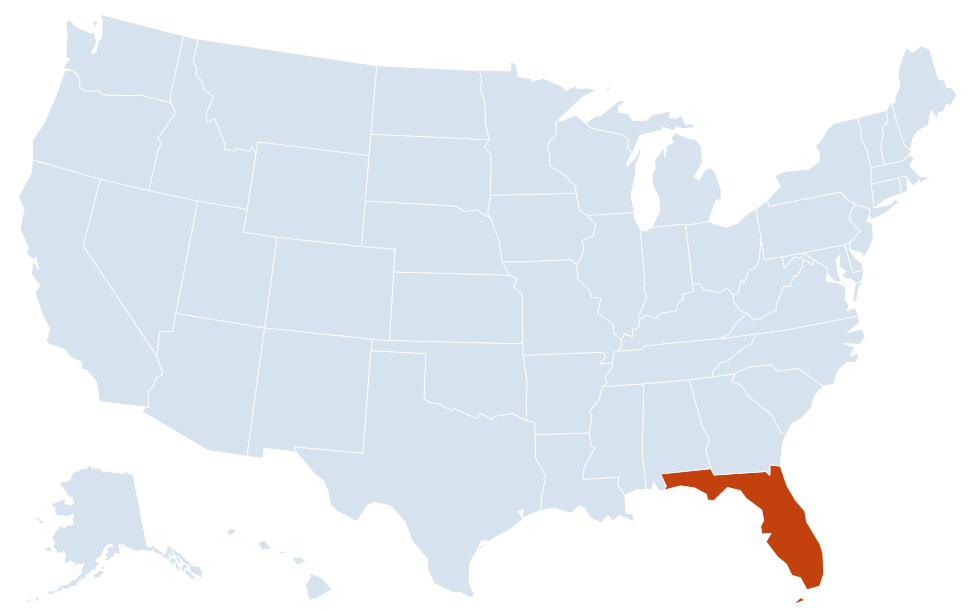
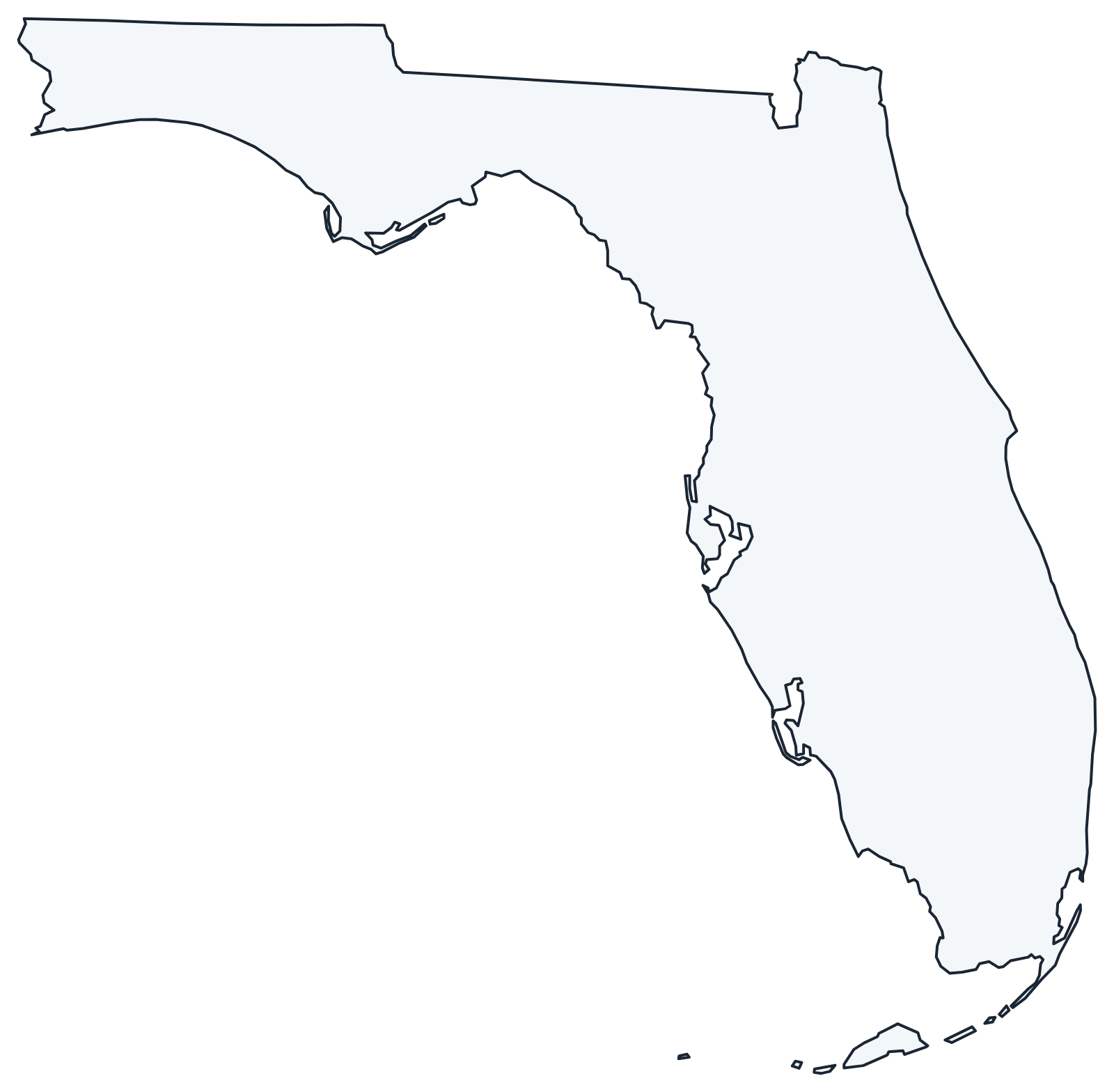
A blank outline of Florida for coloring, labeling or school projects, and a locator map showing the state within the US. Free for personal and classroom use.
For all 67 counties with county seats and 2020 population, and a printable labeled map, see the Florida county map.
Frequently asked questions
What is the capital of Florida?
Tallahassee, in the eastern Panhandle. Jacksonville is the largest city by population, and Miami-Dade is the most populous county.
How many counties are in Florida?
Florida has 67 counties.
Is all of Florida in the same time zone?
No. Most of the state uses Eastern Time, but the Panhandle west of the Apalachicola River uses Central Time.
What is the highest point in Florida?
Britton Hill in Walton County, at 345 feet. It is the lowest state high point in the US.
Why is Jacksonville bigger than Miami?
Jacksonville merged with Duval County in 1968, so its city limits cover a very large area. The city of Miami is much smaller in area, but the Miami metro area has far more people than metro Jacksonville.
Neighboring and nearby states
Alabama · Georgia · Also in the South Atlantic division: Delaware, Maryland, North Carolina, South Carolina, Virginia, West Virginia
Back to the US state map or browse all 50 state maps.
Sources: U.S. Census Bureau (2020 Census, boundaries), USGS, National Park Service. Last reviewed October 2026.