New Mexico State Map
New Mexico is in the Southwest, between Arizona and Texas, with Mexico along its southern border and Colorado to the north. This New Mexico state map shows the capital, Santa Fe, the largest city, Albuquerque, and all 33 counties.
The interactive map shows New Mexico’s largest cities (capital in red) on an OpenStreetMap base map. Turn on Show counties to see all county lines and hover for names.
New Mexico quick facts
| Capital | Santa Fe |
|---|---|
| Largest city | Albuquerque |
| Population (2020) | 2,117,522 (36th of 50) |
| Total area | 121,590 sq mi (5th of 50) |
| Statehood | January 6, 1912 (47th state) |
| Counties | 33 counties · County map |
| Abbreviation | NM (AP style: N.M.) |
| Region | West (Mountain division) |
| Time zone | Mountain Time (MT) |
| Highest point | Wheeler Peak, 13,161 ft (Sangre de Cristo Mountains) |
| Borders | Colorado (north); Oklahoma (northeast); Texas (east and south); Arizona (west); Chihuahua and Sonora, Mexico (south); Utah at the Four Corners |
Largest cities in New Mexico
| Rank | City | Population (2020) |
|---|---|---|
| 1 | Albuquerque | 564,559 |
| 2 | Las Cruces | 111,385 |
| 3 | Rio Rancho | 104,046 |
| 4 | Santa Fe (capital) | 87,505 |
| 5 | Roswell | 48,422 |
| 6 | Farmington | 46,624 |
| 7 | Hobbs | 40,508 |
| 8 | Clovis | 38,567 |
| 9 | Carlsbad | 32,238 |
Geography of New Mexico
New Mexico is the fifth-largest state by area but 36th in population. Most people live in the center, around Albuquerque, Rio Rancho and Santa Fe; much of the rest is desert, mountains and ranch land.
The Continental Divide crosses the western part of the state, between Gallup and Grants on I-40 and near Silver City in the south. Rain falling west of it drains toward the Pacific; to the east, toward the Gulf of Mexico.
Southern Rocky Mountains
The Sangre de Cristo Mountains reach south from Colorado to Santa Fe and hold Wheeler Peak, the state’s highest point, near Taos. The Jemez Mountains rise west of the Rio Grande and hold the Valles Caldera and Los Alamos.
Rio Grande Valley
The Rio Grande enters from Colorado, cuts the Rio Grande Gorge near Taos, and flows south through Albuquerque, Socorro, Truth or Consequences and Las Cruces before leaving the state at El Paso, Texas. Most of New Mexico’s larger cities lie along this valley.
Colorado Plateau
The northwest corner is high mesa and canyon country around Farmington and Gallup, with Shiprock, Chaco Culture National Historical Park and part of the Navajo Nation. The Four Corners Monument marks the one point where New Mexico, Arizona, Colorado and Utah meet.
Great Plains
The eastern third is flat grassland: the High Plains around Clovis and Tucumcari and the Llano Estacado along the Texas line near Hobbs. The Pecos River flows south past Fort Sumner, Roswell and Carlsbad into Texas.
Basin and Range and the Chihuahuan Desert
The south and southwest are desert basins separated by short mountain ranges, including the Organ, Sacramento and Mogollon ranges. The Gila Wilderness near Silver City was the world’s first designated wilderness area, set aside in 1924.
National parks
- Carlsbad Caverns National Park: limestone caves in the Guadalupe Mountains southwest of Carlsbad.
- White Sands National Park: gypsum dunes in the Tularosa Basin near Alamogordo.
New Mexico county map
New Mexico’s 33 counties are large. Catron County, in the mountains of the west-central part of the state, covers about 6,924 sq mi of land, and Socorro County is nearly as big. Los Alamos County is the smallest, about 109 sq mi. Bernalillo County, which includes Albuquerque, had 676,444 people in 2020, nearly a third of the state’s population; Doña Ana County (Las Cruces) was second with 219,561. Harding County, on the northeastern plains, had 657 residents, one of the smallest county populations in the country.
Major highways
- I-25: north–south from the Colorado line at Raton through Las Vegas, Santa Fe, Albuquerque and Socorro to Las Cruces, where it meets I-10.
- I-40: east–west from Arizona through Gallup, Grants, Albuquerque, Santa Rosa and Tucumcari to Texas, roughly following historic Route 66.
- I-10: from Arizona through Lordsburg, Deming and Las Cruces to El Paso, Texas.
- US 285: from the Colorado line through Santa Fe, Roswell and Carlsbad toward Texas.
- US 550: from Bernalillo, north of Albuquerque, northwest to Farmington and Colorado.
- US 70 and US 54: southern routes linking Las Cruces, Alamogordo, Roswell, Clovis and Tucumcari.
Printable New Mexico maps
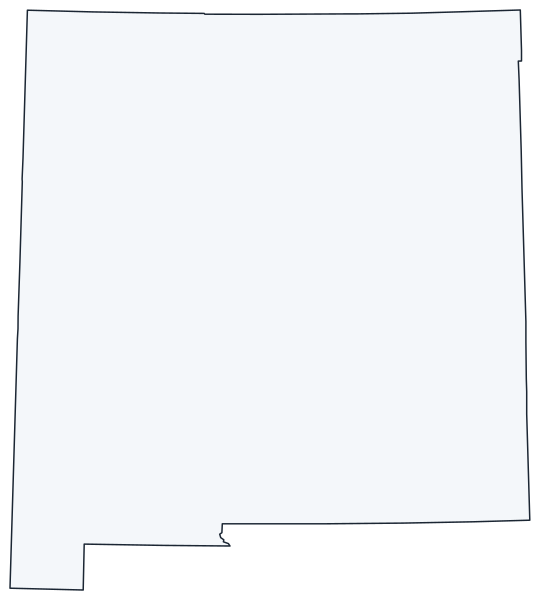
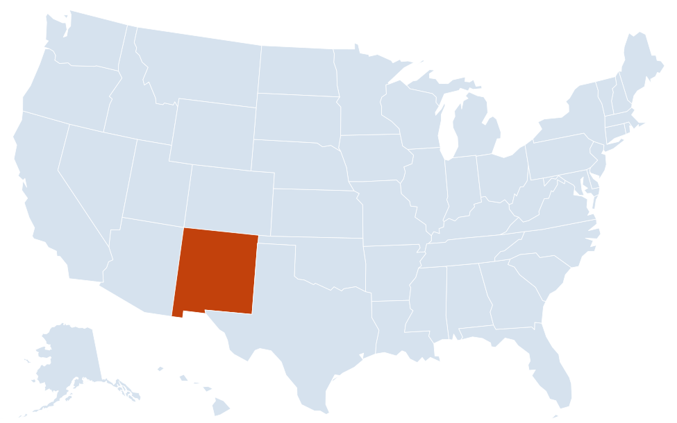
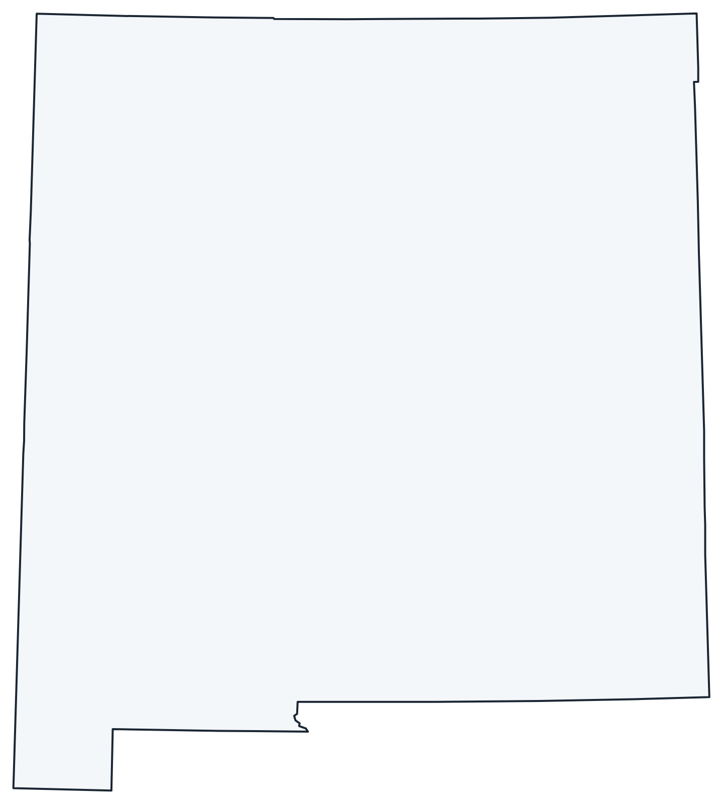
A blank outline of New Mexico for coloring, labeling or school projects, and a locator map showing the state within the US. Free for personal and classroom use.
For all 33 counties with county seats and 2020 population, and a printable labeled map, see the New Mexico county map.
Frequently asked questions
What is the capital of New Mexico?
Santa Fe, founded as a Spanish colonial capital in the early 1600s and the oldest state capital city in the US. Albuquerque, about 60 miles southwest, is the largest city.
How many counties are in New Mexico?
There are 33 counties. Bernalillo County, which includes Albuquerque, is the most populous; Catron County is the largest by land area.
What time zone is New Mexico in?
The whole state uses Mountain Time and observes daylight saving time, unlike most of neighboring Arizona.
Which states meet at the Four Corners?
New Mexico, Arizona, Colorado and Utah. It is the only point in the US where four states meet, and it lies on Navajo Nation land.
Neighboring and nearby states
Arizona · Colorado · Oklahoma · Texas · Utah (Four Corners) · Also in the Mountain division: Arizona, Colorado, Idaho, Montana, Nevada, Utah, Wyoming
Back to the US state map or browse all 50 state maps.
Sources: U.S. Census Bureau (2020 Census, boundaries), USGS, National Park Service. Last reviewed October 2026.