Kansas State Map
Kansas lies in the middle of the Great Plains, between Missouri and Colorado; the geographic center of the 48 contiguous states is near Lebanon in northern Kansas. Its capital is Topeka and its largest city is Wichita.
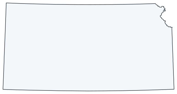
The interactive map shows Kansas’s largest cities (capital in red) on an OpenStreetMap base map. Turn on Show counties to see all county lines and hover for names.
Kansas quick facts
| Capital | Topeka |
|---|---|
| Largest city | Wichita |
| Population (2020) | 2,937,880 (35th of 50) |
| Total area | 82,278 sq mi (15th of 50) |
| Statehood | January 29, 1861 (34th state) |
| Counties | 105 counties · County map |
| Abbreviation | KS (AP style: Kan.) |
| Region | Midwest (West North Central division) |
| Time zone | Central Time (CT); Mountain Time (MT) in four western counties |
| Highest point | Mount Sunflower, 4,039 ft |
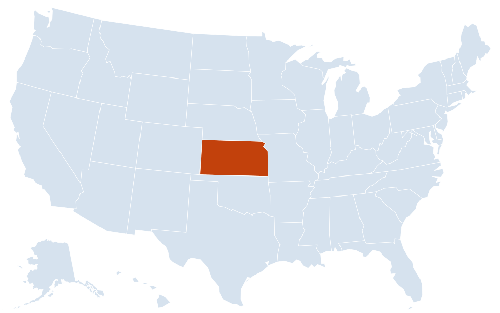
| Borders | Nebraska (north), Missouri (east), Oklahoma (south), Colorado (west) |
Largest cities in Kansas
| Rank | City | Population (2020) |
|---|---|---|
| 1 | Wichita | 397,532 |
| 2 | Overland Park | 197,238 |
| 3 | Kansas City | 156,607 |
| 4 | Olathe | 141,290 |
| 5 | Topeka (capital) | 126,587 |
| 6 | Lawrence | 94,934 |
| 7 | Shawnee | 67,311 |
| 8 | Lenexa | 57,434 |
| 9 | Manhattan | 54,100 |
| 10 | Salina | 46,889 |
Five of the ten largest cities (Overland Park, Kansas City, Olathe, Shawnee and Lenexa) are in the Kansas side of the Kansas City metro area.
Regions of Kansas
Kansas rises gradually from east to west: from under 1,000 ft along the Missouri border to 4,039 ft at Mount Sunflower, a gentle rise on a ranch in Wallace County beside the Colorado line. The east is wetter, wooded in places and more populated; the west is dry, open plains with irrigated cropland and cattle feedlots.
- Northeast (Glaciated Region): the only part of Kansas reached by Ice Age glaciers, with Kansas City, Lawrence (University of Kansas), Topeka and Leavenworth, home of Fort Leavenworth.
- Flint Hills: a band of rocky, rolling hills from near the Nebraska line south to Oklahoma, too stony to plow and still covered by the largest remaining area of tallgrass prairie in North America. Tallgrass Prairie National Preserve is near Strong City, and Manhattan (Kansas State University) sits at the northern end.
- Southeast (Osage Cuestas and Cherokee Lowlands): hills, lakes and former coal-mining country around Emporia, Pittsburg and Coffeyville.
- Smoky Hills: north-central uplands of sandstone, limestone and chalk around Salina and Hays.
- Arkansas River Lowlands and Wellington–McPherson Lowlands: the corridor followed by the Arkansas River through Garden City, Dodge City, Great Bend, Hutchinson and Wichita.
- Red Hills (Gypsum Hills): red buttes and mesas along the Oklahoma border west of Wichita.
- High Plains: the flat western third around Goodland, Colby, Garden City and Liberal, where chalk formations such as Monument Rocks break the horizon.
Rivers
The Missouri River forms the short northeast border with Missouri, from the Nebraska line down to Kansas City. The Kansas (Kaw) River begins at Junction City, where the Smoky Hill and Republican rivers meet, and flows east past Manhattan, Topeka and Lawrence. The Arkansas River crosses the southern half of the state from Colorado to Oklahoma. Near Great Bend, Cheyenne Bottoms, a large inland marsh, and Quivira National Wildlife Refuge are major stopovers for migrating shorebirds and cranes.
Kansas entered the Union as a free state on January 29, 1861, after years of violent conflict over slavery known as “Bleeding Kansas.”
Major highways
- I-70: the main east–west route, from Kansas City through Lawrence and Topeka (as the Kansas Turnpike), then Junction City, Salina, Hays, Colby and Goodland to Colorado.
- I-35: from Kansas City through Olathe to Emporia, then as the Kansas Turnpike through Wichita to Oklahoma.
- I-135: from Wichita north through Newton and McPherson to I-70 at Salina.
- I-335: the turnpike link between Topeka and Emporia.
- I-435, I-635 and I-235: beltways and bypasses around Kansas City and Wichita.
- US 50, US 400 and US 54: the main routes to southwest Kansas; US 50 and US 400 serve Dodge City and Garden City, and US 54 runs from Wichita to Liberal.
- US 69 and US 81: north–south routes through southeast Kansas (Fort Scott, Pittsburg) and central Kansas (Concordia, Salina).
Printable Kansas maps
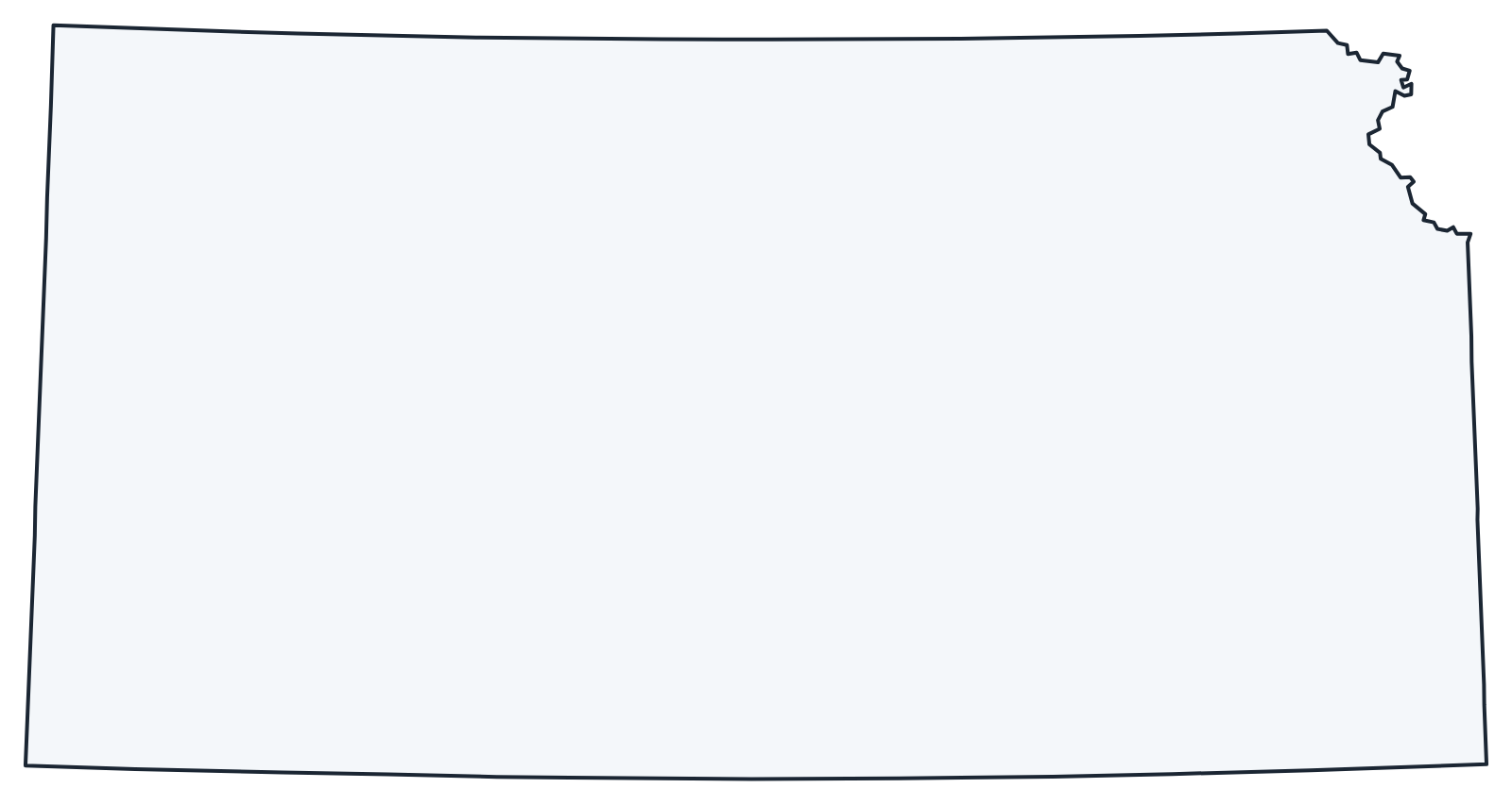
A blank outline of Kansas for coloring, labeling or school projects, and a locator map showing the state within the US. Free for personal and classroom use.
For all 105 counties with county seats and 2020 population, and a printable labeled map, see the Kansas county map.
Frequently asked questions
What is the capital of Kansas?
Topeka, on the Kansas River in the northeast. Wichita is the largest city. See all capitals on the US map with capitals.
How many counties are in Kansas?
There are 105 counties. Johnson County, in the Kansas City suburbs, is the most populous, and Butler County, east of Wichita, is the largest by land area.
What time zones are in Kansas?
Almost all of Kansas uses Central Time. Four counties on the Colorado border (Sherman, Wallace, Greeley and Hamilton) use Mountain Time. See the US time zones map.
Is Kansas City in Kansas or Missouri?
Both. Kansas City, Kansas, and the larger Kansas City, Missouri, are separate cities facing each other across the state line at the junction of the Kansas and Missouri rivers.
Neighboring and nearby states
Colorado · Missouri · Nebraska · Oklahoma · Also in the West North Central division: Iowa, Minnesota, Missouri, Nebraska, North Dakota, South Dakota
Back to the US state map or browse all 50 state maps.
Sources: U.S. Census Bureau (2020 Census, boundaries), USGS, National Park Service. Last reviewed October 2026.