North Dakota State Map
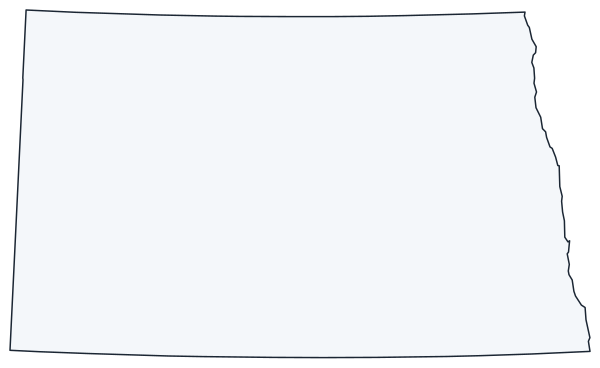
North Dakota is on the northern Great Plains, bordered by Canada to the north, Minnesota to the east, South Dakota to the south and Montana to the west. This North Dakota state map shows the capital, Bismarck, the largest city, Fargo, and all 53 counties.
The interactive map shows North Dakota’s largest cities (capital in red) on an OpenStreetMap base map. Turn on Show counties to see all county lines and hover for names.
North Dakota quick facts
| Capital | Bismarck |
|---|---|
| Largest city | Fargo |
| Population (2020) | 779,094 (47th of 50) |
| Total area | 70,698 sq mi (19th of 50) |
| Statehood | November 2, 1889 (39th state) |
| Counties | 53 counties · County map |
| Abbreviation | ND (AP style: N.D.) |
| Region | Midwest (West North Central division) |
| Time zone | Central Time (CT); Mountain Time (MT) in the southwest |
| Highest point | White Butte, 3,506 ft (Slope County) |
| Borders | Minnesota (east, across the Red River); South Dakota (south); Montana (west); Saskatchewan and Manitoba, Canada (north) |
Where is North Dakota?
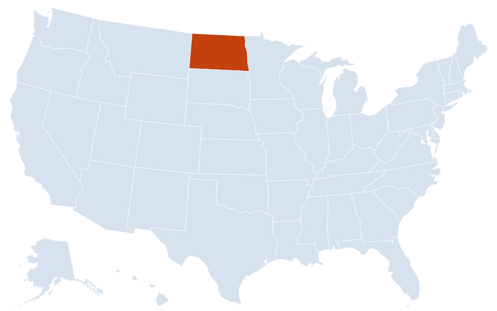
North Dakota is in the Midwest region of the United States. Neighboring states: Minnesota, Montana, South Dakota.
Largest cities in North Dakota
| Rank | City | Population (2020) |
|---|---|---|
| 1 | Fargo | 125,990 |
| 2 | Bismarck (capital) | 73,622 |
| 3 | Grand Forks | 59,166 |
| 4 | Minot | 48,377 |
| 5 | West Fargo | 38,626 |
| 6 | Williston | 29,160 |
| 7 | Dickinson | 25,679 |
| 8 | Mandan | 24,206 |
| 9 | Jamestown | 15,849 |
Geography of North Dakota
The land rises gradually from east to west, from under 1,000 feet in the Red River Valley to over 3,000 feet in the southwest badlands. Three broad bands run north to south across the state.
Red River Valley
A strip of very flat, fertile farmland along the Minnesota line, the bed of glacial Lake Agassiz. The Red River of the North flows north past Wahpeton, Fargo and Grand Forks into Manitoba. Because it flows north, spring snowmelt upstream often backs up behind ice and floods the valley, as it did in Grand Forks in 1997. Fargo and West Fargo, in Cass County, form the state’s largest urban area.
Drift Prairie
Rolling farmland in the middle of the state, dotted with glacial lakes and prairie potholes, around Jamestown, Valley City, Devils Lake and Rugby. Devils Lake is the largest natural lake in North Dakota. The Turtle Mountains rise along the Manitoba border, where the International Peace Garden straddles the boundary.
Missouri Plateau
West of the Missouri Escarpment, the land is higher, drier ranch and wheat country. The Missouri River enters from Montana near Williston, widens into Lake Sakakawea behind Garrison Dam, then flows south past Bismarck and Mandan into Lake Oahe and South Dakota. Lewis and Clark spent the winter of 1804–05 at Fort Mandan on this stretch of the river, near present-day Washburn; Lake Sakakawea is named for the Shoshone woman who joined them there. The northwest sits on the Bakken oil formation around Williston and Watford City.
Badlands and Theodore Roosevelt National Park
The Little Missouri River has carved colorful badlands in the west. Theodore Roosevelt National Park has a South Unit at Medora, along I-94, and a North Unit south of Watford City. White Butte, the highest point, is in Slope County in the far southwest.
North Dakota county map
North Dakota has 53 counties. Cass County, which includes Fargo and West Fargo, had 184,525 people in 2020, nearly a quarter of the state’s population. Burleigh County (Bismarck) was second with 98,458, and Grand Forks County third with 73,170. Slope County, home to White Butte, is the least populous, with 706 residents. McKenzie County, in the oil country of the northwest, is the largest by land area, about 2,760 sq mi; Eddy County, near Devils Lake, is the smallest, about 630 sq mi.
Major highways
- I-94: the main east–west route, from Montana through Dickinson, Mandan, Bismarck, Jamestown, Valley City and Fargo to Moorhead, Minnesota.
- I-29: north–south along the Red River Valley from South Dakota through Fargo and Grand Forks to the Canadian border at Pembina.
- US 2: across the north from Montana through Williston, Minot, Devils Lake and Grand Forks.
- US 83: north–south through Bismarck and Minot, between South Dakota and Canada.
- US 85: in the far west, through Bowman, Belfield, Watford City and Williston.
- US 52 and US 281: diagonal and north–south routes across the Drift Prairie through Jamestown and Minot.
Printable North Dakota maps
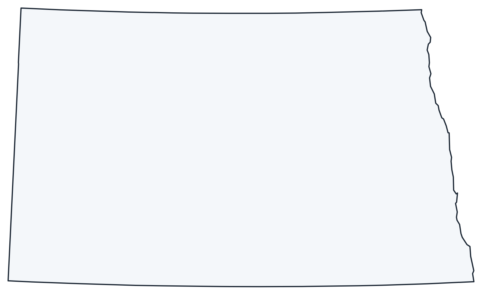
A blank outline of North Dakota for coloring, labeling or school projects, and a locator map showing the state within the US. Free for personal and classroom use.
For all 53 counties with county seats and 2020 population, and a printable labeled map, see the North Dakota county map.
Frequently asked questions
What is the capital of North Dakota?
Bismarck, on the east bank of the Missouri River across from Mandan. Fargo is the largest city, but not the capital.
How many counties are in North Dakota?
There are 53 counties. Cass County, which includes Fargo, is the most populous; McKenzie County is the largest by land area.
What time zone is North Dakota in?
Most of the state uses Central Time. The southwest, including Dickinson and Medora, uses Mountain Time. Both zones observe daylight saving time.
Why are there two Dakotas?
Dakota Territory was split in two, and North Dakota and South Dakota were admitted on the same day, November 2, 1889. North Dakota is counted as the 39th state and South Dakota as the 40th.
Neighboring and nearby states
Minnesota · Montana · South Dakota · Also in the West North Central division: Iowa, Kansas, Minnesota, Missouri, Nebraska, South Dakota
Back to the US state map or browse all 50 state maps.
Sources: U.S. Census Bureau (2020 Census, boundaries), USGS, National Park Service. Last reviewed October 2026.