Connecticut State Map
Connecticut is the southernmost New England state, on the north shore of Long Island Sound between New York to the west and Rhode Island to the east, with Massachusetts to the north. This Connecticut state map shows its cities and eight historical counties. The capital is Hartford and the largest city is Bridgeport.
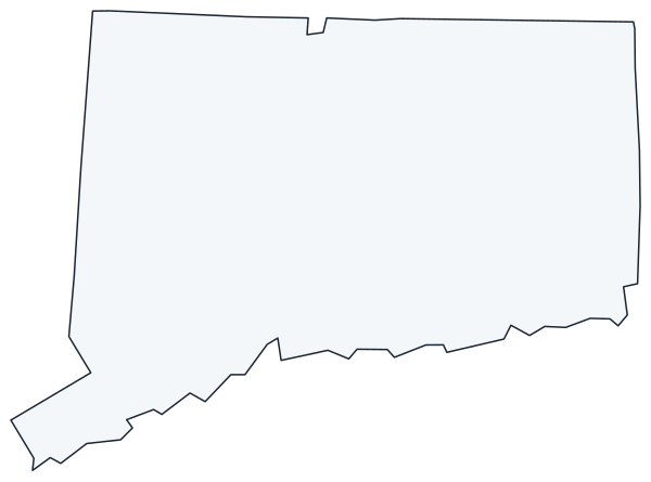
The interactive map shows Connecticut’s largest cities (capital in red) on an OpenStreetMap base map. Turn on Show counties to see all county lines and hover for names. The map uses the eight historical counties.
Connecticut quick facts
| Capital | Hartford |
|---|---|
| Largest city | Bridgeport |
| Population (2020) | 3,605,944 (29th of 50) |
| Total area | 5,543 sq mi (48th of 50) |
| Statehood | January 9, 1788 (5th state) |
| Counties | 8 historical counties (no county government); 9 planning regions · County map |
| Abbreviation | CT (AP style: Conn.) |
| Region | Northeast (New England division) |
| Time zone | Eastern Time (ET) |
| Highest point | South slope of Mount Frissell, 2,380 ft |
| Borders | Massachusetts (north), Rhode Island (east), New York (west), Long Island Sound (south) |
Where is Connecticut?
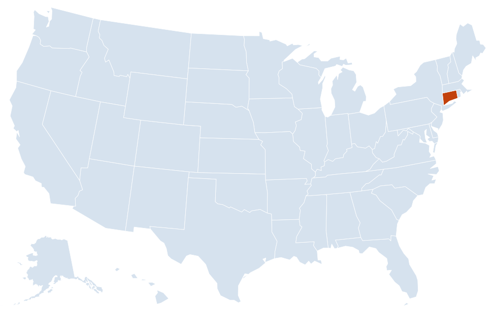
Connecticut is in the Northeast region of the United States. Neighboring states: Massachusetts, New York, Rhode Island.
Largest cities in Connecticut
Connecticut is divided into 169 towns and cities. No single city dominates: the five largest each have between 114,000 and 149,000 people.
| Rank | City | Population (2020) |
|---|---|---|
| 1 | Bridgeport | 148,654 |
| 2 | Stamford | 135,470 |
| 3 | New Haven | 134,023 |
| 4 | Hartford (capital) | 121,054 |
| 5 | Waterbury | 114,403 |
| 6 | Norwalk | 91,184 |
| 7 | Danbury | 86,518 |
| 8 | New Britain | 74,135 |
Regions of Connecticut
Connecticut is about 110 miles wide and 70 miles from north to south. Its landscape runs from rocky hills in the northwest to a low coastline of harbors and salt marshes along Long Island Sound.
Fairfield County and the Gold Coast
The southwestern corner, closest to New York City, holds Greenwich, Stamford, Norwalk and Bridgeport. New Haven, home of Yale University, lies just up the coast. Many residents commute to Manhattan by Metro-North rail along the shore.
Connecticut River Valley
The Connecticut River, New England’s longest, enters from Massachusetts near Enfield and flows south through Hartford and Middletown to Long Island Sound at Old Saybrook. The central valley around Hartford and New Britain is the state’s historic manufacturing and insurance center.
Naugatuck Valley
Waterbury and a chain of former mill towns follow the Naugatuck River south toward the Housatonic River and the coast.
Litchfield Hills
The northwest corner is the highest and most rural part of the state. The Housatonic River and the Appalachian Trail cross it, and the state’s highest ground lies near Salisbury on the Massachusetts line.
Shoreline and southeastern Connecticut
East of New Haven, the coast continues past Old Saybrook to New London, Groton and Mystic, where the Thames River meets the Sound. The U.S. Coast Guard Academy is in New London, and the Navy’s submarine base sits across the river in Groton.
The Quiet Corner
The northeast, around Putnam and Willimantic, is a region of small towns, farms and woodland along the Rhode Island and Massachusetts lines.
Counties and planning regions
Connecticut abolished county government in 1960, and its 169 towns and cities provide most local services. The eight historical counties (Fairfield, Hartford, Litchfield, Middlesex, New Haven, New London, Tolland and Windham) remain familiar geographic names and were used in the 2020 Census. Since 2022, the U.S. Census Bureau has used the state’s nine councils-of-governments planning regions in place of counties for its statistics.
Major highways
- I-95: along the coast from Greenwich through Stamford, Bridgeport, New Haven and New London to Rhode Island.
- I-84: from New York through Danbury, Waterbury and Hartford to Massachusetts.
- I-91: north from New Haven through Meriden and Hartford to Springfield, Massachusetts.
- I-395: from I-95 near New London north through Norwich and the Quiet Corner to Massachusetts.
- Merritt and Wilbur Cross parkways (CT 15): a parallel route to I-95 from the New York line to New Haven, then north to Meriden; trucks are banned on the Merritt.
- I-691, I-291 and I-384: short connectors around Meriden and Hartford.
- US 7 and US 6: from Norwalk north through Danbury into the Litchfield Hills, and east–west across the state through Danbury, Waterbury, Hartford and Willimantic.
Printable Connecticut maps
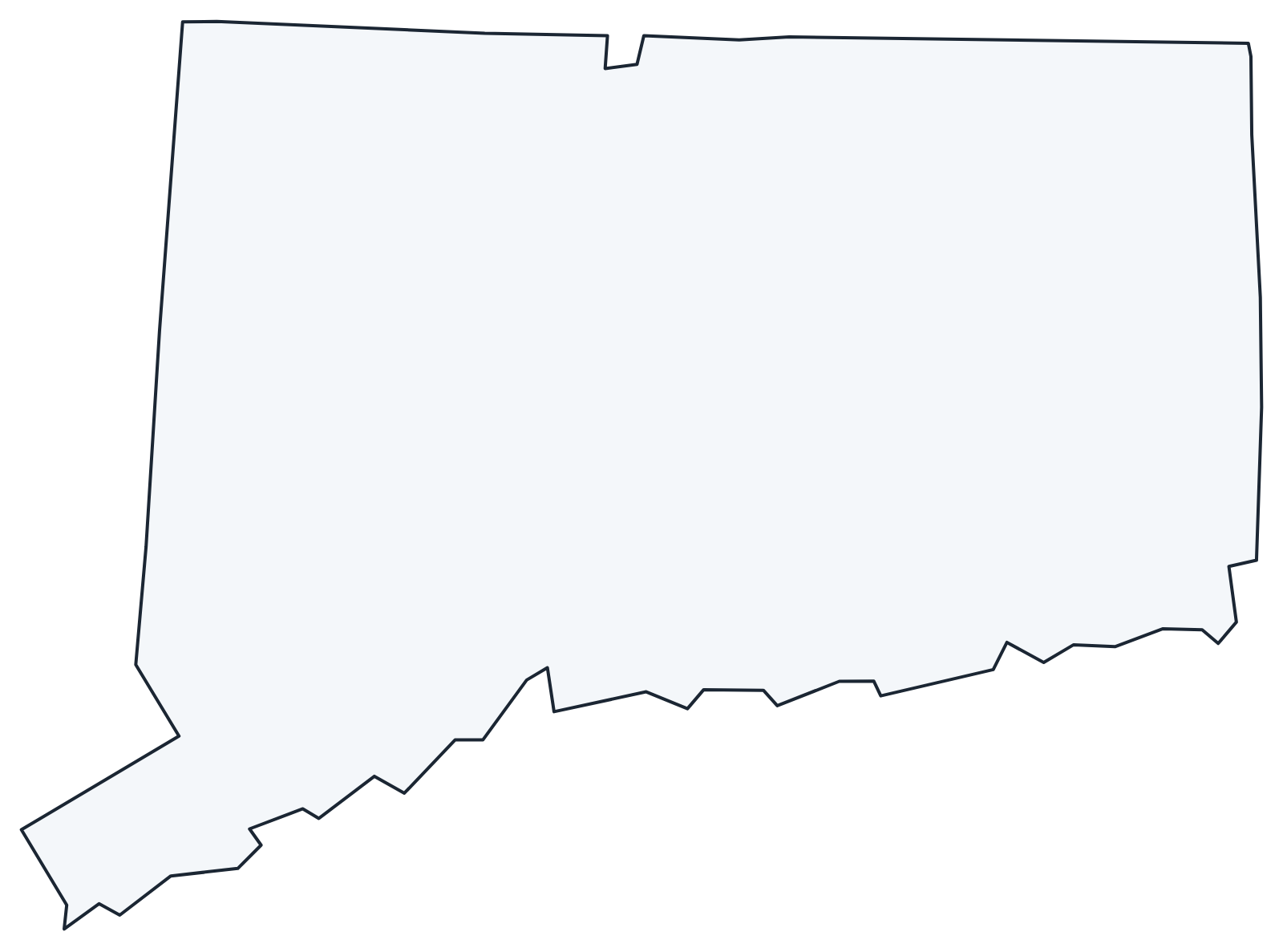
A blank outline of Connecticut for coloring, labeling or school projects, and a locator map showing the state within the US. Free for personal and classroom use.
For all 8 counties with county seats and 2020 population, and a printable labeled map, see the Connecticut county map.
Frequently asked questions
What is the capital of Connecticut?
Hartford, on the Connecticut River. Hartford and New Haven shared the role until 1875, when Hartford became the sole capital. Bridgeport is the largest city.
How many counties are in Connecticut?
Connecticut has eight historical counties but no county government; since 2022 the Census Bureau uses nine planning regions instead. Fairfield County was the most populous county in 2020, and Litchfield County is the largest by area.
What time zone is Connecticut in?
The whole state uses Eastern Time and observes daylight saving time.
What is the highest point in Connecticut?
The south slope of Mount Frissell, at 2,380 feet, near the Massachusetts line. The summit of Mount Frissell is in Massachusetts; the highest peak entirely in Connecticut is nearby Bear Mountain.
Neighboring and nearby states
Massachusetts · New York · Rhode Island · Also in the New England division: Maine, Massachusetts, New Hampshire, Rhode Island, Vermont
Back to the US state map or browse all 50 state maps.
Sources: U.S. Census Bureau (2020 Census, boundaries), USGS. Last reviewed October 2026.