Arizona State Map
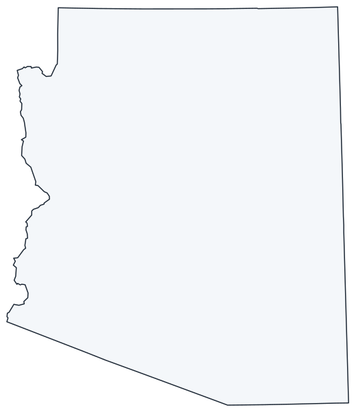
This Arizona state map shows a Southwest state on the Mexican border, between California and New Mexico, that meets Utah, Colorado and New Mexico at the Four Corners. Phoenix is both its capital and its largest city.
The interactive map shows Arizona’s largest cities (capital in red) on an OpenStreetMap base map. Turn on Show counties to see all county lines and hover for names.
Arizona quick facts
| Capital | Phoenix |
|---|---|
| Largest city | Phoenix |
| Population (2020) | 7,151,502 (14th of 50) |
| Total area | 113,990 sq mi (6th of 50) |
| Statehood | February 14, 1912 (48th state) |
| Counties | 15 counties · County map |
| Abbreviation | AZ (AP style: Ariz.) |
| Region | West (Mountain division) |
| Time zone | Mountain Standard Time all year (no daylight saving time), except the Navajo Nation, which observes DST |
| Highest point | Humphreys Peak, 12,633 ft |
| Borders | Utah (north), New Mexico (east), Nevada and California (west), Colorado (at the Four Corners); Sonora and Baja California, Mexico (south) |
Where is Arizona?
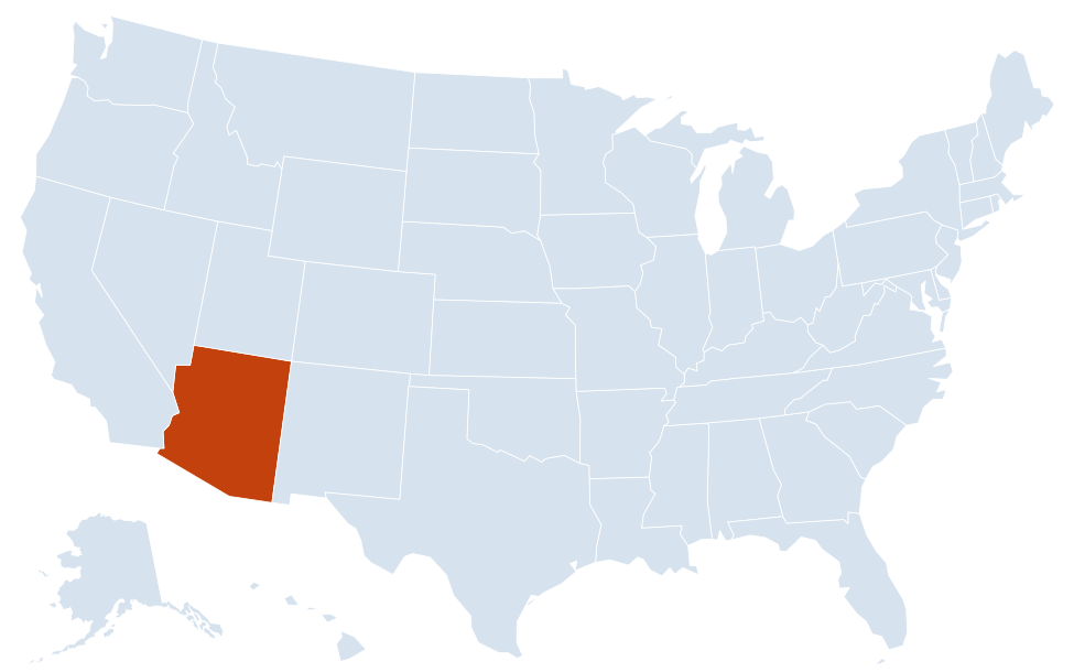
Arizona is in the West region of the United States. Neighboring states: California, Nevada, Utah, New Mexico; it touches Colorado at the Four Corners.
Largest cities in Arizona
| Rank | City | Population (2020) |
|---|---|---|
| 1 | Phoenix (capital) | 1,608,139 |
| 2 | Tucson | 542,629 |
| 3 | Mesa | 504,258 |
| 4 | Chandler | 275,987 |
| 5 | Gilbert | 267,918 |
| 6 | Glendale | 248,325 |
| 7 | Scottsdale | 241,361 |
| 8 | Peoria | 190,985 |
| 9 | Tempe | 180,587 |
| 10 | Surprise | 143,148 |
Every city in the table except Tucson is in the Phoenix metro area. Phoenix is the only state capital with more than one million residents. Gilbert is legally a town.
Regions of Arizona
Arizona divides into three broad zones: high plateau country in the north, a band of mountains through the middle, and low desert basins in the south and west.
Colorado Plateau
The northern part of the state is a high, dry tableland cut by canyons. The Grand Canyon, carved by the Colorado River, is protected in Grand Canyon National Park; its South Rim is reached from Flagstaff and Williams. Farther east are Petrified Forest National Park, Canyon de Chelly and the Navajo Nation, the largest reservation in the US, which extends into Utah and New Mexico and includes Monument Valley. Lake Powell, behind Glen Canyon Dam near Page, crosses into Utah.
Mogollon Rim and the Central Highlands
The Mogollon Rim, a long escarpment, marks the southern edge of the plateau. Below it lie pine-covered mountains and mile-high towns such as Prescott and Payson. Sedona’s red-rock canyons sit between the rim and the Verde Valley. Flagstaff, at about 7,000 ft, is at the foot of the San Francisco Peaks, where Humphreys Peak is the state’s high point.
Sonoran Desert and the Valley of the Sun
Phoenix and its suburbs fill the Salt River Valley, called the Valley of the Sun. Maricopa County alone has about 62% of the state’s population. Tucson, about 115 miles southeast, is surrounded by mountains and by the two districts of Saguaro National Park.
Western deserts and the Colorado River
The Colorado River forms most of the border with Nevada and California. Hoover Dam and Lake Mead are on the Nevada line; downstream are Bullhead City, Lake Havasu City, with its relocated London Bridge, and Yuma near the Mexican border. Kingman sits in the Mojave Desert along historic Route 66.
Southeastern sky islands
Isolated ranges such as the Chiricahua, Huachuca and Santa Rita mountains rise above desert grassland near Sierra Vista, Tombstone and Bisbee. Nogales is the main border crossing to Sonora.
The Gila River crosses the south of the state from New Mexico to the Colorado River at Yuma; its tributary, the Salt River, flows through Phoenix.
Major highways
- I-10: from the California line through Phoenix and Tucson to New Mexico, the main east–west route in the south.
- I-17: Phoenix north to Flagstaff, climbing from the desert to the plateau.
- I-40: across the north through Kingman, Flagstaff and Holbrook, roughly following old Route 66.
- I-8: from Yuma and the California line east to I-10 near Casa Grande.
- I-19: Tucson to Nogales at the Mexican border; its distances are posted in kilometers.
- I-15: clips the northwest corner through the Virgin River Gorge between Nevada and Utah.
- US 93 and US 89: Wickenburg, northwest of Phoenix, to Kingman and across the Colorado River near Hoover Dam toward Las Vegas; and Flagstaff north to Page and Utah.
- Loop 101, Loop 202 and Loop 303: freeways ringing the Phoenix metro area.
Printable Arizona maps
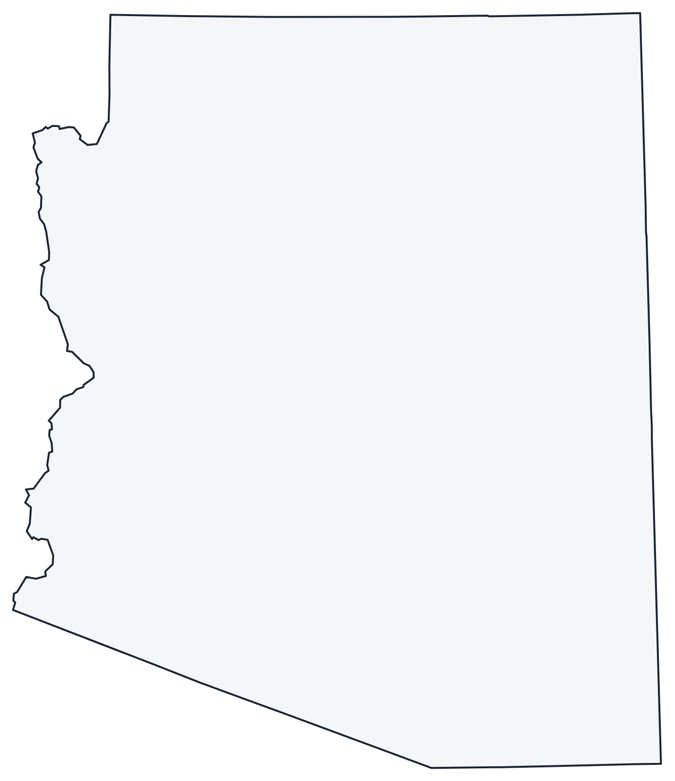
A blank outline of Arizona for coloring, labeling or school projects, and a locator map showing the state within the US. Free for personal and classroom use.
For all 15 counties with county seats and 2020 population, and a printable labeled map, see the Arizona county map.
Frequently asked questions
What is the capital of Arizona?
Phoenix, which is also the largest city. With 1,608,139 people in 2020, it is the most populous state capital in the country.
How many counties are in Arizona?
There are 15 counties. Maricopa County, which includes Phoenix, is the most populous; Coconino County, home to Flagstaff and most of the Grand Canyon, is the largest by area.
Does Arizona observe daylight saving time?
No. Arizona stays on Mountain Standard Time all year, so in summer its clocks match Pacific Time. The Navajo Nation in the northeast does observe daylight saving time, but the Hopi Reservation inside it does not.
Where is the Grand Canyon on a map of Arizona?
In northern Arizona, northwest of Flagstaff. Grand Canyon Village on the South Rim is reached from I-40 at Williams or Flagstaff; the more remote North Rim is reached from US 89A near the Utah line.
Neighboring and nearby states
California · Nevada · Utah · New Mexico · Also in the Mountain division: Colorado, Idaho, Montana, Nevada, New Mexico, Utah, Wyoming
Back to the US state map or browse all 50 state maps.
Sources: U.S. Census Bureau (2020 Census, boundaries), USGS, National Park Service. Last reviewed October 2026.