Indiana State Map
Indiana is a Midwestern state between Illinois and Ohio, with a short Lake Michigan shoreline in the northwest and the Ohio River along its entire southern border with Kentucky. Its capital and largest city is Indianapolis, near the center of the state.
The interactive map shows Indiana’s largest cities (capital in red) on an OpenStreetMap base map. Turn on Show counties to see all county lines and hover for names.
Indiana quick facts
| Capital | Indianapolis |
|---|---|
| Largest city | Indianapolis |
| Population (2020) | 6,785,528 (17th of 50) |
| Total area | 36,420 sq mi (38th of 50) |
| Statehood | December 11, 1816 (19th state) |
| Counties | 92 counties · County map |
| Abbreviation | IN (AP style: Ind.) |
| Region | Midwest (East North Central division) |
| Time zone | Eastern Time (ET); Central Time (CT) in 12 counties in the northwest (near Chicago) and southwest (near Evansville) |
| Highest point | Hoosier Hill, 1,257 ft |
| Borders | Michigan (north), Ohio (east), Kentucky (south, across the Ohio River), Illinois (west), Lake Michigan (northwest) |
Largest cities in Indiana
| Rank | City | Population (2020) |
|---|---|---|
| 1 | Indianapolis (capital) | 887,642 |
| 2 | Fort Wayne | 263,886 |
| 3 | Evansville | 117,298 |
| 4 | South Bend | 103,453 |
| 5 | Carmel | 99,757 |
| 6 | Fishers | 98,977 |
| 7 | Bloomington | 79,168 |
| 8 | Hammond | 77,879 |
| 9 | Lafayette | 70,783 |
| 10 | Noblesville | 69,604 |
Indianapolis is consolidated with Marion County; the figure is the Census “balance,” which leaves out the separately incorporated towns inside the county, such as Beech Grove, Lawrence and Speedway.
Geography of Indiana
Glaciers flattened the northern two-thirds of Indiana during the Ice Ages, leaving level farmland of corn and soybeans. The southern third escaped the last ice sheets and is hilly, wooded and riddled with limestone caves.
Northern Indiana
- Calumet Region: the industrial northwest corner on Lake Michigan, with Gary, Hammond and East Chicago, part of the Chicago metro area.
- Indiana Dunes: sand dunes, beaches and wetlands along the lakeshore between Gary and Michigan City, protected since 2019 as Indiana Dunes National Park.
- Michiana: South Bend, home of the University of Notre Dame, and Elkhart, a center of RV manufacturing, near the Michigan line.
- Northeast Indiana: Fort Wayne, where the St. Joseph and St. Marys rivers join to form the Maumee River, plus a cluster of small glacial lakes.
Central Indiana
The Tipton Till Plain covers the middle of the state. Indianapolis sits on the White River, surrounded by fast-growing Hamilton County suburbs (Carmel, Fishers, Noblesville) and older industrial cities such as Anderson, Muncie and Kokomo. Purdue University is in West Lafayette, across the Wabash River from Lafayette. The capital moved from Corydon to Indianapolis in 1825.
Southern Indiana
- Hill country: forested ridges in Brown County and the Hoosier National Forest, and Bloomington, home of Indiana University.
- Limestone belt: quarries around Bloomington and Bedford supply building stone, and the karst landscape has caves such as Marengo and Wyandotte.
- Ohio River valley: Evansville in the southwest, historic Madison, and New Albany, Jeffersonville and Clarksville across the river from Louisville.
- Wabash Valley: the Wabash River crosses the state and forms the southern part of the border with Illinois, passing Terre Haute and Vincennes, Indiana’s oldest town.
- Lincoln country: Lincoln Boyhood National Memorial in Spencer County, where Abraham Lincoln lived from age 7 to 21.
Hoosier Hill, the highest point at 1,257 ft, is a low rise on farmland in Wayne County near the Ohio line, north of Richmond.
Major highways
The state motto, “The Crossroads of America,” refers to the many interstates that meet in Indianapolis, where I-465 forms a beltway around the city.
- I-65: from the Gary area south through Lafayette, Indianapolis and Columbus to the Ohio River at Louisville.
- I-70: from the Illinois line at Terre Haute east through Indianapolis to Richmond and Ohio.
- I-69: from the Michigan line through Fort Wayne to Indianapolis, with the newer extension southwest through Bloomington to Evansville.
- I-74: from Illinois through Crawfordsville and Indianapolis southeast toward Cincinnati.
- I-90 and I-80 (Indiana Toll Road): across the north through Gary, South Bend and Elkhart to Ohio; I-94 links Gary with Michigan.
- US 31 and US 41: US 31 links Indianapolis, Kokomo and South Bend; US 41 follows the western edge from Hammond through Terre Haute and Vincennes to Evansville.
- I-64: across southern Indiana from Illinois, north of Evansville, to New Albany and Louisville.
Printable Indiana maps
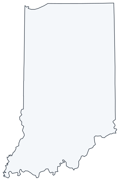
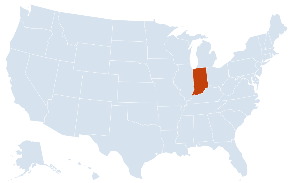
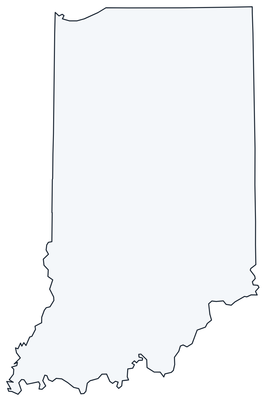
A blank outline of Indiana for coloring, labeling or school projects, and a locator map showing the state within the US. Free for personal and classroom use.
For all 92 counties with county seats and 2020 population, and a printable labeled map, see the Indiana county map.
Frequently asked questions
What is the capital of Indiana?
Indianapolis, which is also the largest city. It became the capital in 1825, replacing Corydon. See all capitals on the US map with capitals.
How many counties are in Indiana?
There are 92 counties. Marion County (Indianapolis) is the most populous, and Allen County (Fort Wayne) is the largest by land area.
What time zone is Indiana in?
Most of Indiana uses Eastern Time. Twelve counties use Central Time: six in the northwest near Chicago and six in the southwest around Evansville. The whole state has observed daylight saving time since 2006. See the US time zones map.
Why are people from Indiana called Hoosiers?
“Hoosier” has been the nickname for Indiana residents since at least the 1830s, but nobody knows for certain where the word came from.
Neighboring and nearby states
Illinois · Kentucky · Michigan · Ohio · Also in the East North Central division: Illinois, Michigan, Ohio, Wisconsin
Back to the US state map or browse all 50 state maps.
Sources: U.S. Census Bureau (2020 Census, boundaries), USGS. Last reviewed October 2026.