Wisconsin State Map
Wisconsin is an upper Midwest state between Lake Superior to the north, Lake Michigan to the east and the Mississippi River to the west, bordering Michigan, Illinois, Iowa and Minnesota. Its capital is Madison and its largest city is Milwaukee.
The interactive map shows Wisconsin’s largest cities (capital in red) on an OpenStreetMap base map. Turn on Show counties to see all county lines and hover for names.
Wisconsin quick facts
| Capital | Madison |
|---|---|
| Largest city | Milwaukee |
| Population (2020) | 5,893,718 (20th of 50) |
| Total area | 65,496 sq mi (23rd of 50) |
| Statehood | May 29, 1848 (30th state) |
| Counties | 72 counties · County map |
| Abbreviation | WI (AP style: Wis.) |
| Region | Midwest (East North Central division) |
| Time zone | Central Time (CT) |
| Highest point | Timms Hill, about 1,951 ft |
| Borders | Lake Superior and Michigan’s Upper Peninsula (north and northeast), Lake Michigan (east), Illinois (south), Iowa (southwest), Minnesota (west) |
Largest cities in Wisconsin
| Rank | City | Population (2020) |
|---|---|---|
| 1 | Milwaukee | 577,222 |
| 2 | Madison (capital) | 269,840 |
| 3 | Green Bay | 107,395 |
| 4 | Kenosha | 99,986 |
| 5 | Racine | 77,816 |
| 6 | Appleton | 75,644 |
| 7 | Waukesha | 71,158 |
| 8 | Eau Claire | 69,421 |
| 9 | Oshkosh | 66,816 |
| 10 | Janesville | 65,615 |
Most of the largest cities lie in the southeast, along Lake Michigan or in the Fox River Valley between Lake Winnebago and Green Bay. Milwaukee County had 939,489 residents in 2020, the most of any county.
Geography of Wisconsin
Ice Age glaciers shaped almost all of Wisconsin, leaving rolling hills, moraines and thousands of lakes. Geologists divide the state into five landform regions.
Lake Superior Lowland
A narrow plain along Lake Superior around Superior and Ashland. Offshore, the Apostle Islands National Lakeshore protects 21 islands and their sea caves.
Northern Highland
The forested, lake-dotted north around Rhinelander, Eagle River and Minocqua, with much of the Chequamegon–Nicolet National Forest. Timms Hill, the state’s highest point, rises near Ogema in Price County.
Central Plain
A crescent of flat, sandy land across the middle of the state, crossed by the Wisconsin River. It includes Stevens Point, Wisconsin Rapids and the sandstone gorges of the Wisconsin Dells.
Western Upland and the Driftless Area
The southwest escaped the last glaciers, so it has steep ridges, deep valleys and almost no natural lakes. Bluffs line the Mississippi River at La Crosse and Prairie du Chien.
Eastern Ridges and Lowlands
The most populated region, from Kenosha and Racine through Milwaukee to Green Bay. It includes Lake Winnebago, the largest lake entirely within the state, and the Door Peninsula, which separates Green Bay from Lake Michigan. The Niagara Escarpment, a limestone ridge, runs from the Door Peninsula south along the east side of Lake Winnebago.
Rivers, lakes and borders
The Mississippi River and its tributary the St. Croix River form most of the western border with Minnesota and Iowa. The Menominee and Montreal rivers mark much of the land border with Michigan’s Upper Peninsula. The southern border with Illinois is a straight surveyed line. The Wisconsin River flows south from the Northern Highland, then turns west to join the Mississippi near Prairie du Chien. The Fox River drains Lake Winnebago north to Green Bay.
Wisconsin also shares water borders with Michigan in Lake Michigan and with Minnesota in Lake Superior.
Two national trails and waterways follow these landforms. The Ice Age National Scenic Trail traces the edge of the last glacier across the state, from Interstate State Park on the St. Croix River to Potawatomi State Park on the Door Peninsula. The St. Croix National Scenic Riverway protects the St. Croix, which forms part of the Minnesota border, and its tributary the Namekagon.
Major highways
- I-94: from the Illinois line near Kenosha north to Milwaukee, west to Madison, then northwest through Eau Claire to Hudson and the Twin Cities.
- I-90: from the Illinois line at Beloit through Janesville, Madison and Wisconsin Dells to La Crosse; it shares the road with I-94 between Madison and Tomah.
- I-39: north from Illinois with I-90 to Madison and Portage, then alone to Stevens Point and Wausau.
- I-41: from Milwaukee north through Fond du Lac, Oshkosh and Appleton to Green Bay.
- I-43: from Beloit to Milwaukee, then along Lake Michigan through Sheboygan and Manitowoc to Green Bay.
- US 53 and US 51: north from Eau Claire to Superior, and north from Wausau to Hurley.
- US 2: across the far north from Superior and Ashland to Hurley and into Michigan.
Printable Wisconsin maps
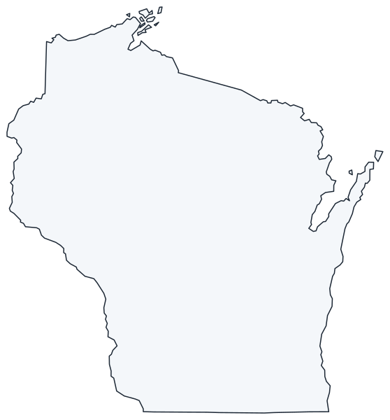
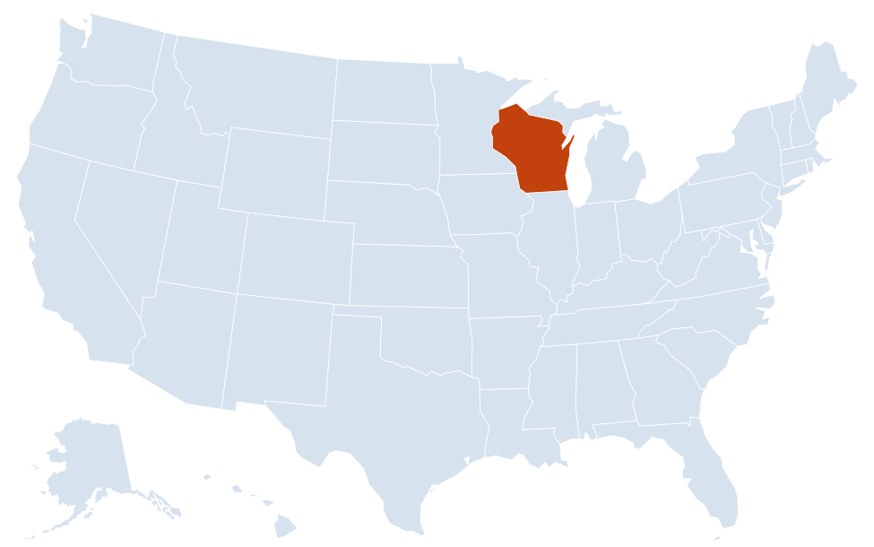
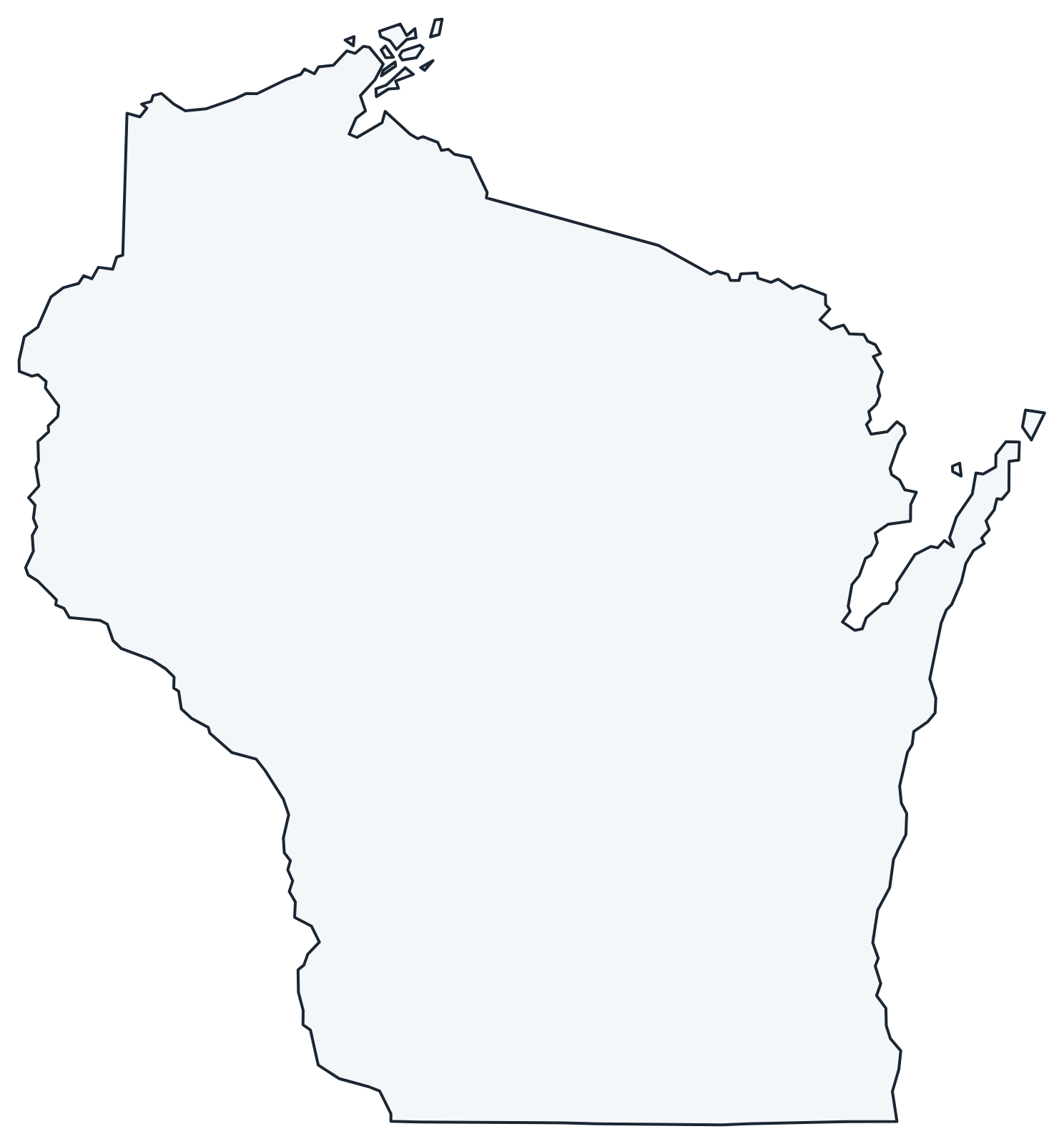
A blank outline of Wisconsin for coloring, labeling or school projects, and a locator map showing the state within the US. Free for personal and classroom use.
For all 72 counties with county seats and 2020 population, and a printable labeled map, see the Wisconsin county map.
Frequently asked questions
What is the capital of Wisconsin?
Madison, on an isthmus between Lake Mendota and Lake Monona. Milwaukee is the largest city, but not the capital.
How many counties are in Wisconsin?
There are 72 counties. Milwaukee County is the most populous, and Marathon County (Wausau) is the largest by land area.
What time zone is Wisconsin in?
The whole state uses Central Time and observes daylight saving time.
Which Great Lakes border Wisconsin?
Two: Lake Superior to the north and Lake Michigan to the east. Milwaukee, Racine, Kenosha, Sheboygan and Green Bay are all on Lake Michigan or its Green Bay arm.
Neighboring and nearby states
Michigan · Illinois · Iowa · Minnesota · Also in the East North Central division: Illinois, Indiana, Michigan, Ohio
Back to the US state map or browse all 50 state maps.
Sources: U.S. Census Bureau (2020 Census, boundaries), USGS, National Park Service. Last reviewed October 2026.