Missouri State Map
Missouri is in the middle of the country, where the Missouri River meets the Mississippi just north of St. Louis, and it borders eight states, tied with Tennessee for the most. This Missouri state map shows its 114 counties, the independent city of St. Louis, major cities and highways. The capital is Jefferson City and the largest city is Kansas City.
The interactive map shows Missouri’s largest cities (capital in red) on an OpenStreetMap base map. Turn on Show counties to see all county lines and hover for names.
Missouri quick facts
| Capital | Jefferson City |
|---|---|
| Largest city | Kansas City |
| Population (2020) | 6,154,913 (19th of 50) |
| Total area | 69,707 sq mi (21st of 50) |
| Statehood | August 10, 1821 (24th state) |
| Counties | 114 counties plus the independent city of St. Louis · County map |
| Abbreviation | MO (AP style: Mo.) |
| Region | Midwest (West North Central division) |
| Time zone | Central Time (CT) |
| Highest point | Taum Sauk Mountain, 1,772 ft |
| Borders | Iowa (north), Illinois, Kentucky and Tennessee (east, across the Mississippi River), Arkansas (south), Oklahoma, Kansas and Nebraska (west) |
Largest cities in Missouri
| Rank | City | Population (2020) |
|---|---|---|
| 1 | Kansas City | 508,090 |
| 2 | St. Louis | 301,578 |
| 3 | Springfield | 169,176 |
| 4 | Columbia | 126,254 |
| 5 | Independence | 123,011 |
| 6 | Lee’s Summit | 101,108 |
| 7 | O’Fallon | 91,316 |
| 8 | St. Joseph | 72,473 |
| 9 | St. Charles | 70,493 |
| 10 | Blue Springs | 58,603 |
Jefferson City, the capital, had 43,228 residents in 2020. Independence, Lee’s Summit and Blue Springs are in the Kansas City area; O’Fallon and St. Charles are St. Louis suburbs in St. Charles County.
Regions of Missouri
The Missouri River divides the state roughly in half: rolling glaciated plains lie to the north, and the Ozark highlands cover most of the south.
Kansas City and St. Louis
The two largest metro areas sit at opposite ends of the state, about 250 miles apart by I-70, and both spill across state lines. Kansas City, on the Kansas border, spreads over parts of Jackson, Clay, Platte and Cass counties. St. Louis, on the Mississippi across from Illinois, is an independent city that belongs to no county; it is home to the Gateway Arch, part of Gateway Arch National Park.
Northern plains
Farmland north of the Missouri River, with towns such as St. Joseph, Kirksville and Hannibal, Mark Twain’s boyhood home on the Mississippi.
Missouri River valley
Jefferson City and the river towns between Kansas City and St. Louis, including Hermann in the Missouri Rhineland wine country. Columbia, home of the University of Missouri, lies just north of the river.
The Ozarks
- Ozark Plateau: forested hills, springs and caves across southern Missouri, centered on Springfield.
- Lakes: Lake of the Ozarks in the center of the state, and Table Rock Lake near the resort town of Branson.
- Ozark National Scenic Riverways: the Current and Jacks Fork rivers, protected by the National Park Service.
- St. Francois Mountains: ancient volcanic knobs in the eastern Ozarks, including Taum Sauk Mountain (1,772 ft), the state’s highest point, in Iron County.
Western prairie
The Osage Plains, an area of prairie and farmland along the Kansas border between the Kansas City area and Joplin, with towns such as Butler and Nevada. Joplin, in the southwest corner, is close to both Kansas and Oklahoma.
The Bootheel
The Bootheel is the southeastern corner that juts south between Arkansas and the Mississippi River. Its flat lowlands around Sikeston, Kennett and Caruthersville grow cotton and rice. The lowest point in the state, 230 ft, is on the St. Francis River in Dunklin County. Cape Girardeau sits on the Mississippi just north of this region.
Major highways
- I-70: across the middle of the state from Kansas City through Columbia to St. Louis.
- I-44: St. Louis to Rolla, Springfield and Joplin, then into Oklahoma; it follows the route of historic Route 66.
- I-55: St. Louis south through Cape Girardeau and Sikeston to the Arkansas line in the Bootheel.
- I-35 and I-29: north from Kansas City to Iowa; I-29 runs through St. Joseph along the Missouri River.
- I-49: Kansas City south to Joplin and Arkansas.
- I-64 and I-57: St. Louis to Wentzville, and Sikeston to Illinois.
- I-270, I-255 and I-435: beltways around St. Louis and Kansas City.
- US 50, US 54, US 63 and US 65: Kansas City–Sedalia–Jefferson City; Jefferson City to the Lake of the Ozarks; Kirksville–Columbia–Rolla; and Springfield to Branson.
Printable Missouri maps
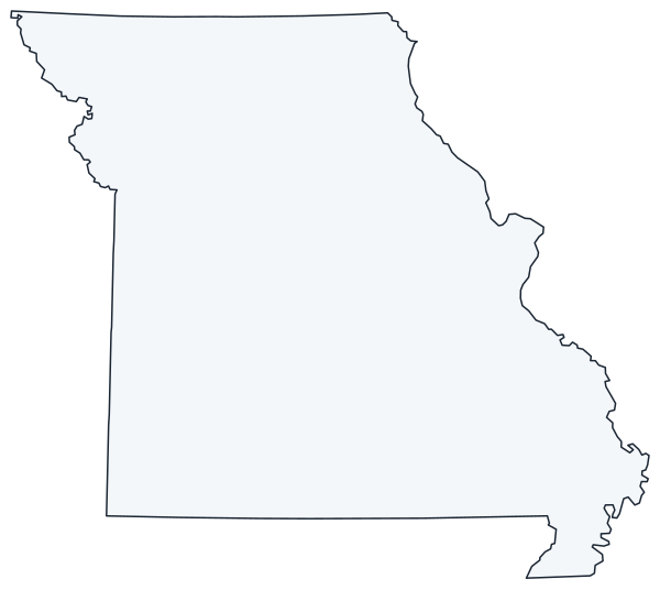
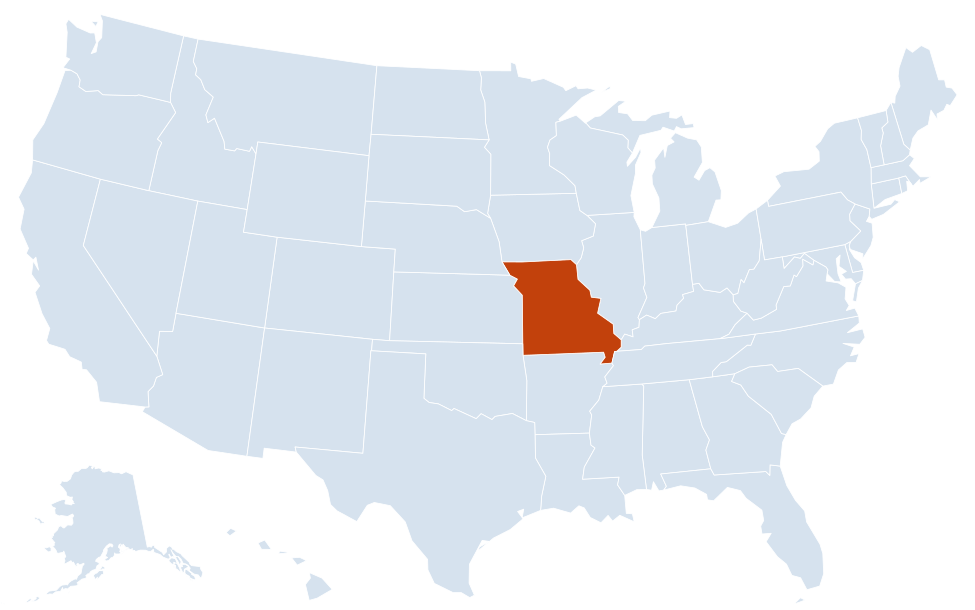
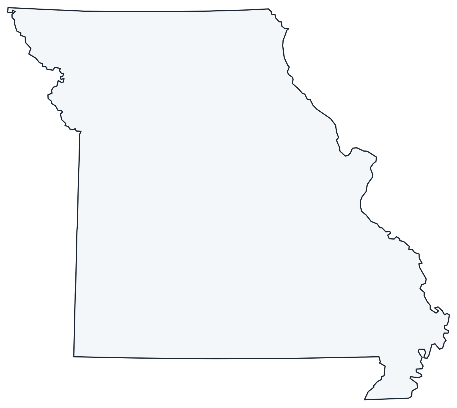
A blank outline of Missouri for coloring, labeling or school projects, and a locator map showing the state within the US. Free for personal and classroom use.
For all 114 counties and the independent city of St. Louis with county seats and 2020 population, and a printable labeled map, see the Missouri county map.
Frequently asked questions
What is the capital of Missouri?
Jefferson City, on the Missouri River in the center of the state. Kansas City is the largest city and St. Louis the second largest.
How many counties are in Missouri?
There are 114 counties plus the independent city of St. Louis, which is counted as a county equivalent. St. Louis County is the most populous; Texas County, in the Ozarks, is the largest by land area.
What time zone is Missouri in?
All of Missouri uses Central Time and observes daylight saving time.
Is Kansas City in Missouri or Kansas?
Both. Kansas City, Missouri, is the larger city and the largest in Missouri. Kansas City, Kansas, is a separate city across the state line in the same metro area.
Neighboring and nearby states
Arkansas · Illinois · Iowa · Kansas · Kentucky · Nebraska · Oklahoma · Tennessee · Also in the West North Central division: Iowa, Kansas, Minnesota, Nebraska, North Dakota, South Dakota
Back to the US state map or browse all 50 state maps.
Sources: U.S. Census Bureau (2020 Census, boundaries), USGS. Last reviewed October 2026.