South Dakota State Map
South Dakota is a Great Plains state in the upper Midwest, split by the Missouri River into East River farm country and West River ranchland, Badlands and the Black Hills. This South Dakota state map shows its cities and 66 counties. The capital is Pierre and the largest city is Sioux Falls.
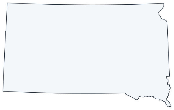
The interactive map shows South Dakota’s largest cities (capital in red) on an OpenStreetMap base map. Turn on Show counties to see all county lines and hover for names.
South Dakota quick facts
| Capital | Pierre |
|---|---|
| Largest city | Sioux Falls |
| Population (2020) | 886,667 (46th of 50) |
| Total area | 77,116 sq mi (17th of 50) |
| Statehood | November 2, 1889 (40th state) |
| Counties | 66 counties · County map |
| Abbreviation | SD (AP style: S.D.) |
| Region | Midwest (West North Central division) |
| Time zone | Central Time (CT); Mountain Time (MT) in the west, roughly west of the Missouri River |
| Highest point | Black Elk Peak, about 7,242 ft |
| Borders | North Dakota (north), Minnesota (east), Iowa (southeast), Nebraska (south), Wyoming (west), Montana (northwest) |
Largest cities in South Dakota
| Rank | City | Population (2020) |
|---|---|---|
| 1 | Sioux Falls | 192,517 |
| 2 | Rapid City | 74,703 |
| 3 | Aberdeen | 28,495 |
| 4 | Brookings | 23,377 |
| 5 | Watertown | 22,655 |
| 6 | Mitchell | 15,660 |
| 7 | Yankton | 15,411 |
| 8 | Huron | 14,263 |
| 9 | Pierre (capital) | 14,091 |
Geography of South Dakota
The Missouri River flows south through the middle of the state and divides it into two halves that South Dakotans call East River and West River. The divide shows up in landscape, farming, population and time zones.
East River
Glaciers flattened the east into fertile prairie dotted with lakes and potholes. Corn and soybeans grow here, and most of the population lives here: Sioux Falls, on the falls of the Big Sioux River, plus Brookings, Watertown, Aberdeen, Huron and Mitchell. The James River runs north to south through the lowland between the Prairie Coteau in the east and the Missouri.
The Missouri River
Four large dams turn the river into a chain of reservoirs: Lake Oahe above Oahe Dam near Pierre, Lake Sharpe, Lake Francis Case and Lewis and Clark Lake at Yankton. Pierre sits on the east bank across from Fort Pierre.
West River
West of the river, the land rises into dry, open grassland used for cattle ranching. Large parts belong to tribal nations, including the Pine Ridge, Rosebud and Cheyenne River reservations. Badlands National Park protects eroded buttes and fossil beds near the town of Wall.
The Black Hills
In the far west, the pine-covered Black Hills rise above the plains. They contain Black Elk Peak, the highest point; Mount Rushmore National Memorial near Keystone; Crazy Horse Memorial; Custer State Park; Wind Cave National Park; and Jewel Cave National Monument. Rapid City, Spearfish, Sturgis and Hot Springs ring the hills.
Geographic center of the US
The geographic center of the 50 states lies in Butte County, north of Belle Fourche.
Statehood and counties
South Dakota and North Dakota were admitted on the same day, November 2, 1889; South Dakota is counted as the 40th state. Oglala Lakota County, on the Pine Ridge Reservation, was named Shannon County until 2015.
Major highways
- I-90: across the whole state from Minnesota near Sioux Falls through Mitchell, Chamberlain, Wall, Rapid City, Sturgis and Spearfish to Wyoming.
- I-29: from Iowa at North Sioux City through Sioux Falls, Brookings and Watertown to North Dakota.
- I-229 and I-190: a loop around Sioux Falls and a short spur into downtown Rapid City.
- US 14: an east–west route from Brookings through Huron and Pierre to Wall.
- US 83 and US 281: north–south routes through Pierre and through Aberdeen.
- US 12 and US 212: northern east–west routes through Aberdeen and Mobridge, and Watertown to Belle Fourche.
- Airports: Sioux Falls Regional Airport and Rapid City Regional Airport handle most commercial flights.
- US 385 and US 16: the main roads through the Black Hills to Mount Rushmore, Custer and Hot Springs.
Printable South Dakota maps
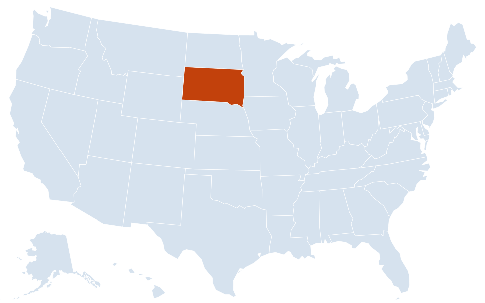
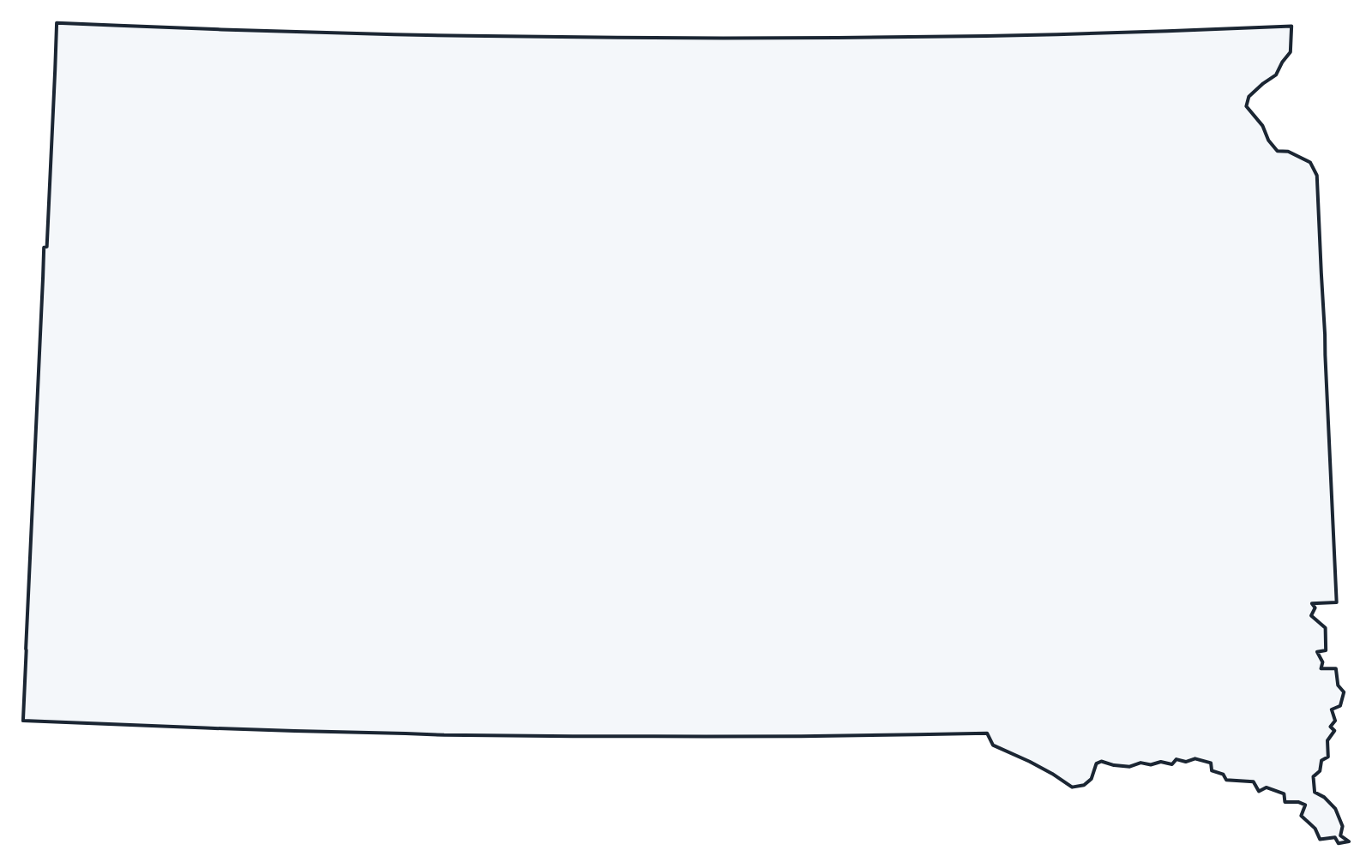
A blank outline of South Dakota for coloring, labeling or school projects, and a locator map showing the state within the US. Free for personal and classroom use.
For all 66 counties with county seats and 2020 population, and a printable labeled map, see the South Dakota county map.
Frequently asked questions
What is the capital of South Dakota?
Pierre, on the Missouri River in the center of the state. Sioux Falls, in the southeast, is the largest city.
How many counties are in South Dakota?
There are 66 counties. Minnehaha County, home to most of Sioux Falls, is the most populous, and Meade County is the largest by area.
What time zones are in South Dakota?
Eastern and central South Dakota, including Sioux Falls and Pierre, use Central Time. The western part, including Rapid City and the Black Hills, uses Mountain Time. The line roughly follows the Missouri River, though several counties west of the river use Central Time.
Where is Mount Rushmore on the map?
In the Black Hills of western South Dakota, near Keystone and southwest of Rapid City. From Rapid City, take US 16 toward Keystone, then SD 244.
Neighboring and nearby states
Iowa · Minnesota · Montana · Nebraska · North Dakota · Wyoming · Also in the West North Central division: Kansas, Missouri
Back to the US state map or browse all 50 state maps.
Sources: U.S. Census Bureau (2020 Census, boundaries), USGS. Last reviewed October 2026.