New Jersey State Map
New Jersey sits on the Atlantic coast between New York City and Philadelphia, with the Delaware River on its western edge and the Hudson River across from Manhattan. Use this New Jersey state map to find its capital, Trenton, its largest city, Newark, and all 21 counties.
The interactive map shows New Jersey’s largest cities (capital in red) on an OpenStreetMap base map. Turn on Show counties to see all county lines and hover for names.
New Jersey quick facts
| Capital | Trenton |
|---|---|
| Largest city | Newark |
| Population (2020) | 9,288,994 (11th of 50) |
| Total area | 8,723 sq mi (47th of 50) |
| Statehood | December 18, 1787 (3rd state) |
| Counties | 21 counties · County map |
| Abbreviation | NJ (AP style: N.J.) |
| Region | Northeast (Middle Atlantic division) |
| Time zone | Eastern Time (ET) |
| Highest point | High Point, 1,803 ft (Kittatinny Mountains) |
| Borders | New York (north and east); Pennsylvania (west, across the Delaware River); Delaware (southwest, across the Delaware River and Bay); Atlantic Ocean (east) |
Where is New Jersey?
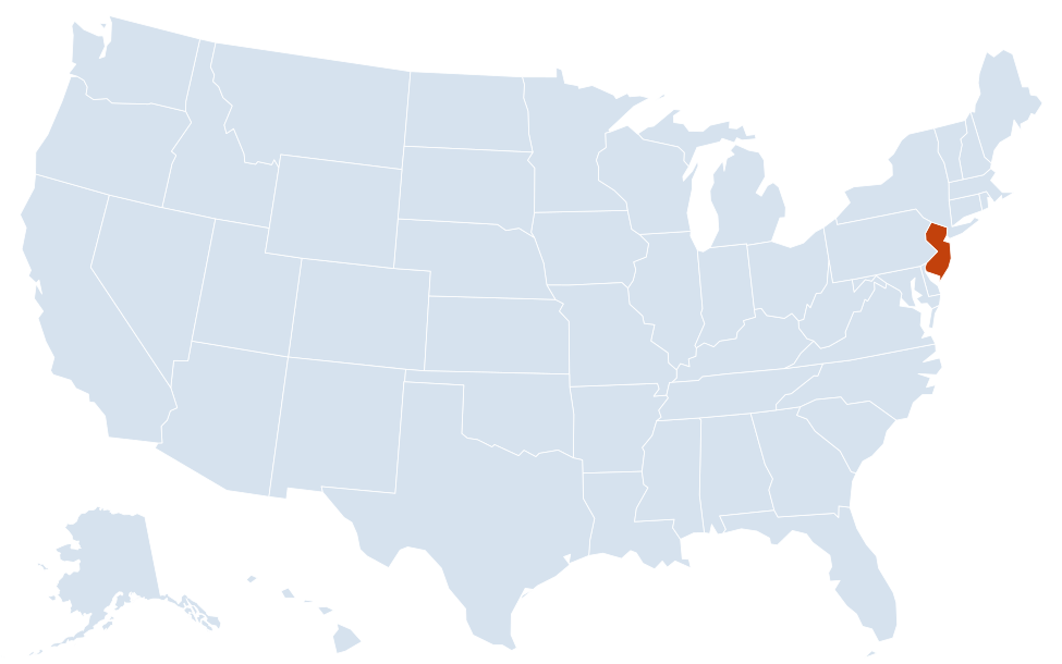
New Jersey is in the Northeast region of the United States. Neighboring states: New York, Pennsylvania, Delaware.
Largest cities in New Jersey
| Rank | City | Population (2020) |
|---|---|---|
| 1 | Newark | 311,549 |
| 2 | Jersey City | 292,449 |
| 3 | Paterson | 159,732 |
| 4 | Elizabeth | 137,298 |
| 5 | Trenton (capital) | 90,871 |
| 6 | Clifton | 90,296 |
| 7 | Camden | 71,791 |
| 8 | Bayonne | 71,686 |
The table lists incorporated cities. Several New Jersey townships have more residents than Trenton, including Lakewood (135,158), Edison (107,588) and Woodbridge (103,639).
Regions of New Jersey
New Jersey crosses four physical regions from northwest to southeast: the Ridge and Valley, the Highlands, the Piedmont and the Atlantic Coastal Plain. The Coastal Plain covers most of the southern half of the state. People usually divide the state more simply, as shown below.
North Jersey
- Gateway and the New York suburbs: Newark, Jersey City, Paterson, Elizabeth and Bayonne, plus the dense suburbs of Bergen, Essex, Hudson, Passaic and Union counties. Bergen is the most populous county.
- Skylands: the hilly northwest, with lakes, farms and forests in Sussex, Warren, Morris and Hunterdon counties.
- Kittatinny Ridge: the long ridge along the Pennsylvania line that holds High Point, the state’s highest point, and the Delaware Water Gap, where the Delaware River cuts through the ridge.
Central Jersey
The corridor between New York and Philadelphia: Trenton on the Delaware River, Princeton, New Brunswick and the Raritan River, and the large townships of Middlesex and Monmouth counties.
South Jersey
- Philadelphia suburbs: Camden, Cherry Hill and the Delaware River towns of Camden, Burlington and Gloucester counties. Burlington is the largest county by land area.
- Pine Barrens: a sandy, forested area of about 1.1 million acres protected as the Pinelands National Reserve.
- Delaware Bay shore: farmland and marshes around Vineland, Millville and Salem.
Jersey Shore
A chain of beaches and barrier islands from Sandy Hook in the north to Cape May at the southern tip, including Asbury Park, Long Beach Island and Atlantic City. Barnegat Bay separates much of the shore from the mainland around Toms River.
Rivers and borders
The Delaware River forms the entire western border with Pennsylvania and, with Delaware Bay, the boundary with Delaware. The Hudson River separates northeastern New Jersey from Manhattan, and the Arthur Kill and Kill Van Kull separate it from Staten Island. The land border with New York runs northwest from the Hudson to the Delaware River near Port Jervis. The Passaic River drops over the Great Falls in Paterson and reaches Newark Bay at Newark; the Raritan River flows past New Brunswick into Raritan Bay at Perth Amboy.
New Jersey county map
New Jersey has 21 counties, fewer than its Middle Atlantic neighbors, New York (62) and Pennsylvania (67). Bergen County is the most populous, with 955,732 people in 2020, and Salem County, on Delaware Bay, is the least populous, with 64,837. Hudson County, across the river from Manhattan, is the smallest by land area, about 46 sq mi, and the most densely populated. Burlington County, which stretches from the Delaware River into the Pine Barrens, is the largest by land area. Sussex County is the northernmost county and Cape May County the southernmost.
Major highways
- New Jersey Turnpike (I-95): from the Delaware Memorial Bridge in the south to the George Washington Bridge in the north, past Newark Liberty International Airport.
- Garden State Parkway: north–south along the shore from Cape May to the New York line at Montvale.
- I-80: east from the Delaware Water Gap through Morris and Passaic counties to the George Washington Bridge.
- I-78: from Phillipsburg on the Pennsylvania line east through Newark to the Holland Tunnel.
- I-287: a semicircle around the New York suburbs from Edison through Morristown to the New York line near Mahwah.
- I-295 and I-195: along the Delaware River through Camden County, and across the state from Trenton toward the shore.
- Atlantic City Expressway: from the Philadelphia suburbs southeast to Atlantic City.
Printable New Jersey maps
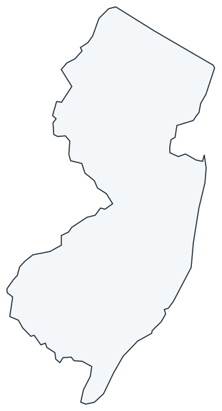
A blank outline of New Jersey for coloring, labeling or school projects, and a locator map showing the state within the US. Free for personal and classroom use.
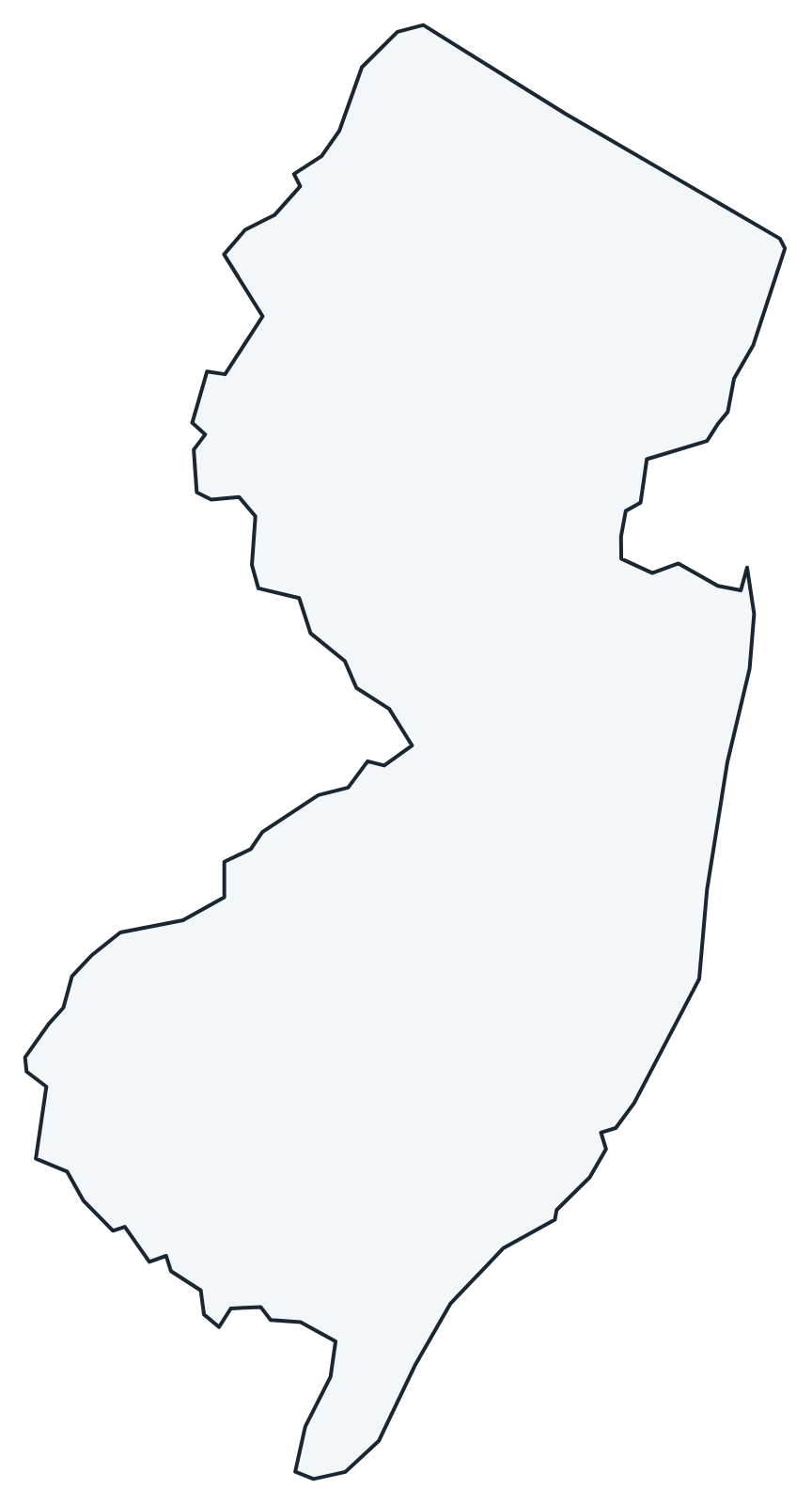
For all 21 counties with county seats and 2020 population, and a printable labeled map, see the New Jersey county map.
Frequently asked questions
What is the capital of New Jersey?
Trenton, on the Delaware River across from Pennsylvania. Newark is the largest city, but not the capital.
How many counties are in New Jersey?
There are 21 counties. Bergen County is the most populous, with 955,732 people in 2020; Burlington County is the largest by land area.
What time zone is New Jersey in?
The whole state uses Eastern Time and observes daylight saving time.
Is New Jersey the most densely populated state?
Yes. New Jersey ranks 11th in population but 47th in area, which makes it the most densely populated of the 50 states.
Neighboring and nearby states
New York · Pennsylvania · Delaware · Also in the Middle Atlantic division: New York, Pennsylvania
Back to the US state map or browse all 50 state maps.
Sources: U.S. Census Bureau (2020 Census, boundaries), USGS. Last reviewed October 2026.