Oregon State Map
This Oregon state map shows a Pacific Northwest state between Washington to the north and California to the south, with the Pacific Ocean on the west. The capital is Salem; the largest city is Portland, on the Columbia River.
The interactive map shows Oregon’s largest cities (capital in red) on an OpenStreetMap base map. Turn on Show counties to see all county lines and hover for names.
Oregon quick facts
| Capital | Salem |
|---|---|
| Largest city | Portland |
| Population (2020) | 4,237,256 (27th of 50) |
| Total area | 98,379 sq mi (9th of 50) |
| Statehood | February 14, 1859 (33rd state) |
| Counties | 36 counties · County map |
| Abbreviation | OR (AP style: Ore.) |
| Region | West (Pacific division) |
| Time zone | Pacific Time (PT); Mountain Time (MT) in most of Malheur County |
| Highest point | Mount Hood, 11,239 ft |
| Borders | Washington (north), Idaho (east), Nevada and California (south), Pacific Ocean (west) |
Where is Oregon?
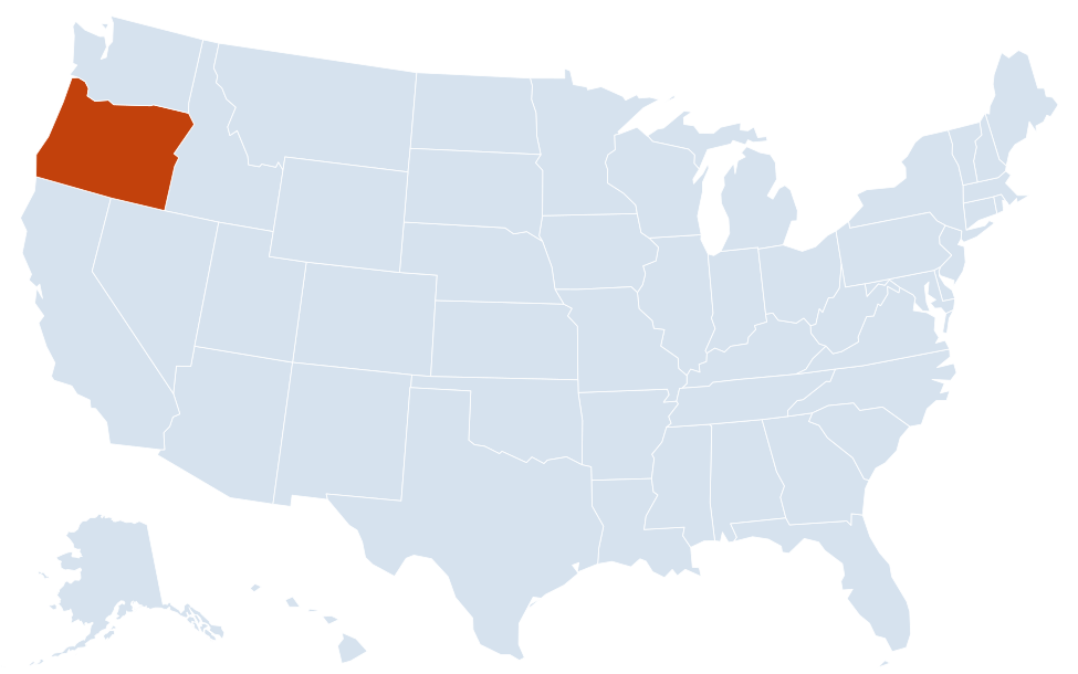
Oregon is in the West region of the United States. Neighboring states: California, Idaho, Nevada, Washington.
Largest cities in Oregon
| Rank | City | Population (2020) |
|---|---|---|
| 1 | Portland | 652,503 |
| 2 | Eugene | 176,654 |
| 3 | Salem (capital) | 175,535 |
| 4 | Gresham | 114,247 |
| 5 | Hillsboro | 106,447 |
| 6 | Bend | 99,178 |
| 7 | Beaverton | 97,494 |
| 8 | Medford | 85,824 |
| 9 | Springfield | 61,851 |
| 10 | Corvallis | 59,922 |
Eight of the ten largest cities are in the Willamette Valley and the Portland area. Gresham, Hillsboro and Beaverton are Portland suburbs; Springfield adjoins Eugene. Bend is the largest city east of the Cascades.
Geography of Oregon
The Cascade Range divides Oregon into a wet, green west and a dry east. Most of the state’s land lies east of the mountains, but most Oregonians live west of them.
Oregon Coast and Coast Range
By state law the ocean beaches are open to the public along the whole coast, with headlands, sea stacks and fishing towns from Astoria at the mouth of the Columbia River to Brookings near the California line. Behind the beaches, the forested Coast Range separates the coast from the Willamette Valley. The Oregon Dunes stretch along the central coast near Florence and Coos Bay.
Willamette Valley
A broad, fertile valley about 150 miles long between the Coast Range and the Cascades, running from Eugene north through Corvallis, Albany and Salem to Portland. It holds most of the state’s people, farms and vineyards.
Cascade Range
A chain of volcanoes runs north to south: Mount Hood, Mount Jefferson, the Three Sisters and Mount McLoughlin. Crater Lake National Park, Oregon’s only national park, protects a lake formed in the collapsed caldera of Mount Mazama; at 1,943 ft it is the deepest lake in the United States.
Columbia River Gorge
The Columbia River forms most of the border with Washington. East of Portland it cuts through the Cascades in a canyon up to 4,000 ft deep, protected as the Columbia River Gorge National Scenic Area, with Multnomah Falls on the Oregon side.
Southern Oregon
The Klamath Mountains and the Rogue and Umpqua river valleys surround Medford, Grants Pass, Roseburg and Ashland. East of the Cascades, Klamath Falls sits near Upper Klamath Lake.
Central and Eastern Oregon
- Central Oregon: high desert and pine forest around Bend, Redmond and Madras, with Newberry National Volcanic Monument south of Bend.
- Blue and Wallowa mountains: in the northeast near Pendleton, La Grande and Baker City; Hells Canyon on the Snake River forms part of the Idaho border.
- Basin and Range: the sparsely populated southeast, with Steens Mountain, the Alvord Desert and Malheur National Wildlife Refuge near Burns. Harney County, the largest county by area, is here.
- John Day Fossil Beds National Monument: colorful fossil-bearing hills in the John Day River basin.
Major highways
- I-5: the main north–south route, from California through Ashland, Medford, Grants Pass, Roseburg, Eugene, Salem and Portland to Vancouver, Washington.
- I-84: east from Portland through the Columbia River Gorge, The Dalles, Pendleton, La Grande, Baker City and Ontario into Idaho toward Boise.
- I-205 and I-405: an eastern bypass and a downtown loop in the Portland area; I-105 serves Eugene.
- US 101: the Oregon Coast Highway, the full length of the coast from Astoria to Brookings.
- US 97: the main route east of the Cascades, from California through Klamath Falls, Bend and Madras to the Columbia River.
- US 26 and US 20: cross-state routes; US 26 links Portland and Mount Hood with central Oregon, and US 20 runs from Newport through Corvallis and Bend to Burns and Ontario.
- US 395: north–south through the eastern part of the state via Pendleton, John Day and Burns.
Printable Oregon maps
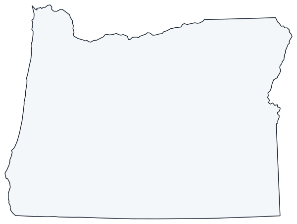
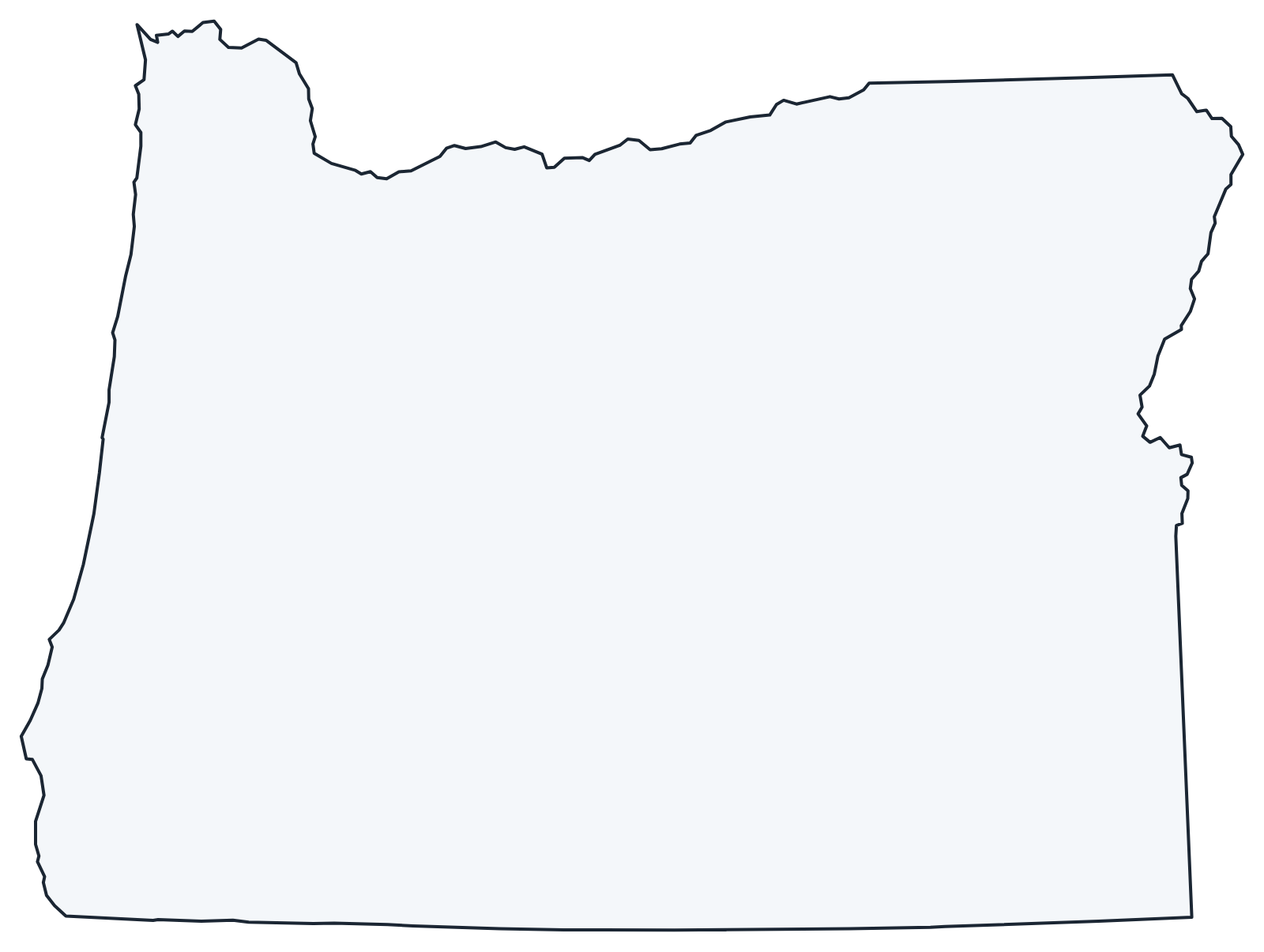
A blank outline of Oregon for coloring, labeling or school projects, and a locator map showing the state within the US. Free for personal and classroom use.
For all 36 counties with county seats and 2020 population, and a printable labeled map, see the Oregon county map.
Frequently asked questions
What is the capital of Oregon?
Salem, in the Willamette Valley about 45 miles south of Portland. Portland is the largest city, but not the capital.
How many counties are in Oregon?
There are 36 counties. Multnomah County, which includes most of Portland, is the most populous; Harney County is the largest by area.
What time zone is Oregon in?
Most of Oregon uses Pacific Time. Most of Malheur County, along the Idaho border around Ontario, uses Mountain Time. Both observe daylight saving time.
Where is Crater Lake?
In the southern Cascades, about 60 miles north of Klamath Falls and east of Medford. Its rim roads are usually closed by snow for much of the year.
Neighboring and nearby states
California · Idaho · Nevada · Washington · Also in the Pacific division: Alaska, California, Hawaii, Washington
Back to the US state map or browse all 50 state maps.
Sources: U.S. Census Bureau (2020 Census, boundaries), USGS, National Park Service. Last reviewed October 2026.