Michigan State Map
Michigan is the only state made of two separate peninsulas, the Lower Peninsula and the Upper Peninsula, and it touches four of the five Great Lakes. This Michigan state map shows its 83 counties, largest cities and main highways. The capital is Lansing and the largest city is Detroit.
The interactive map shows Michigan’s largest cities (capital in red) on an OpenStreetMap base map. Turn on Show counties to see all county lines and hover for names.
Michigan quick facts
| Capital | Lansing |
|---|---|
| Largest city | Detroit |
| Population (2020) | 10,077,331 (10th of 50) |
| Total area | 96,714 sq mi (11th of 50) |
| Statehood | January 26, 1837 (26th state) |
| Counties | 83 counties · County map |
| Abbreviation | MI (AP style: Mich.) |
| Region | Midwest (East North Central division) |
| Time zone | Eastern Time (ET); Central Time (CT) in Gogebic, Iron, Dickinson and Menominee counties |
| Highest point | Mount Arvon, 1,979 ft |
| Borders | Ohio and Indiana (south), Wisconsin (southwest of the Upper Peninsula); water borders with Illinois and Minnesota; Ontario, Canada (east and north) |
Largest cities in Michigan
| Rank | City | Population (2020) |
|---|---|---|
| 1 | Detroit | 639,111 |
| 2 | Grand Rapids | 198,917 |
| 3 | Warren | 139,387 |
| 4 | Sterling Heights | 134,346 |
| 5 | Ann Arbor | 123,851 |
| 6 | Lansing (capital) | 112,644 |
| 7 | Dearborn | 109,976 |
| 8 | Livonia | 95,535 |
| 9 | Troy | 87,294 |
| 10 | Westland | 85,420 |
Warren, Sterling Heights, Dearborn, Livonia, Troy and Westland are all suburbs in the Detroit metro area. Flint (81,252) ranks 12th.
Geography of Michigan
Lake Michigan separates the two halves of the state. They are joined by the Mackinac Bridge, about five miles long, which carries I-75 across the Straits of Mackinac between Mackinaw City and St. Ignace.
Lower Peninsula
The mitten-shaped Lower Peninsula holds the great majority of Michiganders and every city in the top-10 table above.
- Southeast Michigan: Detroit and its suburbs, Ann Arbor and Flint. The Detroit River separates Detroit from Windsor, Ontario.
- West Michigan: Grand Rapids, Kalamazoo and the Lake Michigan shore, lined with sand dunes, including Sleeping Bear Dunes National Lakeshore near Traverse City.
- Mid-Michigan and the Thumb: Lansing, Saginaw and the farmland of the Thumb between Saginaw Bay and Lake Huron.
- Northern Michigan: forests, inland lakes and resort towns such as Traverse City, Petoskey and Alpena.
Upper Peninsula
The Upper Peninsula (the “U.P.”) stretches west from Sault Ste. Marie to Ironwood on the Wisconsin line. It is mostly forest and has few large towns; Marquette is the biggest. The highest point, Mount Arvon (1,979 ft), is in Baraga County. Other landmarks include Pictured Rocks National Lakeshore on Lake Superior, the Porcupine Mountains in the west and the copper-mining towns of the Keweenaw Peninsula. The four counties along the Wisconsin border use Central Time.
Great Lakes, islands and rivers
- Four Great Lakes: Superior, Michigan, Huron and Erie touch the state; only Lake Ontario does not. Michigan has the longest freshwater shoreline of any state.
- Isle Royale National Park: a roadless island in Lake Superior, reached by ferry or seaplane, much closer to Minnesota and Ontario than to mainland Michigan.
- Mackinac Island: a small island in the Straits of Mackinac where cars are not allowed.
- Connecting rivers: the St. Marys River (with the Soo Locks at Sault Ste. Marie), the St. Clair River at Port Huron and the Detroit River all form part of the border with Canada.
- Grand River: Michigan’s longest river, flowing through Lansing and Grand Rapids to Lake Michigan at Grand Haven.
Major highways
- I-75: the main north–south route, from the Ohio line near Toledo through Detroit, Flint, Saginaw and Grayling, across the Mackinac Bridge to Sault Ste. Marie and the Canadian border.
- I-94: from the Indiana line through Kalamazoo, Battle Creek, Jackson, Ann Arbor and Detroit to Port Huron.
- I-96: Muskegon to Grand Rapids, Lansing and Detroit.
- I-69: from the Indiana line through Lansing and Flint to Port Huron, where the Blue Water Bridge crosses to Ontario.
- I-196, I-696 and I-275: Grand Rapids to Benton Harbor along the lakeshore, and freeways through Detroit’s suburbs.
- US 131: Kalamazoo to Grand Rapids, Cadillac and Petoskey in northern Michigan.
- US 2, US 41 and M-28: the main roads across the Upper Peninsula; US 41 ends at Copper Harbor on the Keweenaw Peninsula.
Printable Michigan maps
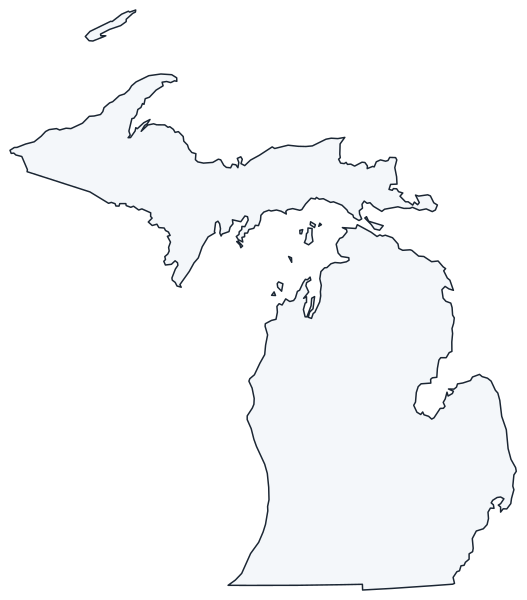
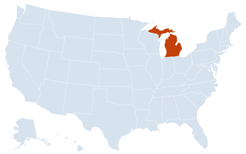
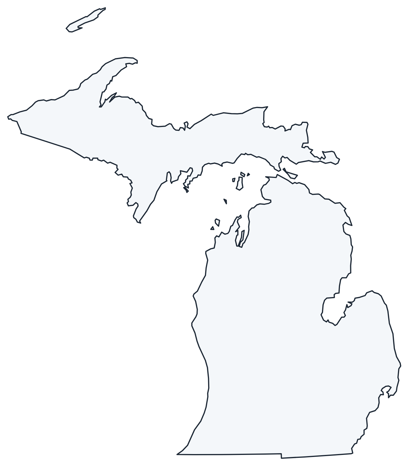
A blank outline of Michigan for coloring, labeling or school projects, and a locator map showing the state within the US. Free for personal and classroom use.
For all 83 counties with county seats and 2020 population, and a printable labeled map, see the Michigan county map.
Frequently asked questions
What is the capital of Michigan?
Lansing, in the south-central Lower Peninsula. Detroit, the largest city, was the capital until 1847, when the legislature moved it to Lansing.
How many counties are in Michigan?
There are 83 counties. Wayne County, which includes Detroit, is the most populous; Marquette County in the Upper Peninsula is the largest by land area.
What time zone is Michigan in?
Most of Michigan uses Eastern Time. Gogebic, Iron, Dickinson and Menominee counties, along the Wisconsin border in the Upper Peninsula, use Central Time. The whole state observes daylight saving time.
How do you drive to the Upper Peninsula?
From the Lower Peninsula, take I-75 across the Mackinac Bridge to St. Ignace. You can also enter the Upper Peninsula by road from Wisconsin or from Sault Ste. Marie, Ontario.
Neighboring and nearby states
Indiana · Ohio · Wisconsin · Water borders: Illinois, Minnesota · Also in the East North Central division: Illinois, Indiana, Ohio, Wisconsin
Back to the US state map or browse all 50 state maps.
Sources: U.S. Census Bureau (2020 Census, boundaries), USGS. Last reviewed October 2026.