Colorado State Map
Colorado is a nearly rectangular state in the Rocky Mountains, bordered by Wyoming and Nebraska to the north, Kansas to the east, Oklahoma and New Mexico to the south, and Utah to the west. This Colorado state map shows its cities and all 64 counties. Denver is both the capital and the largest city.
The interactive map shows Colorado’s largest cities (capital in red) on an OpenStreetMap base map. Turn on Show counties to see all county lines and hover for names.
Colorado quick facts
| Capital | Denver |
|---|---|
| Largest city | Denver |
| Population (2020) | 5,773,714 (21st of 50) |
| Total area | 104,094 sq mi (8th of 50) |
| Statehood | August 1, 1876 (38th state) |
| Counties | 64 counties · County map |
| Abbreviation | CO (AP style: Colo.) |
| Region | West (Mountain division) |
| Time zone | Mountain Time (MT) |
| Highest point | Mount Elbert, 14,433 ft (USGS) |
| Borders | Wyoming, Nebraska (north); Nebraska, Kansas (east); Oklahoma, New Mexico (south); Utah (west); touches Arizona at the Four Corners |
Largest cities in Colorado
All ten of Colorado’s largest cities lie along the Front Range, the eastern edge of the Rockies, between Fort Collins and Pueblo.
| Rank | City | Population (2020) |
|---|---|---|
| 1 | Denver (capital) | 715,522 |
| 2 | Colorado Springs | 478,961 |
| 3 | Aurora | 386,261 |
| 4 | Fort Collins | 169,810 |
| 5 | Lakewood | 155,984 |
| 6 | Thornton | 141,867 |
| 7 | Arvada | 124,402 |
| 8 | Westminster | 116,317 |
| 9 | Pueblo | 111,876 |
| 10 | Greeley | 108,795 |
Geography of Colorado
Colorado’s borders are straight survey lines, but the land inside them changes sharply from east to west: flat plains, then a wall of mountains, then canyons and mesas toward Utah. It has the highest average elevation of any state.
Eastern Plains
The eastern part of the state belongs to the High Plains, a dry, open landscape of wheat farms and cattle ranches. Small towns such as Sterling, Lamar and Burlington sit along the South Platte and Arkansas rivers or the interstates.
Front Range Urban Corridor
Most Coloradans live in a narrow strip where the plains meet the mountains, from Fort Collins and Greeley through Boulder, Denver and Colorado Springs to Pueblo. Denver is known as the Mile High City for its elevation of about 5,280 feet. Pikes Peak rises above Colorado Springs.
Rocky Mountains
Several ranges of the Rockies cross the center of the state, including the Front Range, the Sawatch Range (home of Mount Elbert) and the San Juan Mountains in the southwest. Colorado has more peaks above 14,000 feet, the “fourteeners,” than any other state. The Continental Divide runs through these ranges; water to the east flows toward the Gulf, water to the west toward the Pacific. Rocky Mountain National Park lies northwest of Boulder.
Western Slope
West of the Divide, the Colorado River runs through Glenwood Canyon to Grand Junction, the region’s largest city, and on into Utah. Black Canyon of the Gunnison National Park and Grand Mesa are nearby.
San Luis Valley and the Southwest
The Rio Grande rises in the San Juan Mountains and flows across the San Luis Valley, a high, flat basin around Alamosa, toward New Mexico. Great Sand Dunes National Park sits on the valley’s eastern edge. In the far southwest, Mesa Verde National Park near Durango protects Ancestral Puebloan cliff dwellings, and the Four Corners Monument marks the only point where four states meet.
Rivers
The Colorado, Rio Grande, Arkansas and South Platte rivers all start in Colorado’s mountains, which makes the state a major water source for its neighbors downstream.
Major highways
- I-25: the main north–south route along the Front Range, from Wyoming through Fort Collins, Denver, Colorado Springs, Pueblo and Trinidad to New Mexico.
- I-70: east–west across the state, from Utah through Grand Junction, Glenwood Canyon, Vail and the Eisenhower Tunnel to Denver and on to Kansas.
- I-76: from Denver northeast along the South Platte to Nebraska, where it meets I-80.
- I-225, I-270 and E-470: connectors and a toll beltway around the Denver metro area.
- US 285 and US 50: southwest from Denver toward the San Luis Valley, and east–west through Grand Junction, Gunnison, Pueblo and Lamar.
- US 160 and US 550: across the southern mountains to Durango; US 550 between Silverton and Ouray is called the Million Dollar Highway.
- US 34 (Trail Ridge Road): crosses Rocky Mountain National Park over the Continental Divide; the high section closes in winter.
Printable Colorado maps
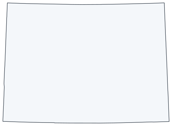
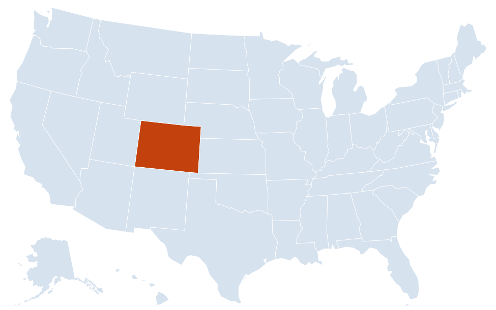
A blank outline of Colorado for coloring, labeling or school projects, and a locator map showing the state within the US. Free for personal and classroom use.

For all 64 counties with county seats and 2020 population, and a printable labeled map, see the Colorado county map.
Frequently asked questions
What is the capital of Colorado?
Denver, which is also the largest city. The city of Denver is a consolidated city and county.
How many counties are in Colorado?
There are 64 counties. El Paso County, which includes Colorado Springs, is the most populous (730,395 in 2020), slightly ahead of Denver. Las Animas County, on the New Mexico border, is the largest by area.
What time zone is Colorado in?
The whole state uses Mountain Time and observes daylight saving time.
Which four states meet at the Four Corners?
Colorado, Utah, Arizona and New Mexico. The Four Corners Monument, southwest of Cortez, is the only place in the US where four states meet at a single point.
Neighboring and nearby states
Kansas · Nebraska · New Mexico · Oklahoma · Utah · Wyoming · Also in the Mountain division: Arizona, Idaho, Montana, Nevada, New Mexico, Utah, Wyoming
Back to the US state map or browse all 50 state maps.
Sources: U.S. Census Bureau (2020 Census, boundaries), USGS, National Park Service. Last reviewed October 2026.