Vermont State Map
This Vermont state map covers the only New England state without an Atlantic coastline, set between Lake Champlain and the Connecticut River with Quebec, Canada, to the north. The capital is Montpelier, the least populous state capital in the US, and the largest city is Burlington.
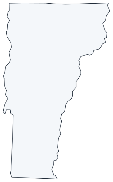
The interactive map shows Vermont’s largest cities (capital in red) on an OpenStreetMap base map. Turn on Show counties to see all county lines and hover for names.
Vermont quick facts
| Capital | Montpelier |
|---|---|
| Largest city | Burlington |
| Population (2020) | 643,077 (49th of 50) |
| Total area | 9,616 sq mi (45th of 50) |
| Statehood | March 4, 1791 (14th state) |
| Counties | 14 counties · County map |
| Abbreviation | VT (AP style: Vt.) |
| Region | Northeast (New England division) |
| Time zone | Eastern Time (ET) |
| Highest point | Mount Mansfield, about 4,393 ft (Green Mountains) |
| Borders | Quebec, Canada (north); New Hampshire (east, across the Connecticut River); Massachusetts (south); New York (west, partly through Lake Champlain) |
Where is Vermont?
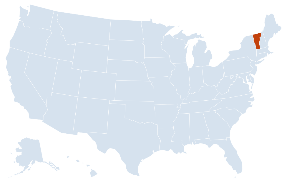
Vermont is in the Northeast region of the United States. Neighboring states: New Hampshire, Massachusetts, New York.
Largest cities in Vermont
| Rank | City | Population (2020) |
|---|---|---|
| 1 | Burlington | 44,743 |
| 2 | South Burlington | 20,292 |
| 3 | Rutland | 15,807 |
| 4 | Essex Junction | 10,590 |
| 5 | Barre | 8,491 |
| 6 | Montpelier (capital) | 8,074 |
| 7 | Winooski | 7,997 |
| 8 | St. Albans | 6,877 |
Vermont is divided into cities and towns. Essex Junction was a village inside the town of Essex in 2020 and became a separate city in 2022. Several towns have more people than most cities: Essex (22,094), Colchester (17,524), Bennington (15,333) and Brattleboro (12,184).
Geography of Vermont
Vermont is a small, hilly, mostly forested state. Its main features run north to south, so most roads and towns follow the valleys between the ranges.
Green Mountains
The Green Mountains form the spine of the state from Massachusetts to Canada. They include Mount Mansfield, the highest point, plus Killington Peak and Camel’s Hump. Most of the state’s ski areas, including Stowe and Killington, are on these slopes, and Green Mountain National Forest covers large parts of the southern and central ranges.
Champlain Valley
The lowland along Lake Champlain in the northwest is Vermont’s most populous and most farmed area. Burlington, South Burlington, Winooski, Essex and St. Albans are all here. Lake Champlain forms much of the border with New York and drains north into Quebec through the Richelieu River.
Southern Vermont and the Taconics
The Taconic Mountains rise in the southwest along the New York line, with the narrow Valley of Vermont between them and the Green Mountains. Bennington, Manchester and Rutland sit in this corridor.
Connecticut River Valley
The Connecticut River forms Vermont’s entire eastern border with New Hampshire. Brattleboro, Bellows Falls, Springfield and White River Junction are river towns. Montpelier, on the Winooski River, and neighboring Barre lie in central Vermont between this valley and the Green Mountains.
Northeast Kingdom
Essex, Orleans and Caledonia counties in the northeast corner are known as the Northeast Kingdom: the most rural part of the state, with St. Johnsbury, Newport and Lake Memphremagog, which extends into Quebec.
Lake Champlain islands
Grand Isle County is made up of islands in Lake Champlain plus the Alburgh peninsula, which reaches south from the Canadian border. US 2 links the islands to the mainland by causeway and bridge.
Trails and protected land
The Long Trail follows the main ridge of the Green Mountains from the Massachusetts line to Canada. The Appalachian Trail shares its route in southern Vermont, then turns east near Killington to cross the Connecticut River into New Hampshire at Norwich. Marsh-Billings-Rockefeller National Historical Park in Woodstock is the only national park unit based in the state.
Major highways
- I-89: from New Hampshire to White River Junction, then northwest through Montpelier and Burlington to the Canadian border at Highgate Springs, toward Montreal.
- I-91: north along the Connecticut River from Massachusetts through Brattleboro, White River Junction and St. Johnsbury to the Canadian border at Derby Line.
- I-93: a short stretch from I-91 at St. Johnsbury into New Hampshire.
- US 7: the western north–south route, from Bennington through Manchester, Rutland, Middlebury and Burlington to St. Albans and Canada.
- US 2 and US 4: east–west routes; US 2 runs through Montpelier and St. Johnsbury, US 4 links Rutland with White River Junction.
- VT 9: crosses the southern Green Mountains between Bennington and Brattleboro.
Printable Vermont maps
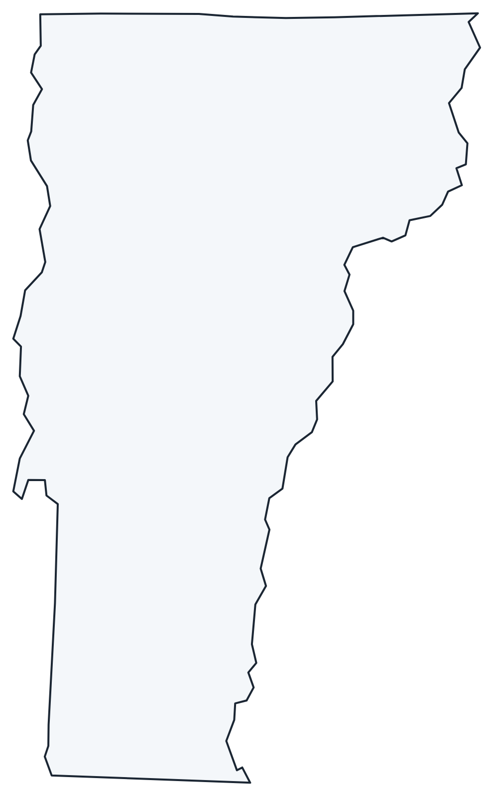
A blank outline of Vermont for coloring, labeling or school projects, and a locator map showing the state within the US. Free for personal and classroom use.
For all 14 counties with county seats and 2020 population, and a printable labeled map, see the Vermont county map.
Frequently asked questions
What is the capital of Vermont?
Montpelier. With 8,074 residents in 2020, it is the least populous state capital in the US. Burlington, northwest of Montpelier on Lake Champlain, is the largest city.
How many counties are in Vermont?
There are 14 counties. Chittenden County, which includes Burlington, is the most populous (168,323 in 2020); Windsor County is the largest by area.
What time zone is Vermont in?
All of Vermont uses Eastern Time and observes daylight saving time.
Does Vermont have a coastline?
No. Vermont is the only New England state that does not touch the Atlantic Ocean. Its largest body of water is Lake Champlain, shared with New York and Quebec.
Neighboring and nearby states
New Hampshire · Massachusetts · New York · Also in the New England division: Connecticut, Maine, Massachusetts, New Hampshire, Rhode Island
Back to the US state map or browse all 50 state maps.
Sources: U.S. Census Bureau (2020 Census, boundaries), USGS. Last reviewed October 2026.