New York State Map
New York stretches from the Atlantic beaches of Long Island to Lake Erie and the Canadian border. New York City holds more than 40% of the state’s people, but the capital is Albany, 150 miles up the Hudson River.
The interactive map shows New York’s largest cities (capital in red) on an OpenStreetMap base map. Turn on Show counties to see all county lines and hover for names.
New York quick facts
| Capital | Albany |
|---|---|
| Largest city | New York City |
| Population (2020) | 20,201,249 (4th of 50) |
| Total area | 54,555 sq mi (27th of 50) |
| Statehood | July 26, 1788 (11th state) |
| Counties | 62 counties · County map |
| Abbreviation | NY (AP style: N.Y.) |
| Region | Northeast (Middle Atlantic division) |
| Time zone | Eastern Time (ET) |
| Highest point | Mount Marcy, 5,344 ft (Adirondacks) |
| Borders | Vermont, Massachusetts, Connecticut (east); New Jersey, Pennsylvania (south); Ontario and Quebec, Canada (north and west); Lake Erie, Lake Ontario; a water boundary with Rhode Island; Atlantic Ocean |
Where is New York?
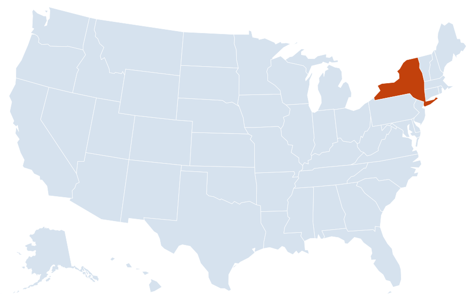
New York is in the Northeast region of the United States. Neighboring states: Vermont, Massachusetts, Connecticut, New Jersey, Pennsylvania.
Largest cities in New York
| Rank | City | Population (2020) |
|---|---|---|
| 1 | New York City | 8,804,190 |
| 2 | Buffalo | 278,349 |
| 3 | Yonkers | 211,569 |
| 4 | Rochester | 211,328 |
| 5 | Syracuse | 148,620 |
| 6 | Albany (capital) | 99,224 |
New York City’s figure is the total for its five boroughs. Brooklyn (Kings County) alone had 2,736,074 people in 2020, more than any other US city except Los Angeles and Chicago. Yonkers, just north of the Bronx in Westchester County, edged past Rochester for third place in 2020.
Regions of New York
- New York City: the five boroughs (Manhattan, Brooklyn, Queens, the Bronx and Staten Island), each of which is also a county.
- Long Island: Nassau and Suffolk counties, stretching about 118 miles east to Montauk Point.
- Hudson Valley: Westchester, Poughkeepsie and the river towns between New York City and Albany.
- Capital District: Albany, Schenectady, Troy and Saratoga Springs.
- Catskills: forested mountains west of the Hudson and the source of much of New York City’s water.
- Adirondacks and North Country: Adirondack Park covers about six million acres, larger than Yellowstone, Everglades, Glacier and Grand Canyon national parks combined. The North Country reaches the St. Lawrence River and the Thousand Islands.
- Central New York and the Finger Lakes: Syracuse, Ithaca and eleven long glacial lakes known for wine.
- Western New York: Buffalo, Rochester and Niagara Falls on the Canadian border.
- Southern Tier: Binghamton, Elmira and Jamestown along the Pennsylvania line.
Rivers, lakes and the Erie Canal
The Hudson River runs about 315 miles from the Adirondacks to New York Harbor. Its largest tributary, the Mohawk River, flows east through Utica and Schenectady and joins the Hudson near Cohoes, just north of Albany. The Erie Canal, opened in 1825, followed the Mohawk Valley to link the Hudson with Lake Erie at Buffalo and helped make New York City the nation’s leading port.
New York borders two Great Lakes, Erie and Ontario. The Niagara River carries water from Lake Erie over Niagara Falls into Lake Ontario, and the St. Lawrence River drains Lake Ontario past the Thousand Islands toward Montreal. Lake Champlain forms much of the boundary with Vermont. In the south, the Delaware River forms part of the border with Pennsylvania, and the Susquehanna rises at Otsego Lake in Cooperstown before looping through Binghamton. Seneca and Cayuga are the largest of the Finger Lakes.
New York county map
New York has 62 counties. Five of them are the boroughs of New York City, so the county list includes some of the most crowded places in the country: Kings County (Brooklyn) is the most populous, and New York County (Manhattan) had 1,694,251 people in 2020 on less than 23 square miles of land. At the other end, Hamilton County in the heart of the Adirondacks is the least populous, with 5,107 people. St. Lawrence County, along the river of the same name, is the largest by area. Turn on the county toggle on the map above to see every county line.
National parks and protected land
New York has no national park in the strict sense, but the National Park Service runs many historic sites and other units in the state, including the Statue of Liberty National Monument and Ellis Island in New York Harbor, Fire Island National Seashore off Long Island, Saratoga National Historical Park north of Albany, the Home of Franklin D. Roosevelt in Hyde Park, and Women’s Rights National Historical Park in Seneca Falls. The two largest protected areas, Adirondack Park and Catskill Park, are state parks that mix public “forever wild” Forest Preserve with private land.
Major highways
- I-87: the New York State Thruway from New York City to Albany, then the Adirondack Northway to the Canadian border toward Montreal.
- I-90: the Thruway west from Albany through Utica, Syracuse, Rochester and Buffalo.
- I-81: north–south from Pennsylvania through Binghamton, Syracuse and Watertown to Canada.
- I-86 (NY 17): the Southern Tier Expressway across the southern edge of the state.
- I-88 and I-84: Binghamton to Schenectady, and Pennsylvania to Connecticut via Newburgh.
- I-95 and I-495: through New York City toward New England, and the Long Island Expressway.
- I-287: an arc through Rockland and Westchester counties that crosses the Hudson with the Thruway on the Governor Mario M. Cuomo Bridge.
- I-190: from I-90 in Buffalo north past Niagara Falls to the Lewiston–Queenston Bridge into Ontario.
Printable New York maps
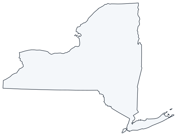
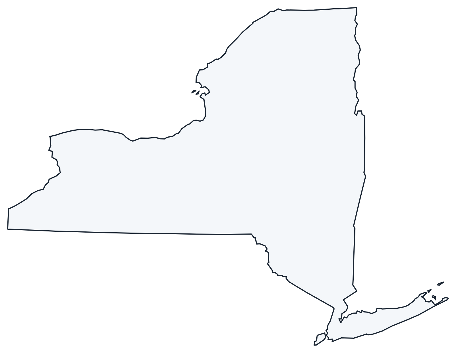
A blank outline of New York for coloring, labeling or school projects, and a locator map showing the state within the US. Free for personal and classroom use.
For all 62 counties with county seats and 2020 population, and a printable labeled map, see the New York county map.
Frequently asked questions
What is the capital of New York?
Albany. It has been the capital since 1797; New York City is the largest city but not the capital.
How many counties does New York have?
There are 62 counties. Five of them are the boroughs of New York City: New York (Manhattan), Kings (Brooklyn), Queens, Bronx and Richmond (Staten Island).
What is the difference between upstate and downstate New York?
There is no official line. Downstate usually means New York City, Long Island and the lower Hudson Valley; upstate is everything north and west of that.
What is the highest point in New York?
Mount Marcy, at 5,344 feet, in the High Peaks of the Adirondacks in Essex County.
Does New York border Canada?
Yes. New York borders the Canadian provinces of Ontario and Quebec, along the St. Lawrence River, the Niagara River and Lakes Erie and Ontario.
Neighboring and nearby states
Vermont · Massachusetts · Connecticut · New Jersey · Pennsylvania · Also in the Middle Atlantic division: New Jersey · Pennsylvania
Back to the US state map or browse all 50 state maps.
Sources: U.S. Census Bureau (2020 Census, boundaries), USGS, National Park Service. Last reviewed October 2026.