Virginia State Map
This Virginia state map covers a South Atlantic state that reaches from the Atlantic beaches of Hampton Roads to the Appalachian coalfields, with Washington, D.C., across the Potomac River to the northeast. The capital is Richmond and the largest city is Virginia Beach.
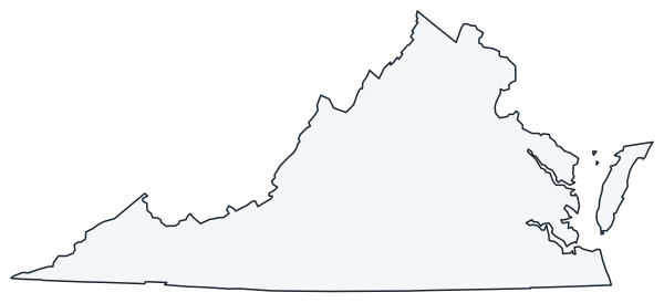
The interactive map shows Virginia’s largest cities (capital in red) on an OpenStreetMap base map. Turn on Show counties to see all county lines and hover for names.
Virginia quick facts
| Capital | Richmond |
|---|---|
| Largest city | Virginia Beach |
| Population (2020) | 8,631,393 (12th of 50) |
| Total area | 42,775 sq mi (35th of 50) |
| Statehood | June 25, 1788 (10th state) |
| Counties | 95 counties and 38 independent cities · County map |
| Abbreviation | VA (AP style: Va.) |
| Region | South (South Atlantic division) |
| Time zone | Eastern Time (ET) |
| Highest point | Mount Rogers, about 5,729 ft (Grayson County) |
| Borders | Maryland and Washington, D.C. (north and east, across the Potomac River); West Virginia (northwest); Kentucky (west); Tennessee, North Carolina (south); Chesapeake Bay and Atlantic Ocean (east) |
Where is Virginia?
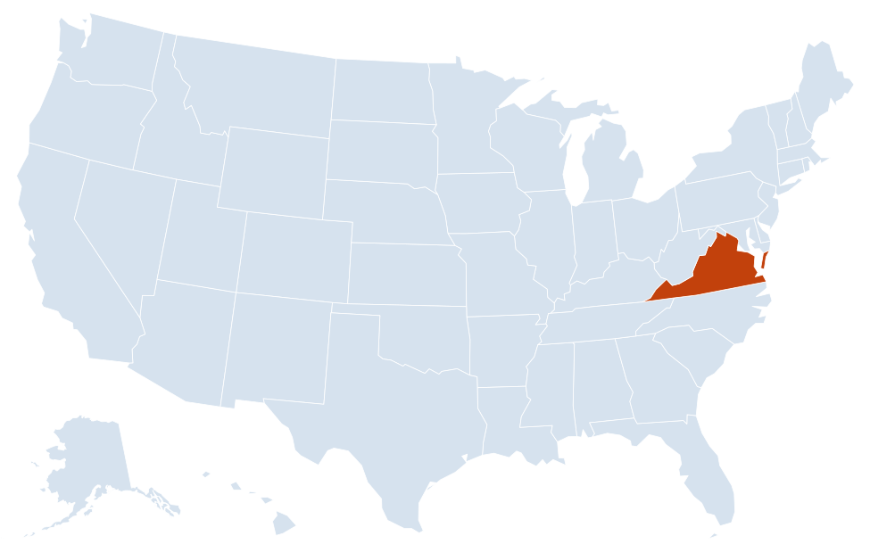
Virginia is in the South region of the United States. Neighboring states: Maryland, West Virginia, Kentucky, Tennessee, North Carolina; it also borders Washington, D.C.
Largest cities in Virginia
| Rank | City | Population (2020) |
|---|---|---|
| 1 | Virginia Beach | 459,470 |
| 2 | Chesapeake | 249,422 |
| 3 | Norfolk | 238,005 |
| 4 | Richmond (capital) | 226,610 |
| 5 | Newport News | 186,247 |
| 6 | Alexandria | 159,467 |
| 7 | Hampton | 137,148 |
| 8 | Roanoke | 100,011 |
| 9 | Portsmouth | 97,915 |
| 10 | Suffolk | 94,324 |
All ten are independent cities. Arlington (238,643 in 2020) is not on the list because it is a county with no incorporated city; Fairfax County, with 1,150,309 people, is the most populous jurisdiction in the state.
Counties and independent cities
Virginia has 38 of the 41 independent cities in the US: every Virginia city is separate from the counties around them and count as county-level areas for the Census. That is why a Virginia county map shows 133 units (95 counties plus 38 cities). Some cities and counties share a name but are separate governments, such as Richmond city and Richmond County, which lie in different parts of the state, or Fairfax city, which sits inside Fairfax County but is not part of it. Towns, by contrast, remain part of their county.
Regions of Virginia
- Tidewater and Hampton Roads: the low Coastal Plain along Chesapeake Bay, cut by the Potomac, Rappahannock, York and James rivers. Hampton Roads, where the James meets the bay, holds Virginia Beach, Norfolk, Chesapeake, Newport News, Hampton, Portsmouth and Suffolk. Jamestown, Williamsburg and Yorktown are on the peninsula between the York and James.
- Eastern Shore: the southern tip of the Delmarva Peninsula, between Chesapeake Bay and the Atlantic, reached from Virginia Beach by the Chesapeake Bay Bridge-Tunnel. Chincoteague and Assateague Island are on its Atlantic side.
- Northern Virginia: the Washington, D.C., suburbs in Fairfax, Arlington, Loudoun and Prince William counties and the city of Alexandria.
- Piedmont: rolling country between the fall line at Richmond and Fredericksburg and the Blue Ridge, with Charlottesville, Lynchburg and Danville.
- Blue Ridge: a narrow mountain range crossing the state from northeast to southwest. Shenandoah National Park and Skyline Drive cover its northern section; the Blue Ridge Parkway continues south past Roanoke to North Carolina.
- Valley and Ridge: the Shenandoah Valley, with Winchester, Harrisonburg, Staunton and Lexington, plus the Roanoke Valley and the New River Valley around Blacksburg.
- Southwest Virginia: the Appalachian Plateau coalfields and the high country around Mount Rogers, with Abingdon, Bristol and Big Stone Gap.
Major highways
- I-95: the main north–south route on the East Coast, from North Carolina through Petersburg, Richmond and Fredericksburg to the Capital Beltway and Maryland.
- I-81: runs the length of the Valley and Ridge, from Bristol on the Tennessee line through Roanoke, Harrisonburg and Winchester to West Virginia.
- I-64: east–west from West Virginia through Lexington, Charlottesville and Richmond to Williamsburg and Hampton Roads, crossing the harbor on the Hampton Roads Bridge-Tunnel.
- I-66: from I-81 in the Shenandoah Valley east to Arlington and Washington, D.C.
- I-77 and I-85: I-77 crosses Southwest Virginia through Wytheville between West Virginia and North Carolina; I-85 runs from Petersburg southwest to North Carolina.
- I-495 and I-295: the Capital Beltway around Washington, D.C., and the eastern bypass of Richmond.
- US 13 and US 58: US 13 crosses the Chesapeake Bay Bridge-Tunnel and runs up the Eastern Shore; US 58 follows the southern border from Virginia Beach to the far western tip of the state.
Printable Virginia maps
A blank outline of Virginia for coloring, labeling or school projects, and a locator map showing the state within the US. Free for personal and classroom use.
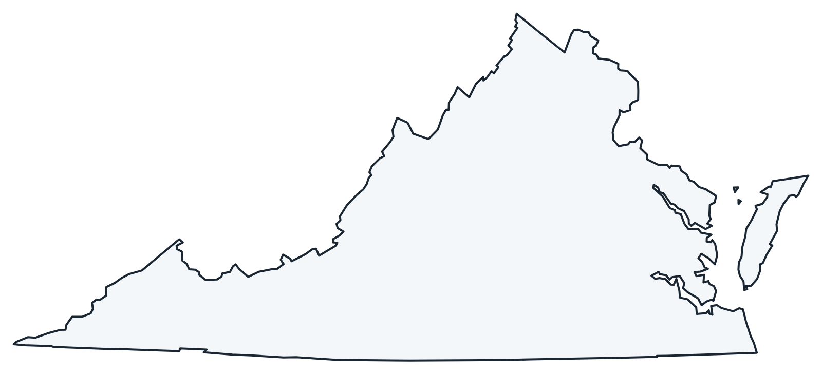
For all 95 counties and 38 independent cities with county seats and 2020 population, and a printable labeled map, see the Virginia county map.
Frequently asked questions
What is the capital of Virginia?
Richmond, on the James River at the fall line. It has been the capital since 1780; Virginia Beach is the largest city.
How many counties are in Virginia?
Virginia has 95 counties plus 38 independent cities that belong to no county. Fairfax County is the most populous (1,150,309 in 2020); Pittsylvania County is the largest by land area.
What time zone is Virginia in?
All of Virginia uses Eastern Time and observes daylight saving time.
What is the difference between Virginia and West Virginia?
They are separate states. West Virginia was formed from Virginia’s northwestern counties during the Civil War and became a state on June 20, 1863.
Neighboring and nearby states
Maryland · West Virginia · Kentucky · Tennessee · North Carolina · Also in the South Atlantic division: Delaware, Florida, Georgia, Maryland, North Carolina, South Carolina, West Virginia
Back to the US state map or browse all 50 state maps.
Sources: U.S. Census Bureau (2020 Census, boundaries), USGS, National Park Service. Last reviewed October 2026.