Montana State Map
This Montana state map covers the fourth-largest state, on the Canadian border in the northern Rockies, where the Rocky Mountains in the west give way to the Great Plains in the east. Montana borders three Canadian provinces and four US states. Its capital is Helena and its largest city is Billings.
The interactive map shows Montana’s largest cities (capital in red) on an OpenStreetMap base map. Turn on Show counties to see all county lines and hover for names.
Montana quick facts
| Capital | Helena |
|---|---|
| Largest city | Billings |
| Population (2020) | 1,084,225 (44th of 50) |
| Total area | 147,040 sq mi (4th of 50) |
| Statehood | November 8, 1889 (41st state) |
| Counties | 56 counties · County map |
| Abbreviation | MT (AP style: Mont.) |
| Region | West (Mountain division) |
| Time zone | Mountain Time (MT) |
| Highest point | Granite Peak, 12,799 ft (Beartooth Mountains) |
| Borders | British Columbia, Alberta and Saskatchewan, Canada (north); North Dakota, South Dakota (east); Wyoming (south); Idaho (west and southwest) |
Where is Montana?
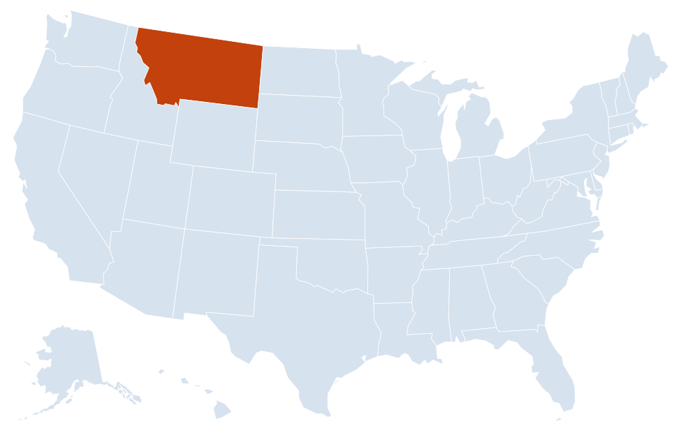
Montana is in the West region of the United States. Neighboring states: Idaho, North Dakota, South Dakota, Wyoming.
Largest cities in Montana
| Rank | City | Population (2020) |
|---|---|---|
| 1 | Billings | 117,116 |
| 2 | Missoula | 73,489 |
| 3 | Great Falls | 60,442 |
| 4 | Bozeman | 53,293 |
| 5 | Butte-Silver Bow | 34,494 |
| 6 | Helena (capital) | 32,091 |
| 7 | Kalispell | 24,558 |
Butte and Silver Bow County form a consolidated city-county; the figure is the Census count for the consolidated government, excluding the separately incorporated town of Walkerville.
Geography of Montana
Montana is the largest landlocked state. Roughly the western third is mountains; the rest is the high, rolling Great Plains, cut by the Missouri and Yellowstone rivers. The Continental Divide runs through the western mountains, so western Montana drains to the Pacific and the rest of the state to the Gulf of Mexico by way of the Missouri River.
Western Montana: the Rockies
- Northwest: Kalispell, Whitefish and Flathead Lake, one of the largest natural freshwater lakes in the West, in the Flathead Valley southwest of Glacier National Park.
- Missoula and the Bitterroot: Missoula sits where five valleys meet; the Bitterroot Valley runs south toward Hamilton between the Bitterroot and Sapphire ranges.
- Southwest: Butte, Dillon and the old mining country along the Divide, plus Bozeman and the Gallatin Valley.
- Helena: the capital lies in a valley east of the Divide, near the Missouri River.
Glacier and Yellowstone
Glacier National Park covers the Rockies along the Canadian border; the Going-to-the-Sun Road crosses it at Logan Pass. To the south, three of the five entrances to Yellowstone National Park are in Montana: Gardiner (North), Cooke City–Silver Gate (Northeast) and West Yellowstone (West). The Beartooth Mountains, home to Granite Peak, rise along the Wyoming line.
Eastern Montana: the Great Plains
- Hi-Line: the farming towns along US 2 and the railroad near the Canadian border, including Havre, Glasgow and Wolf Point.
- Missouri Breaks: rugged badlands along the Missouri River below Fort Benton, now a national monument; the river is dammed farther east at Fort Peck Lake.
- Yellowstone Valley: Billings, Miles City and Glendive along the Yellowstone River, which flows northeast to join the Missouri just across the North Dakota line.
- Southeast: the Crow and Northern Cheyenne reservations and Little Bighorn Battlefield National Monument near Crow Agency.
Rivers
The Missouri River begins near Three Forks, where the Jefferson, Madison and Gallatin rivers meet, and flows north past Helena and Great Falls before turning east. West of the Divide, the Clark Fork drains much of western Montana, passing Missoula on its way to Lake Pend Oreille in Idaho. The lowest point in Montana, about 1,800 ft, is on the Kootenai River where it leaves for Idaho.
Major highways
- I-90: the main east–west route, from the Idaho line at Lookout Pass through Missoula, Butte, Bozeman, Livingston and Billings, then southeast past Hardin into Wyoming.
- I-94: branches off I-90 east of Billings and runs through Miles City and Glendive to North Dakota.
- I-15: north–south from Idaho through Dillon, Butte, Helena, Great Falls and Shelby to the Canadian border at Sweetgrass.
- US 2: the Hi-Line across the north, from Libby and Kalispell past Glacier National Park to Havre, Glasgow and the North Dakota line.
- US 93: north from Idaho through the Bitterroot Valley to Missoula, Flathead Lake, Kalispell and the Canadian border.
- US 212: the Beartooth Highway from Red Lodge over Beartooth Pass to Cooke City and Yellowstone; it closes in winter.
Printable Montana maps
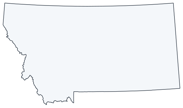
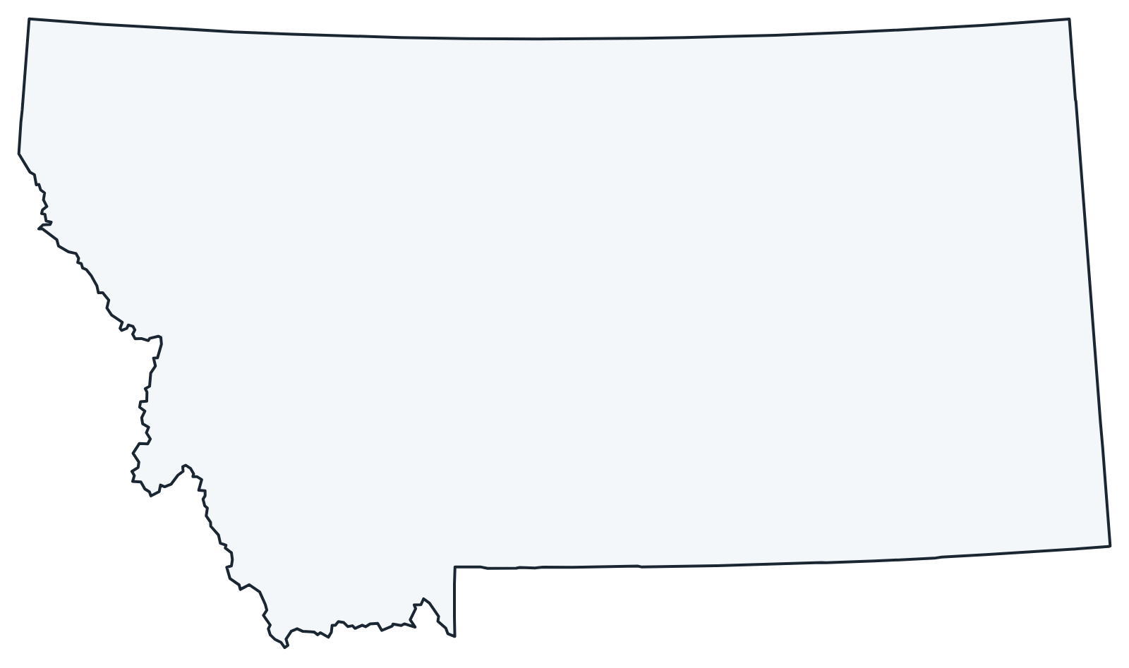
A blank outline of Montana for coloring, labeling or school projects, and a locator map showing the state within the US. Free for personal and classroom use.
For all 56 counties with county seats and 2020 population, and a printable labeled map, see the Montana county map.
Frequently asked questions
What is the capital of Montana?
Helena, in the west-central part of the state. Billings is the largest city, but not the capital.
How many counties are in Montana?
There are 56 counties. Yellowstone County, which includes Billings, is the most populous; Beaverhead County in the southwest is the largest by area.
What time zone is Montana in?
The whole state uses Mountain Time and observes daylight saving time.
Is Yellowstone National Park in Montana?
Mostly not. Nearly all of Yellowstone is in Wyoming, with narrow strips in Montana and Idaho, but three of its five entrances (North, Northeast and West) are in Montana.
Neighboring and nearby states
Idaho · North Dakota · South Dakota · Wyoming · Also in the Mountain division: Arizona, Colorado, Idaho, Nevada, New Mexico, Utah, Wyoming
Back to the US state map or browse all 50 state maps.
Sources: U.S. Census Bureau (2020 Census, boundaries), USGS. Last reviewed October 2026.