Ohio State Map
This Ohio state map shows a Midwestern state between Lake Erie to the north and the Ohio River to the south, with Pennsylvania to the east and Indiana to the west. Columbus, in the center of the state, is both the capital and the largest city.
The interactive map shows Ohio’s largest cities (capital in red) on an OpenStreetMap base map. Turn on Show counties to see all county lines and hover for names.
Ohio quick facts
| Capital | Columbus |
|---|---|
| Largest city | Columbus |
| Population (2020) | 11,799,448 (7th of 50) |
| Total area | 44,826 sq mi (34th of 50) |
| Statehood | March 1, 1803 (17th state) |
| Counties | 88 counties · County map |
| Abbreviation | OH (AP style: Ohio) |
| Region | Midwest (East North Central division) |
| Time zone | Eastern Time (ET) |
| Highest point | Campbell Hill, 1,550 ft (near Bellefontaine) |
| Borders | Michigan (northwest), Lake Erie (north), Pennsylvania (east), West Virginia (southeast), Kentucky (south), Indiana (west); a water boundary with Ontario, Canada, in Lake Erie |
Where is Ohio?
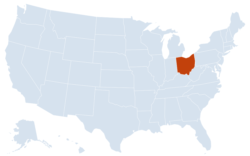
Ohio is in the Midwest region of the United States. Neighboring states: Indiana, Kentucky, Michigan, Pennsylvania, West Virginia.
Largest cities in Ohio
| Rank | City | Population (2020) |
|---|---|---|
| 1 | Columbus (capital) | 905,748 |
| 2 | Cleveland | 372,624 |
| 3 | Cincinnati | 309,317 |
| 4 | Toledo | 270,871 |
| 5 | Akron | 190,469 |
| 6 | Dayton | 137,644 |
| 7 | Parma | 81,146 |
| 8 | Canton | 70,872 |
| 9 | Lorain | 65,211 |
| 10 | Hamilton | 63,399 |
Ohio’s population is spread across several large metro areas instead of one dominant city: Columbus in the center, Cleveland and Akron in the northeast, Cincinnati and Dayton in the southwest, and Toledo in the northwest. Parma is a suburb of Cleveland, and Hamilton lies between Cincinnati and Dayton.
Geography of Ohio
Ohio is mostly low, rolling country. Glaciers flattened the north and west during the last Ice Age, while the unglaciated southeast is hilly and forested. The state has two great water borders: Lake Erie on the north and the Ohio River, which forms the entire southern and southeastern boundary with West Virginia and Kentucky.
Lake Erie shore and the Lake Plains
A narrow plain follows the lakeshore from Toledo past Sandusky and Cleveland to Ashtabula. Offshore, the Lake Erie islands (Kelleys Island and the Bass Islands, including Put-in-Bay) are reached by ferry from the Marblehead Peninsula and Port Clinton. Northwest Ohio around Toledo was once the Great Black Swamp, drained in the 1800s for farming. The boundary with Michigan near Toledo was settled after the 1835 “Toledo War.”
Till Plains (western and central Ohio)
Flat to gently rolling farmland of corn and soybeans covers the west, around Lima, Findlay and Dayton. Campbell Hill, the highest point in the state at 1,550 ft, rises only slightly above the surrounding fields near Bellefontaine in Logan County.
Appalachian Plateau (eastern and southeastern Ohio)
East of a line roughly from Cleveland to Chillicothe, the land becomes hilly. The southeast holds Wayne National Forest, the sandstone gorges and caves of Hocking Hills, and river towns such as Marietta, the first permanent American settlement in the Northwest Territory (1788). Northeast Ohio includes the industrial cities of Akron, Canton and Youngstown.
Rivers
- Ohio River: the southern border, passing Steubenville, Marietta, Portsmouth and Cincinnati.
- Scioto River: flows south through Columbus and Chillicothe to the Ohio at Portsmouth.
- Great Miami River: runs through Dayton and Hamilton toward the Ohio near Cincinnati.
- Muskingum River: drains east-central Ohio through Zanesville to Marietta.
- Maumee River: flows northeast across the northwest corner to Lake Erie at Toledo.
- Cuyahoga River: winds through Akron and Cleveland to Lake Erie.
Parks and protected areas
Cuyahoga Valley National Park, between Cleveland and Akron, is Ohio’s only national park. Other federal sites include Hopewell Culture National Historical Park near Chillicothe, which protects ancient earthwork mounds, and Perry’s Victory and International Peace Memorial at Put-in-Bay.
Counties
Ohio has 88 counties. On the county map, the largest metro counties are Franklin (Columbus), Cuyahoga (Cleveland) and Hamilton (Cincinnati); Hamilton County should not be confused with the city of Hamilton, which is in Butler County.
Major highways
- I-70: east–west across the middle of the state, from the Indiana line through Dayton, Columbus, Zanesville and Cambridge to Wheeling, West Virginia.
- I-71: diagonal route linking Cleveland, Columbus and Cincinnati, continuing to Louisville, Kentucky.
- I-75: north–south through western Ohio, from Toledo via Findlay, Lima and Dayton to Cincinnati.
- I-77: from Cleveland through Akron, Canton and Cambridge to Marietta and West Virginia.
- I-80 and I-90 (Ohio Turnpike): the toll road across northern Ohio from Indiana past Toledo and the Cleveland area to Youngstown and Pennsylvania; I-90 splits off to follow the lakeshore through Cleveland to Ashtabula.
- I-76: from Akron east past Youngstown to the Pennsylvania Turnpike.
- I-270, I-275 and I-271: beltways and bypasses around Columbus, Cincinnati and Cleveland.
- US 23 and US 33: key four-lane routes from Toledo through Columbus to Portsmouth, and from Columbus southeast to Athens.
Printable Ohio maps
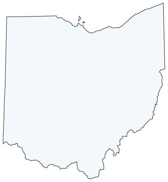
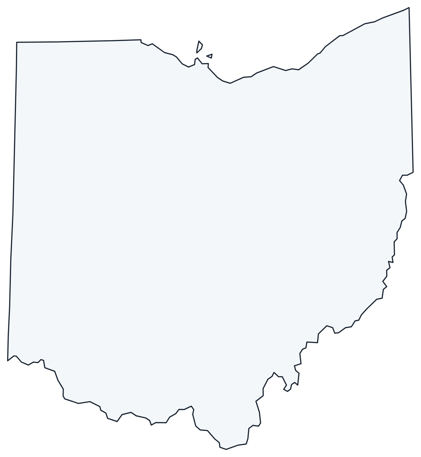
A blank outline of Ohio for coloring, labeling or school projects, and a locator map showing the state within the US. Free for personal and classroom use.
For all 88 counties with county seats and 2020 population, and a printable labeled map, see the Ohio county map.
Frequently asked questions
What is the capital of Ohio?
Columbus, which is also the largest city. It has been the capital since 1816; Chillicothe and Zanesville served earlier.
How many counties are in Ohio?
There are 88 counties. Franklin County, which includes Columbus, is the most populous.
What time zone is Ohio in?
All of Ohio uses Eastern Time and observes daylight saving time.
Neighboring and nearby states
Indiana · Kentucky · Michigan · Pennsylvania · West Virginia · Also in the East North Central division: Illinois, Indiana, Michigan, Wisconsin
Back to the US state map or browse all 50 state maps.
Sources: U.S. Census Bureau (2020 Census, boundaries), USGS, National Park Service. Last reviewed October 2026.