Georgia State Map
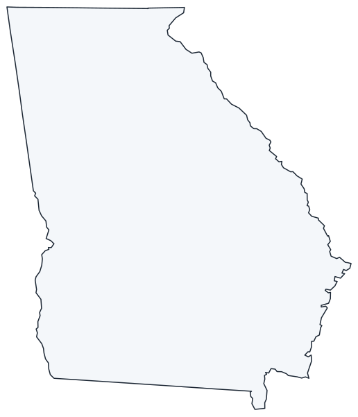
This Georgia state map covers the largest state in the Southeast by land area, which reaches from the Blue Ridge Mountains on the Tennessee and North Carolina lines to the Atlantic coast and the Florida border. Alabama lies to the west and South Carolina to the northeast. Atlanta is both the capital and the largest city.
The interactive map shows Georgia’s largest cities (capital in red) on an OpenStreetMap base map. Turn on Show counties to see all county lines and hover for names.
Georgia quick facts
| Capital | Atlanta |
|---|---|
| Largest city | Atlanta |
| Population (2020) | 10,711,908 (8th of 50) |
| Total area | 59,425 sq mi (24th of 50) |
| Statehood | January 2, 1788 (4th state) |
| Counties | 159 counties · County map |
| Abbreviation | GA (AP style: Ga.) |
| Region | South (South Atlantic division) |
| Time zone | Eastern Time (ET) |
| Highest point | Brasstown Bald, 4,784 ft |
| Borders | Tennessee and North Carolina (north), South Carolina (northeast), Alabama (west), Florida (south), Atlantic Ocean (east) |
Where is Georgia?
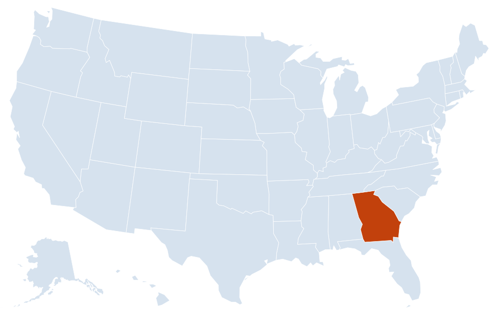
Georgia is in the South region of the United States. Neighboring states: Alabama, Florida, North Carolina, South Carolina, Tennessee.
Largest cities in Georgia
| Rank | City | Population (2020) |
|---|---|---|
| 1 | Atlanta (capital) | 498,715 |
| 2 | Columbus | 206,922 |
| 3 | Augusta | 202,081 |
| 4 | Macon | 157,346 |
| 5 | Savannah | 147,780 |
| 6 | Athens | 127,315 |
| 7 | Sandy Springs | 108,080 |
| 8 | South Fulton | 107,436 |
| 9 | Roswell | 92,833 |
| 10 | Johns Creek | 82,453 |
Augusta, Macon and Athens are consolidated city-county governments (Augusta-Richmond County, Macon-Bibb County, Athens-Clarke County); figures are the Census counts for those governments, excluding separately incorporated towns inside them.
Geography of Georgia
Georgia is usually divided into five physiographic regions. The Fall Line, where the hard rock of the Piedmont meets the softer sediments of the Coastal Plain, runs across the middle of the state through Columbus, Macon and Augusta; rivers drop over rapids there, which is why those cities grew up as river ports and mill towns.
Blue Ridge
The mountainous northeast, with Brasstown Bald, the state’s highest point, and Springer Mountain, the southern end of the Appalachian Trail. Towns include Blue Ridge, Dahlonega and Helen. The Chattahoochee National Forest covers much of the area.
Ridge and Valley and Appalachian Plateau
Long parallel ridges in the northwest around Rome and Dalton, the center of US carpet manufacturing. The far northwest corner, around Lookout Mountain near Chattanooga, Tennessee, belongs to the Appalachian Plateau.
Piedmont
Rolling hills between the mountains and the Fall Line. The Piedmont holds metro Atlanta, Athens and Lake Lanier, a reservoir on the Chattahoochee River north of the city. Stone Mountain, a large granite dome, rises east of Atlanta.
Coastal Plain
Flat farmland and pine forest covering roughly the southern three-fifths of the state, with Albany, Valdosta, Waycross and Statesboro. Southwest Georgia grows much of the nation’s peanut crop. The Okefenokee Swamp, a large blackwater wetland protected as a national wildlife refuge, straddles the Florida line.
The coast and Sea Islands
Georgia’s short Atlantic coast runs from Savannah to the St. Marys River. Barrier islands (the Sea Islands, also called the Golden Isles around Brunswick) include Tybee, Sapelo, St. Simons, Jekyll and Cumberland Island, a national seashore.
Rivers and lakes
The Chattahoochee River flows from the Blue Ridge through Atlanta and then forms the southern half of the Alabama border before joining the Flint River at Lake Seminole on the Florida line. The Savannah River forms almost the entire border with South Carolina and passes Augusta and Savannah. In the middle of the state, the Oconee and Ocmulgee rivers join to form the Altamaha, which reaches the Atlantic near Darien. Most large lakes in Georgia are reservoirs, including Lake Lanier, Lake Hartwell, Clarks Hill Lake (J. Strom Thurmond Lake) and West Point Lake.
Georgia county map
With 159 counties, Georgia has more than any state except Texas. Fulton County, which includes most of Atlanta, is the most populous (1,066,710 in 2020), followed by Gwinnett, Cobb and DeKalb, all in metro Atlanta. Ware County, around Waycross, is the largest by area. Use the county toggle on the map above to see every county line.
Major highways
- I-75: from Chattanooga through Dalton, Atlanta, Macon and Valdosta into Florida.
- I-85: from South Carolina through the northeast Atlanta suburbs and Atlanta to LaGrange and Alabama.
- I-20: west to east from Alabama through Atlanta to Augusta and South Carolina.
- I-16: from Macon southeast to Savannah.
- I-95: along the coast from South Carolina through Savannah and Brunswick to Florida.
- I-285: the Perimeter, a beltway around Atlanta; I-185 links I-85 with Columbus.
- US 441 and US 19: long north–south routes through the mountains and the Coastal Plain, away from the interstates.
Printable Georgia maps
A blank outline of Georgia for coloring, labeling or school projects, and a locator map showing the state within the US. Free for personal and classroom use.
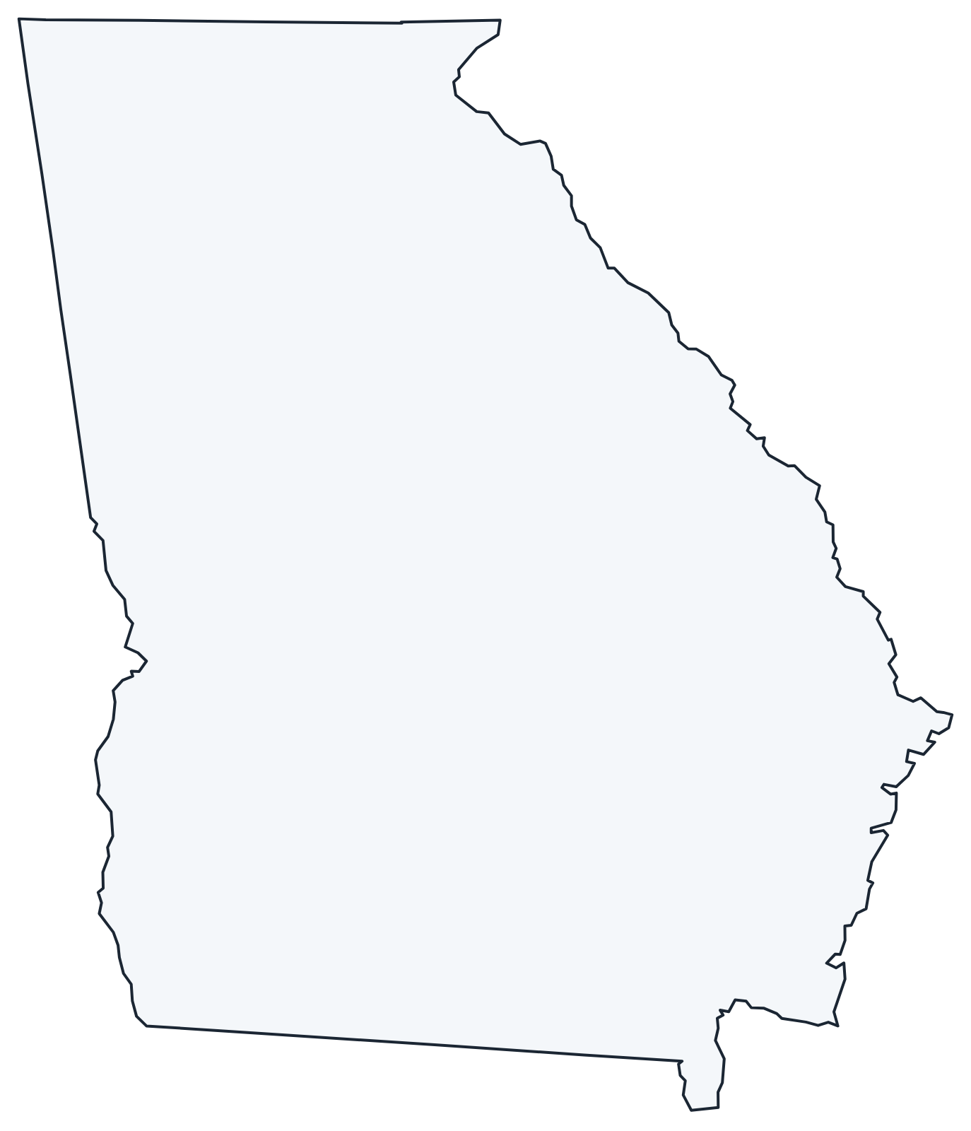
For all 159 counties with county seats and 2020 population, and a printable labeled map, see the Georgia county map.
Frequently asked questions
What is the capital of Georgia?
Atlanta, which is also the largest city. It has been the capital since 1868; earlier capitals included Savannah, Augusta, Louisville and Milledgeville.
How many counties are in Georgia?
There are 159 counties, the second most of any state after Texas. Fulton County is the most populous and Ware County is the largest by area.
What time zone is Georgia in?
All of Georgia uses Eastern Time and observes daylight saving time. Neighboring Alabama is on Central Time, so clocks change when you cross the western border.
Is Georgia the largest state east of the Mississippi River?
By land area, yes. Michigan has a larger total area only because it includes large parts of the Great Lakes.
Neighboring and nearby states
Alabama · Florida · North Carolina · South Carolina · Tennessee · Also in the South Atlantic division: Delaware, Florida, Maryland, North Carolina, South Carolina, Virginia, West Virginia
Back to the US state map or browse all 50 state maps.
Sources: U.S. Census Bureau (2020 Census, boundaries), USGS. Last reviewed October 2026.