Blank US Map
A blank map of the United States with every state border and no names, ready to print or fill in. In the interactive version, click any state to reveal its name.
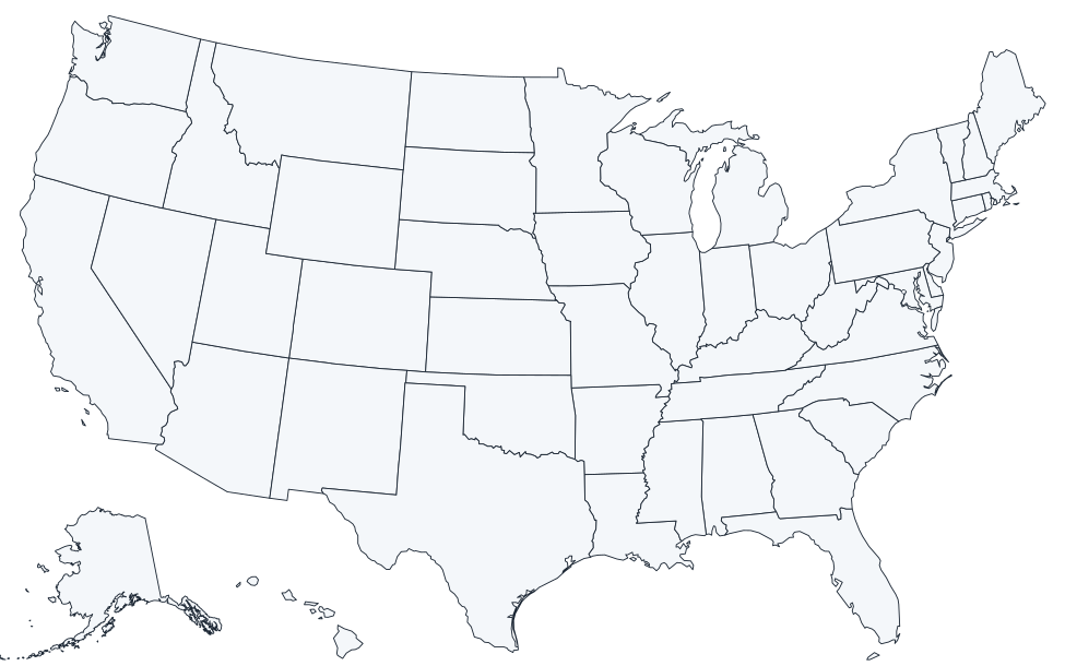
Download the blank map
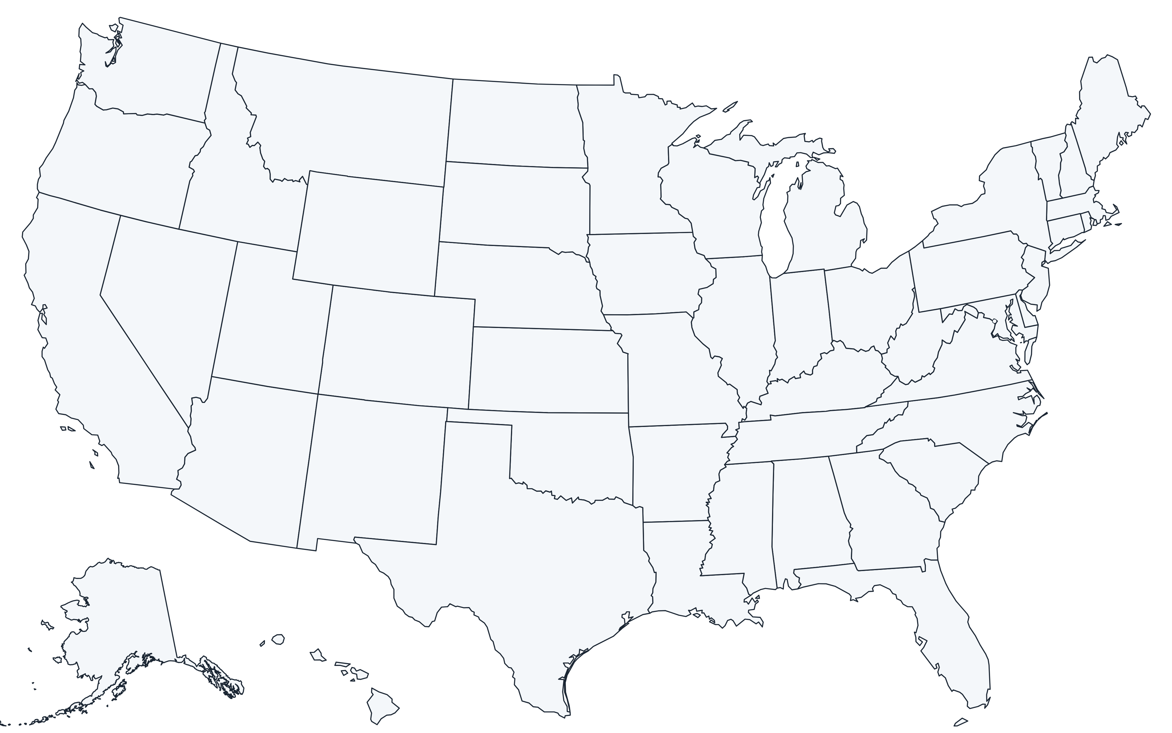
The PDF prints edge to edge on US Letter paper in landscape. The 4,000-pixel PNG works for slides and documents. The SVG is fully editable, so you can color states in any design tool.
Numbered US map worksheet with answer key
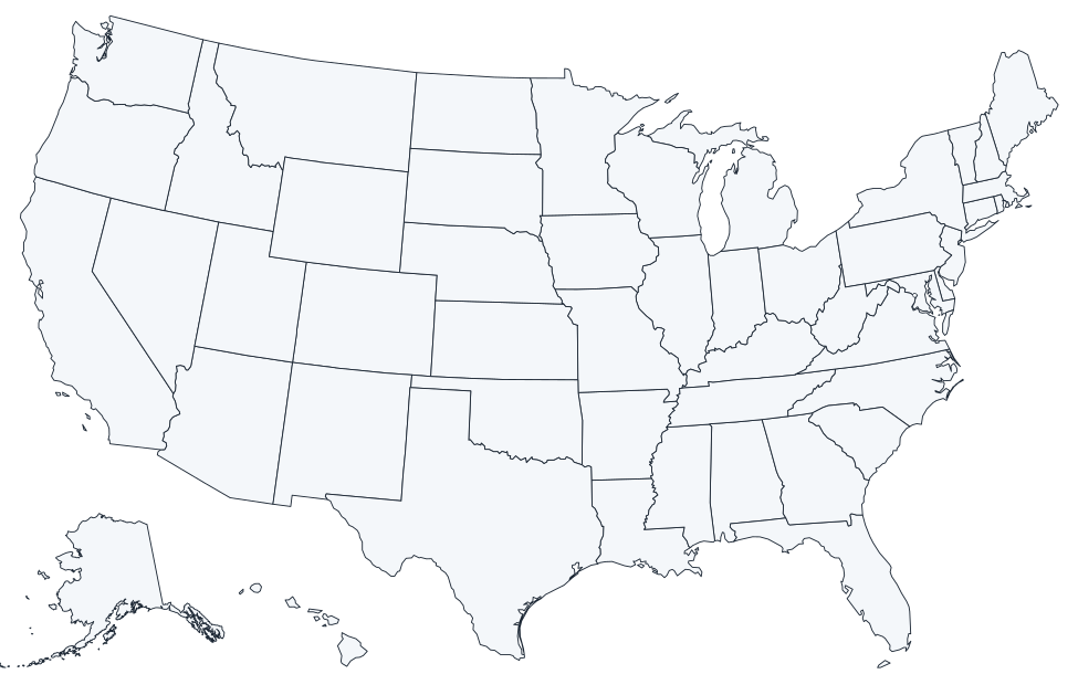
Each state carries a number from 1 to 50 (in alphabetical order). Students write the state name next to each number; the second page of the PDF is the answer key.
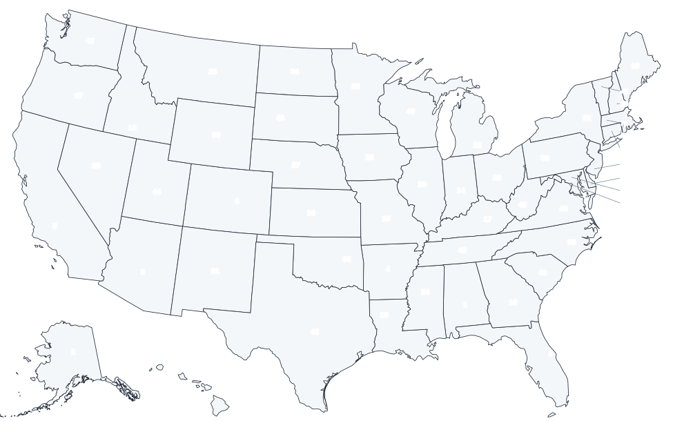
Answer key: numbered states
| # | State | # | State |
|---|---|---|---|
| 1 | Alabama | 26 | Montana |
| 2 | Alaska | 27 | Nebraska |
| 3 | Arizona | 28 | Nevada |
| 4 | Arkansas | 29 | New Hampshire |
| 5 | California | 30 | New Jersey |
| 6 | Colorado | 31 | New Mexico |
| 7 | Connecticut | 32 | New York |
| 8 | Delaware | 33 | North Carolina |
| 9 | Florida | 34 | North Dakota |
| 10 | Georgia | 35 | Ohio |
| 11 | Hawaii | 36 | Oklahoma |
| 12 | Idaho | 37 | Oregon |
| 13 | Illinois | 38 | Pennsylvania |
| 14 | Indiana | 39 | Rhode Island |
| 15 | Iowa | 40 | South Carolina |
| 16 | Kansas | 41 | South Dakota |
| 17 | Kentucky | 42 | Tennessee |
| 18 | Louisiana | 43 | Texas |
| 19 | Maine | 44 | Utah |
| 20 | Maryland | 45 | Vermont |
| 21 | Massachusetts | 46 | Virginia |
| 22 | Michigan | 47 | Washington |
| 23 | Minnesota | 48 | West Virginia |
| 24 | Mississippi | 49 | Wisconsin |
| 25 | Missouri | 50 | Wyoming |
Ways to use a blank US map
- Geography practice: label all 50 states from memory, then check against the labeled US map.
- Capitals drills: write each capital inside its state, then compare with the capitals map.
- Travel tracker: shade the states you have visited. Most people are surprised how many they are missing.
- Data maps: color states by population, election results, climate or any statistic for a school project.
- Region exercises: outline the four Census regions in different colors.
Printing tips
- Choose Landscape orientation and Fit to page (or 100% for the PDF).
- For a poster, print the PNG or SVG at a copy shop; the vector SVG stays sharp at any size.
- The outlines are dark gray on white, so they copy well on black-and-white printers and are easy to color with markers.
Frequently asked questions
Is there a blank map without state lines?
This page focuses on the 50-state version with borders, which is what most worksheets need. For individual states, every state page has its own blank outline.
Why are Alaska and Hawaii in the corner?
They are shown as insets so the whole country fits on one page. Neither is drawn in its true position, and Alaska is reduced in scale.
How are the states numbered?
Alphabetically: 1 is Alabama and 50 is Wyoming. The answer key above and on page 2 of the PDF lists them all.