Labeled US Map with State Names
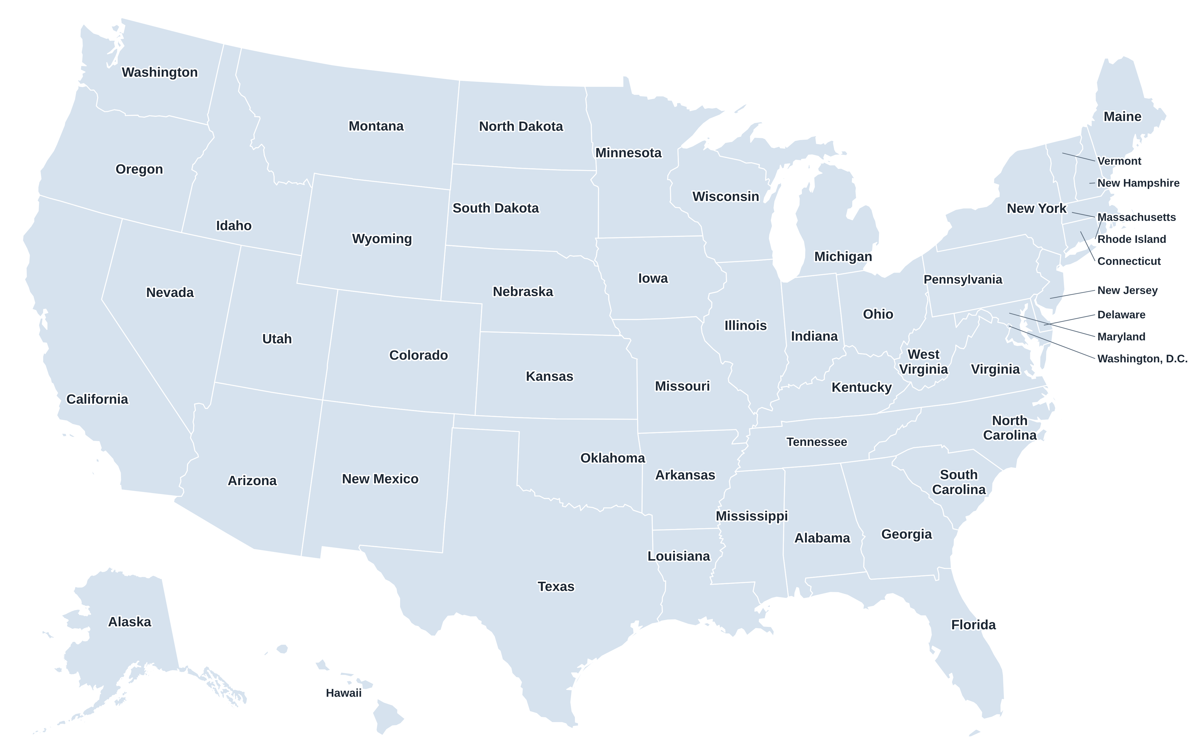
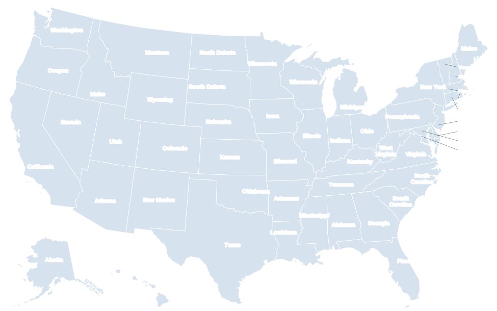
This labeled map of the United States shows the name of every state. The eight smallest Northeast states and Washington, D.C., are labeled with callout lines so every name stays readable, on screen and on paper.
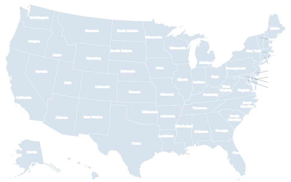
Zoom in on the interactive map to switch from abbreviations to full names on small screens. Click a state for its capital and population.
Download the labeled US map
Free to print for home and classroom use. The PDF is set up for US Letter paper in landscape; the PNG is 4,000 pixels wide; the SVG is a vector file you can edit in Illustrator, Inkscape or Figma.
State names by region
Northeast
Midwest
South
The small states labeled with callouts
Several East Coast states are too small to hold their names at national scale, so the map labels them in the Atlantic with leader lines. From north to south:
| State | Abbr. | Area (sq mi) | Size rank |
|---|---|---|---|
| Vermont | VT | 9,616 | 45th of 50 |
| New Hampshire | NH | 9,349 | 46th of 50 |
| Massachusetts | MA | 10,554 | 44th of 50 |
| Rhode Island | RI | 1,545 | 50th of 50 |
| Connecticut | CT | 5,543 | 48th of 50 |
| New Jersey | NJ | 8,723 | 47th of 50 |
| Delaware | DE | 2,489 | 49th of 50 |
| Maryland | MD | 12,406 | 42nd of 50 |
| Washington, D.C. | DC | 68 | federal district |
Tips for learning the state names
- Learn one region at a time. Start with the West, where the states are large and boxy, then the Midwest, the South and finally the crowded Northeast.
- Use shapes as hooks. Michigan’s Lower Peninsula looks like a mitten, Louisiana like a boot, Oklahoma like a saucepan, and Florida’s peninsula is unmistakable.
- Group the look-alikes. Vermont and New Hampshire are mirror-image wedges; North and South Dakota stack like bricks; Colorado and Wyoming are almost perfect rectangles.
- Anchor with landmarks. The Great Lakes outline Michigan, the Mississippi River runs along the borders of ten states, and the Four Corners join Utah, Colorado, Arizona and New Mexico.
- Test yourself. Print the blank US map or play the US map quiz until you can place all 50.
States with two-word names
Ten states have two-word names, which is why they often appear on two lines on a labeled map: New Hampshire, New Jersey, New Mexico, New York, North Carolina, North Dakota, Rhode Island, South Carolina, South Dakota, West Virginia. Their two-letter codes are on the state abbreviations page.
Frequently asked questions
Why is Alaska so small on the map?
To fit one page, Alaska is moved into an inset and shrunk to roughly 35% of its true scale. In reality it is more than twice the size of Texas.
Does the labeled map include Washington, D.C.?
Yes. Washington, D.C., is marked with a callout between Maryland and Virginia. It is a federal district, not a state.
Can I use this labeled map in a presentation or worksheet?
Yes, it is free for personal, educational and non-commercial use. Download the PNG for slides or the PDF for printing.