Pennsylvania State Map
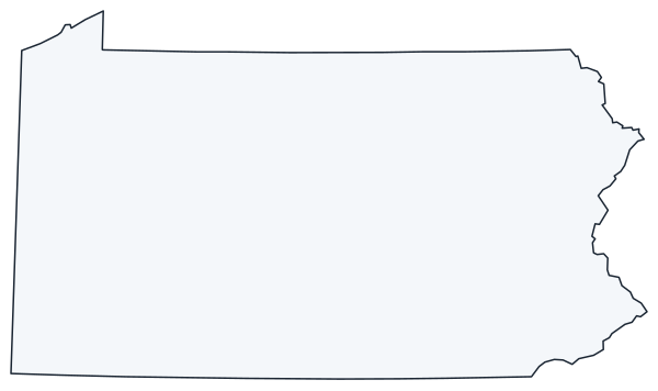
This Pennsylvania state map shows a Northeastern state between New York to the north and the Mason–Dixon line to the south, reaching from the Delaware River in the east to Ohio and a short Lake Erie shore in the west. The capital is Harrisburg; the largest city is Philadelphia.
The interactive map shows Pennsylvania’s largest cities (capital in red) on an OpenStreetMap base map. Turn on Show counties to see all county lines and hover for names.
Pennsylvania quick facts
| Capital | Harrisburg |
|---|---|
| Largest city | Philadelphia |
| Population (2020) | 13,002,700 (5th of 50) |
| Total area | 46,054 sq mi (33rd of 50) |
| Statehood | December 12, 1787 (2nd state) |
| Counties | 67 counties · County map |
| Abbreviation | PA (AP style: Pa.) |
| Region | Northeast (Middle Atlantic division) |
| Time zone | Eastern Time (ET) |
| Highest point | Mount Davis, 3,213 ft (Somerset County) |
| Borders | New York (north and northeast), New Jersey (east), Delaware and Maryland (south), West Virginia (south and southwest), Ohio (west), Lake Erie (northwest), with a water boundary with Ontario, Canada |
Where is Pennsylvania?
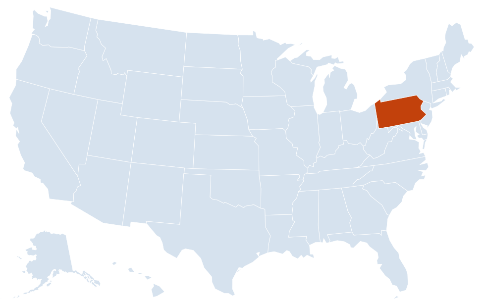
Pennsylvania is in the Northeast region of the United States. Neighboring states: Delaware, Maryland, New Jersey, New York, Ohio, West Virginia.
Largest cities in Pennsylvania
| Rank | City | Population (2020) |
|---|---|---|
| 1 | Philadelphia | 1,603,797 |
| 2 | Pittsburgh | 302,971 |
| 3 | Allentown | 125,845 |
| 4 | Reading | 95,112 |
| 5 | Erie | 94,831 |
| 6 | Scranton | 76,328 |
| 7 | Bethlehem | 75,781 |
| 8 | Lancaster | 58,039 |
| 9 | Harrisburg (capital) | 50,099 |
Philadelphia in the southeast and Pittsburgh in the southwest anchor the two largest metro areas at opposite ends of the state. Allentown and Bethlehem form the Lehigh Valley; Scranton and Wilkes-Barre are the hubs of the northeast.
Regions of Pennsylvania
The Appalachian Mountains cross Pennsylvania in a wide curve from the southwest to the northeast. Long, parallel ridges in the center separate the coastal lowlands of the southeast from the high, deeply cut plateau of the north and west.
- Philadelphia and the southeast: the Delaware Valley, including Philadelphia and its suburban counties of Bucks, Montgomery, Delaware and Chester. Independence National Historical Park and Valley Forge National Historical Park are here.
- Lehigh Valley: Allentown, Bethlehem and Easton along the Lehigh River near the New Jersey line.
- Pennsylvania Dutch Country: the farmland of Lancaster County and the surrounding area, known for its Amish and Mennonite communities, with Reading and York nearby.
- South Central: Harrisburg on the Susquehanna River, Hershey, Carlisle and Gettysburg, site of the 1863 Civil War battle, now Gettysburg National Military Park.
- Poconos and the northeast: the Pocono Mountains resort area, the Delaware Water Gap National Recreation Area, and the old anthracite coal cities of Scranton, Wilkes-Barre and Hazleton.
- Central Pennsylvania (Ridge and Valley): State College, home of Penn State, Altoona and Williamsport between long wooded ridges.
- Pennsylvania Wilds: the forested, thinly settled north-central counties, including Allegheny National Forest and the Pine Creek Gorge near Wellsboro.
- Pittsburgh and the southwest: steel-industry towns on the Allegheny Plateau and the Laurel Highlands, where Mount Davis, the state’s highest point at 3,213 ft, rises near the Maryland line.
- Erie and the northwest: the state’s only port on the Great Lakes, sheltered by the Presque Isle peninsula.
Rivers
The Delaware River forms the entire eastern border with New Jersey and part of the border with New York. The Susquehanna River flows south through Wilkes-Barre and Harrisburg to Chesapeake Bay. At Pittsburgh, the Allegheny and Monongahela rivers meet to form the Ohio River. Philadelphia sits where the Schuylkill River joins the Delaware.
Counties
Pennsylvania’s 67 counties range from Philadelphia County, which shares its boundaries with the city of Philadelphia, to rural counties in the Pennsylvania Wilds. Allegheny County surrounds Pittsburgh.
Major highways
- Pennsylvania Turnpike (I-76 and I-276): the main east–west toll road, from the Ohio line past Pittsburgh, Breezewood, Harrisburg and Valley Forge to the New Jersey Turnpike.
- I-80: across the northern half of the state, from Ohio near Sharon past DuBois, Bloomsburg and the Poconos to the Delaware Water Gap and New Jersey.
- I-81: from Maryland through Chambersburg, Carlisle, Harrisburg, Hazleton, Wilkes-Barre and Scranton to New York toward Binghamton.
- I-95: along the Delaware River through Philadelphia between Delaware and New Jersey.
- I-79: north–south in the west, from West Virginia through Washington and the Pittsburgh area to Erie.
- I-78: from I-81 east of Harrisburg through Allentown to New Jersey toward New York City.
- I-70: from Wheeling, West Virginia, past Washington to New Stanton, then on the Turnpike to Breezewood and south into Maryland.
- I-476: the Blue Route around Philadelphia and the Turnpike’s Northeast Extension to Allentown and Scranton.
- I-90: a short stretch past Erie between Ohio and New York.
Printable Pennsylvania maps
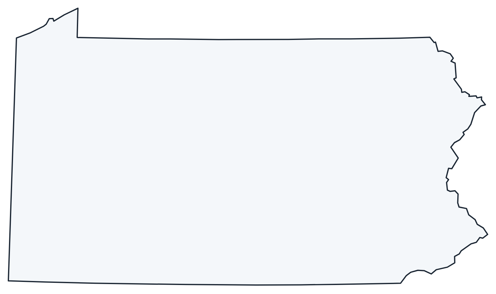
A blank outline of Pennsylvania for coloring, labeling or school projects, and a locator map showing the state within the US. Free for personal and classroom use.
For all 67 counties with county seats and 2020 population, and a printable labeled map, see the Pennsylvania county map.
Frequently asked questions
What is the capital of Pennsylvania?
Harrisburg, on the Susquehanna River. It has been the capital since 1812; Philadelphia is the largest city, but not the capital.
How many counties are in Pennsylvania?
There are 67 counties. Philadelphia County is the most populous; Lycoming County, around Williamsport, is the largest by area.
What time zone is Pennsylvania in?
All of Pennsylvania uses Eastern Time and observes daylight saving time.
Is Pennsylvania a state or a commonwealth?
Both. Its official name is the Commonwealth of Pennsylvania, but it is a state with the same status as the other 49; Kentucky, Massachusetts and Virginia also use the title.
Neighboring and nearby states
Delaware · Maryland · New Jersey · New York · Ohio · West Virginia · Also in the Middle Atlantic division: New Jersey, New York
Back to the US state map or browse all 50 state maps.
Sources: U.S. Census Bureau (2020 Census, boundaries), USGS, National Park Service. Last reviewed October 2026.