Oklahoma State Map
This Oklahoma state map shows a south-central state north of the Red River and Texas, with a long, narrow Panhandle reaching west to New Mexico. Oklahoma City, near the center of the state, is both the capital and the largest city.
The interactive map shows Oklahoma’s largest cities (capital in red) on an OpenStreetMap base map. Turn on Show counties to see all county lines and hover for names.
Oklahoma quick facts
| Capital | Oklahoma City |
|---|---|
| Largest city | Oklahoma City |
| Population (2020) | 3,959,353 (28th of 50) |
| Total area | 69,899 sq mi (20th of 50) |
| Statehood | November 16, 1907 (46th state) |
| Counties | 77 counties · County map |
| Abbreviation | OK (AP style: Okla.) |
| Region | South (West South Central division) |
| Time zone | Central Time (CT) |
| Highest point | Black Mesa, 4,973 ft (Cimarron County, Panhandle) |
| Borders | Kansas, Colorado (north); Missouri, Arkansas (east); Texas (south and west); New Mexico (west) |
Largest cities in Oklahoma
| Rank | City | Population (2020) |
|---|---|---|
| 1 | Oklahoma City (capital) | 681,054 |
| 2 | Tulsa | 413,066 |
| 3 | Norman | 128,026 |
| 4 | Broken Arrow | 113,540 |
| 5 | Edmond | 94,428 |
| 6 | Lawton | 90,381 |
| 7 | Moore | 62,793 |
| 8 | Midwest City | 58,409 |
| 9 | Enid | 51,308 |
| 10 | Stillwater | 48,394 |
Most Oklahomans live in two metro areas about 100 miles apart: Oklahoma City (with Norman, Edmond, Moore and Midwest City) and Tulsa (with Broken Arrow). Lawton is the main city of the southwest, Enid of the northwest.
Regions of Oklahoma
Oklahoma rises gradually from the forested, wetter southeast to the dry, treeless High Plains of the Panhandle. Most of the state drains east toward the Mississippi through the Arkansas and Red rivers.
The Panhandle
A strip about 34 miles wide and 166 miles long between Kansas and Texas, made up of Cimarron, Texas and Beaver counties. It touches Colorado and New Mexico at its western end, where Black Mesa reaches 4,973 ft, the state’s highest point. Guymon and Boise City are the main towns.
Western Oklahoma and the Red Beds plains
Wheat and cattle country with red soils and gypsum hills, around Woodward, Elk City, Clinton and Altus. The Wichita Mountains rise from the plains near Lawton and Fort Sill, home of the Wichita Mountains Wildlife Refuge and its free-roaming bison.
Central Oklahoma
The Oklahoma City metro area sits on rolling prairie along the North Canadian River. The Cross Timbers, a belt of post oak and blackjack oak woodland, runs north–south through the center of the state between the prairie and the eastern forests.
Green Country (northeast)
Tulsa, the Arkansas River valley and the western edge of the Ozark Plateau. The region holds large reservoirs such as Grand Lake o’ the Cherokees and Lake Tenkiller. Tahlequah is the capital of the Cherokee Nation. The tallgrass prairie of Osage County, the state’s largest county, lies northwest of Tulsa.
Southeast and Kiamichi Country
The forested Ouachita Mountains and Kiamichi Mountains extend west from Arkansas into the southeast, toward Talihina, Idabel and Broken Bow. The Arbuckle Mountains near Ardmore and Sulphur include Chickasaw National Recreation Area and Turner Falls.
Rivers and lakes
- Red River: forms nearly all of the southern border with Texas.
- Arkansas River: enters from Kansas and flows through Tulsa and Muskogee into Arkansas; the McClellan–Kerr Arkansas River Navigation System links the Tulsa Port of Catoosa to the Mississippi River.
- Canadian and Cimarron rivers: cross the state from west to east to join the Arkansas.
- Lake Texoma and Lake Eufaula: two of the largest reservoirs; Lake Texoma lies on the Red River on the Texas border.
Major highways
- I-35: north–south through the center, from the Kansas line via Perry, Edmond, Oklahoma City, Norman and Ardmore to Texas toward Dallas–Fort Worth.
- I-40: east–west from Texas through Elk City, Clinton, Oklahoma City, Henryetta and Sallisaw to Fort Smith, Arkansas; it parallels much of old Route 66 in the west.
- I-44: from Wichita Falls, Texas, through Lawton to Oklahoma City, then the Turner Turnpike to Tulsa and the Will Rogers Turnpike to Joplin, Missouri.
- I-235, I-240 and I-244: urban routes in Oklahoma City and Tulsa.
- US 69 and US 75: from the Tulsa and Muskogee area south toward McAlester, Durant and Texas; the Indian Nation Turnpike also crosses the southeast.
- US 412: east–west across the north, including the Cimarron Turnpike between I-35 and Tulsa.
- US 54: the main diagonal route across the Panhandle, through Guymon between Kansas and Texas.
Printable Oklahoma maps
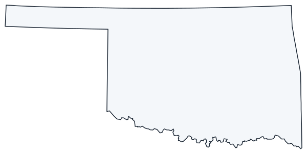
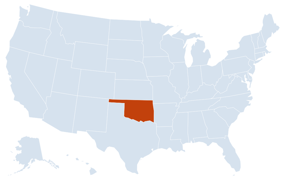
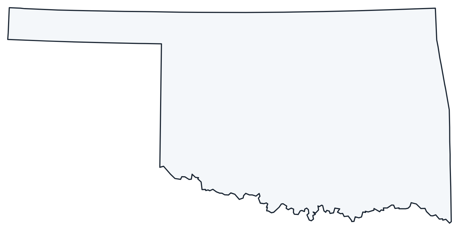
A blank outline of Oklahoma for coloring, labeling or school projects, and a locator map showing the state within the US. Free for personal and classroom use.
For all 77 counties with county seats and 2020 population, and a printable labeled map, see the Oklahoma county map.
Frequently asked questions
What is the capital of Oklahoma?
Oklahoma City, which is also the largest city. The capital moved there from Guthrie in 1910.
How many counties are in Oklahoma?
There are 77 counties. Oklahoma County, which includes most of Oklahoma City, is the most populous; Osage County is the largest by area.
What time zone is Oklahoma in?
Oklahoma uses Central Time and observes daylight saving time.
Why does Oklahoma have a panhandle?
Texas entered the Union as a slave state and, under the Missouri Compromise line of 36°30′, gave up its claim north of that line in 1850. Kansas (37th parallel) and New Mexico (103rd meridian) set the other sides, leaving an unorganized “No Man’s Land” that became part of Oklahoma Territory in 1890.
Neighboring and nearby states
Arkansas · Colorado · Kansas · Missouri · New Mexico · Texas · Also in the West South Central division: Arkansas, Louisiana, Texas
Back to the US state map or browse all 50 state maps.
Sources: U.S. Census Bureau (2020 Census, boundaries), USGS, National Park Service. Last reviewed October 2026.