Alabama State Map
This Alabama state map shows a Deep South state that runs from the Tennessee Valley in the north to a short Gulf coast at Mobile Bay, between Mississippi and Georgia. Its capital is Montgomery and its largest city is Huntsville.
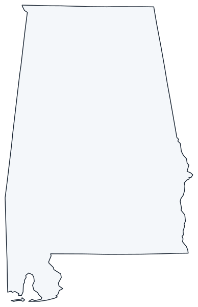
The interactive map shows Alabama’s largest cities (capital in red) on an OpenStreetMap base map. Turn on Show counties to see all county lines and hover for names.
Alabama quick facts
| Capital | Montgomery |
|---|---|
| Largest city | Huntsville |
| Population (2020) | 5,024,279 (24th of 50) |
| Total area | 52,420 sq mi (30th of 50) |
| Statehood | December 14, 1819 (22nd state) |
| Counties | 67 counties · County map |
| Abbreviation | AL (AP style: Ala.) |
| Region | South (East South Central division) |
| Time zone | Central Time (CT) |
| Highest point | Cheaha Mountain, about 2,400 ft |
| Borders | Tennessee (north), Georgia (east), Florida (south), Mississippi (west), the Gulf (south, at Mobile Bay) |
Where is Alabama?
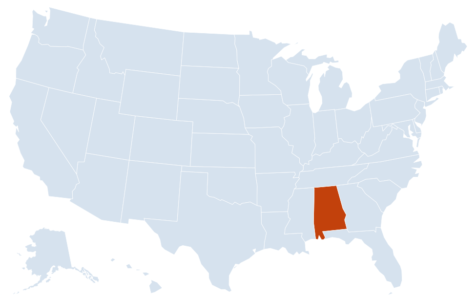
Alabama is in the South region of the United States. Neighboring states: Florida, Georgia, Mississippi, Tennessee.
Largest cities in Alabama
| Rank | City | Population (2020) |
|---|---|---|
| 1 | Huntsville | 215,006 |
| 2 | Birmingham | 200,733 |
| 3 | Montgomery (capital) | 200,603 |
| 4 | Mobile | 187,041 |
| 5 | Tuscaloosa | 99,600 |
| 6 | Hoover | 92,606 |
| 7 | Auburn | 76,143 |
| 8 | Dothan | 71,072 |
| 9 | Decatur | 57,938 |
| 10 | Madison | 56,933 |
The three largest cities are close in size: Huntsville, Birmingham and Montgomery are separated by about 14,000 people. Birmingham’s metro area is still the state’s largest.
Regions of Alabama
Alabama is about 330 miles from the Tennessee line to the Gulf. The land rises from a low coastal plain in the south to the southern end of the Appalachians in the northeast.
Tennessee Valley
The Tennessee River loops across the top of the state through Florence, Muscle Shoals, Decatur and Guntersville. TVA dams turned it into a chain of lakes, including Wheeler, Wilson and Guntersville. Huntsville, with neighboring Madison, is home to NASA’s Marshall Space Flight Center and the Army’s Redstone Arsenal.
Appalachian Highlands
Sand Mountain and Lookout Mountain run southwest from the Georgia and Tennessee lines. Little River Canyon National Preserve, near Fort Payne, cuts through the top of Lookout Mountain. Farther south, the Talladega Mountains hold Cheaha Mountain, the state’s highest point, inside Cheaha State Park and Talladega National Forest.
Birmingham and the Ridge and Valley
Iron ore, coal and limestone found side by side made Birmingham a steel city after the Civil War. Today the metro area spreads along I-20, I-59 and I-65 to Hoover, Bessemer and Trussville. The Birmingham Civil Rights National Monument covers sites of the 1963 campaign.
The Black Belt
A band of dark, fertile prairie soil crosses central Alabama from Mississippi toward Georgia, through Selma, Demopolis and the Montgomery area. It was the heart of the cotton economy and later of the civil rights movement: the Selma to Montgomery National Historic Trail follows the 1965 voting rights march along US 80, and Tuskegee has two national historic sites.
Wiregrass and the Coastal Plain
Southeast Alabama, around Dothan and Enterprise, is flat farm country known for peanuts. The Chattahoochee River forms the southern half of the border with Georgia.
Mobile Bay and the Gulf Coast
The Alabama and Tombigbee rivers join to form the Mobile River, which spreads into the Mobile–Tensaw Delta before reaching Mobile Bay. The Port of Mobile sits at the head of the bay; Dauphin Island guards its mouth. East of the bay, Gulf Shores and Orange Beach line the state’s short stretch of Gulf beaches next to the Florida Panhandle.
Rivers of Alabama
- Tennessee River: enters from Tennessee, crosses the north and leaves toward Mississippi and Tennessee near the state’s northwest corner.
- Coosa and Tallapoosa rivers: flow down from Georgia and meet near Wetumpka, just north of Montgomery, to form the Alabama River.
- Black Warrior and Tombigbee rivers: drain the west and meet near Demopolis; the Tennessee–Tombigbee Waterway links the Tombigbee to the Tennessee River.
- Chattahoochee River: part of the Georgia border, past Phenix City and Eufaula.
Major highways
- I-65: the main north–south route, from Mobile through Montgomery, Birmingham and Decatur to the Tennessee line toward Nashville.
- I-20: from the Mississippi line (shared with I-59) through Tuscaloosa and Birmingham, then east past Anniston toward Atlanta.
- I-59: northeast from Birmingham through Gadsden and Fort Payne toward Chattanooga.
- I-85: from Montgomery through Auburn and Opelika into Georgia.
- I-10: crosses the coast through Mobile, under the Mobile River and over Mobile Bay, between Mississippi and Florida.
- I-22 and I-565: Birmingham to Jasper and Memphis; and the spur from I-65 near Decatur to Huntsville.
- US 231 and US 431: long north–south routes through Dothan, Montgomery and Huntsville, and through Eufaula, Phenix City, Anniston and Gadsden.
Printable Alabama maps
A blank outline of Alabama for coloring, labeling or school projects, and a locator map showing the state within the US. Free for personal and classroom use.
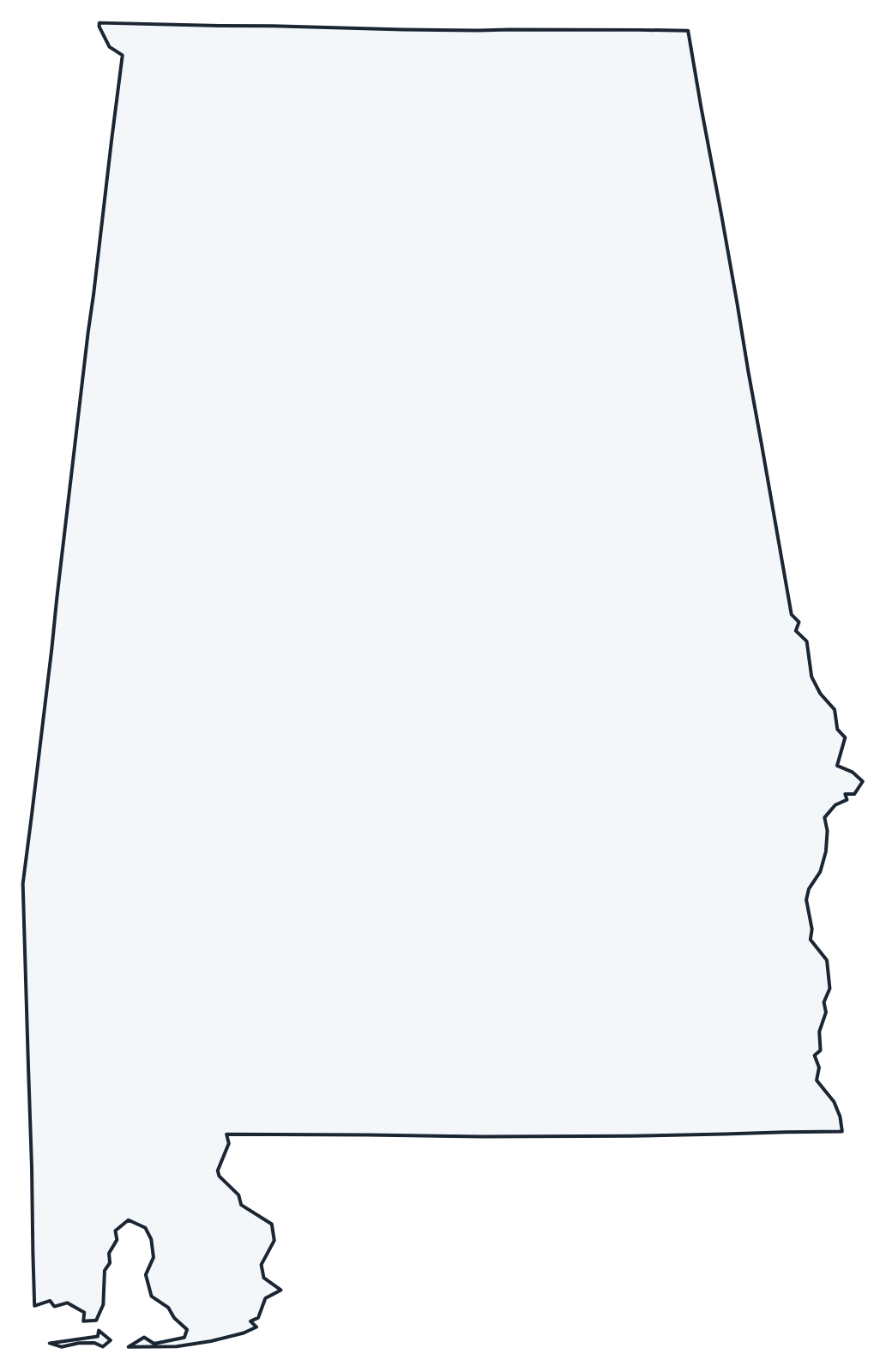
For all 67 counties with county seats and 2020 population, and a printable labeled map, see the Alabama county map.
For practice, label the capital and the largest cities on the outline, then check your work against the US map with capitals or try the US map quiz.
Frequently asked questions
What is the capital of Alabama?
Montgomery, on the Alabama River in the central part of the state. It was also the first capital of the Confederacy in 1861.
How many counties are in Alabama?
There are 67 counties. Jefferson County, which includes Birmingham, is the most populous; Baldwin County, on the east side of Mobile Bay, is the largest by area.
What time zone is Alabama in?
Alabama is officially on Central Time and observes daylight saving time. A few towns next to Columbus, Georgia, including Phenix City, unofficially follow Eastern Time.
Is Birmingham still the largest city in Alabama?
No. In the 2020 Census Huntsville counted 215,006 people and passed Birmingham (200,733) for the first time. Birmingham still has the largest metro area.
Neighboring and nearby states
Florida · Georgia · Mississippi · Tennessee · Also in the East South Central division: Kentucky, Mississippi, Tennessee
Back to the US state map or browse all 50 state maps.
Sources: U.S. Census Bureau (2020 Census, boundaries), USGS. Last reviewed October 2026.