Massachusetts State Map
Massachusetts is the most populous state in New England, reaching from the Berkshire hills on the New York line east to Boston and the hook of Cape Cod in the Atlantic. Boston is both its capital and its largest city.
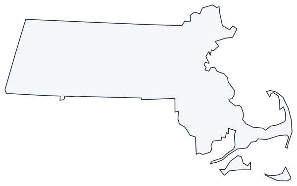
The interactive map shows Massachusetts’ largest cities (capital in red) on an OpenStreetMap base map. Turn on Show counties to see all county lines and hover for names.
Massachusetts quick facts
| Capital | Boston |
|---|---|
| Largest city | Boston |
| Population (2020) | 7,029,917 (15th of 50) |
| Total area | 10,554 sq mi (44th of 50) |
| Statehood | February 6, 1788 (6th state) |
| Counties | 14 counties · County map |
| Abbreviation | MA (AP style: Mass.) |
| Region | Northeast (New England division) |
| Time zone | Eastern Time (ET) |
| Highest point | Mount Greylock, about 3,491 ft |
| Borders | New Hampshire and Vermont (north), New York (west), Connecticut and Rhode Island (south), Atlantic Ocean (east) |
Where is Massachusetts?
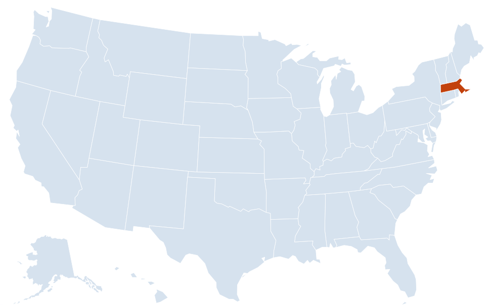
Massachusetts is in the Northeast region of the United States. Neighboring states: Connecticut, New Hampshire, New York, Rhode Island, Vermont.
Largest cities in Massachusetts
| Rank | City | Population (2020) |
|---|---|---|
| 1 | Boston (capital) | 675,647 |
| 2 | Worcester | 206,518 |
| 3 | Springfield | 155,929 |
| 4 | Cambridge | 118,403 |
| 5 | Lowell | 115,554 |
| 6 | Brockton | 105,643 |
| 7 | Quincy | 101,636 |
| 8 | Lynn | 101,253 |
| 9 | New Bedford | 101,079 |
Nine Massachusetts cities passed 100,000 residents in the 2020 Census. Six of them (Boston, Cambridge, Lowell, Brockton, Quincy and Lynn) are in the Boston metropolitan area.
Regions of Massachusetts
The land rises from the sandy coastal plain in the east to rolling uplands in the center and the Berkshire Hills in the west. Most people live in the eastern third of the state, within commuting range of Boston.
- Greater Boston: Boston, Cambridge, Quincy and dozens of surrounding cities and towns around Boston Harbor and the Charles River.
- North Shore and Merrimack Valley: Lynn, Salem, Gloucester and the Cape Ann coast, plus the mill cities of Lowell, Lawrence and Haverhill on the Merrimack River.
- South Shore and South Coast: Plymouth, where the Pilgrims landed in 1620, and the port cities of New Bedford and Fall River on Buzzards Bay and Mount Hope Bay.
- Cape Cod and the Islands: a curling peninsula, cut off from the mainland by the Cape Cod Canal, ending at Provincetown. Cape Cod National Seashore protects much of its outer shore. Martha’s Vineyard and Nantucket lie to the south.
- Central Massachusetts: Worcester and Fitchburg, with the Quabbin Reservoir, the state’s largest body of fresh water and a main water source for Greater Boston.
- Pioneer Valley: the Connecticut River valley, with Springfield, Holyoke, Northampton and the college town of Amherst.
- The Berkshires: the hilly western end of the state around Pittsfield, Lenox and North Adams, including Mount Greylock, the highest point in Massachusetts.
Rivers and coastline
The Connecticut River flows south through the Pioneer Valley into Connecticut. The Merrimack River enters from New Hampshire and powered the textile mills of Lowell and Lawrence before reaching the sea at Newburyport. The Charles River separates Boston from Cambridge. On the coast, Massachusetts Bay curves from Cape Ann to Cape Cod, with Boston Harbor and its islands at the center, and Cape Cod Bay sits inside the hook of the Cape. Buzzards Bay lies on the other side of the Cape Cod Canal.
Counties and towns
Massachusetts has 14 counties, but local government is run mainly by its 351 cities and towns. Several county governments, including those of Middlesex, Worcester and Hampden counties, were abolished in the late 1990s; the counties still exist as geographic units and court districts. Dukes County (Martha’s Vineyard) and Nantucket County are both made up of islands.
Major highways
- I-90 (Massachusetts Turnpike): east–west across the whole state, from the New York line in the Berkshires through Springfield and Worcester to downtown Boston and Logan Airport.
- I-95 and Route 128: a semicircle around Boston through the inner suburbs, continuing north toward New Hampshire and south toward Providence, Rhode Island.
- I-495: an outer beltway from Salisbury near the New Hampshire line through Lowell and Marlborough to Wareham, near Cape Cod.
- I-93: from I-95 in Canton through downtown Boston and north to New Hampshire.
- I-91: north–south through the Pioneer Valley, from Connecticut through Springfield, Northampton and Greenfield into Vermont.
- I-195 and I-84: I-195 links Providence with Fall River, New Bedford and Wareham; I-84 runs from Sturbridge into Connecticut toward Hartford.
- US 6 and Route 2: US 6 runs the length of Cape Cod to Provincetown; Route 2, including the scenic Mohawk Trail, crosses the north of the state to North Adams.
Printable Massachusetts maps
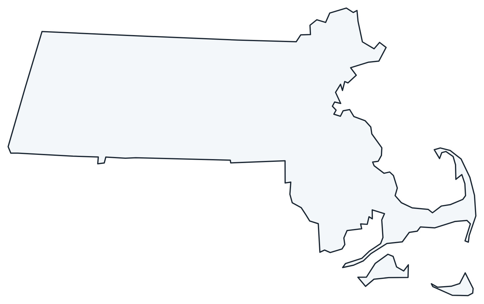
A blank outline of Massachusetts for coloring, labeling or school projects, and a locator map showing the state within the US. Free for personal and classroom use.
For all 14 counties with county seats and 2020 population, and a printable labeled map, see the Massachusetts county map.
Frequently asked questions
What is the capital of Massachusetts?
Boston, which is also the largest city. The Massachusetts State House sits on Beacon Hill, facing Boston Common.
How many counties are in Massachusetts?
There are 14 counties. Middlesex County, which includes Cambridge and Lowell, is the most populous; Worcester County is the largest by area.
What time zone is Massachusetts in?
All of Massachusetts uses Eastern Time and observes daylight saving time.
Is Massachusetts a state or a commonwealth?
Both. Its official name is the Commonwealth of Massachusetts, but legally it is a state like any other. Kentucky, Pennsylvania and Virginia also call themselves commonwealths.
Neighboring and nearby states
Connecticut · New Hampshire · New York · Rhode Island · Vermont · Also in the New England division: Connecticut, Maine, New Hampshire, Rhode Island, Vermont
Back to the US state map or browse all 50 state maps.
Sources: U.S. Census Bureau (2020 Census, boundaries), USGS. Last reviewed October 2026.