Massachusetts County Map
Massachusetts has 14 counties. Middlesex County is the most populous, with 1,632,002 residents in 2020, and Worcester County is the largest by land area at 1,510.7 sq mi. Boston, the capital, is the seat of Suffolk County.
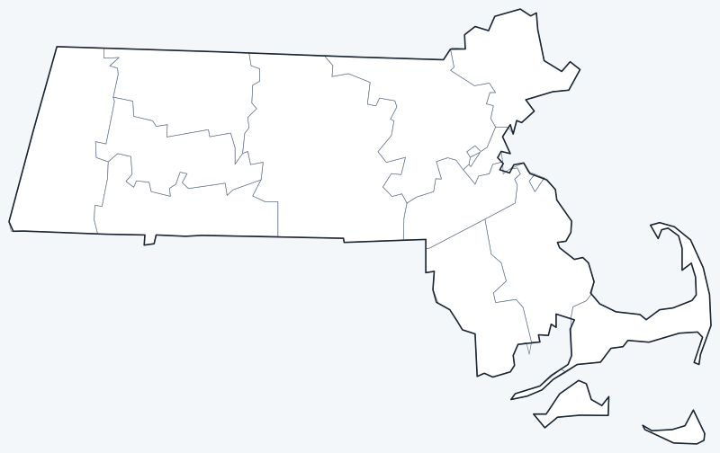
County lines are switched on when the interactive map loads. Hover over a county to see its name, or untick Show counties to hide them.
List of Massachusetts counties
| County | County seat | Population (2020) | Land area (sq mi) |
|---|---|---|---|
| Barnstable County | Barnstable | 228,996 | 394.2 |
| Berkshire County | Pittsfield | 129,026 | 926.9 |
| Bristol County | Taunton | 579,200 | 553.1 |
| Dukes County | Edgartown | 20,600 | 103.2 |
| Essex County | Salem and Lawrence | 809,829 | 492.5 |
| Franklin County | Greenfield | 71,029 | 699.2 |
| Hampden County | Springfield | 465,825 | 617.0 |
| Hampshire County | Northampton | 162,308 | 527.2 |
| Middlesex County | Lowell and Cambridge | 1,632,002 | 817.9 |
| Nantucket County | Nantucket | 14,255 | 46.2 |
| Norfolk County | Dedham | 725,981 | 396.1 |
| Plymouth County | Plymouth and Brockton | 530,819 | 658.5 |
| Suffolk County | Boston | 797,936 | 58.3 |
| Worcester County | Worcester | 862,111 | 1,510.7 |
Counties with two seats split their courts and offices between two places.
Most populous counties
The five most populous counties are home to 68.7% of Massachusetts’s 7,029,917 residents (2020 Census).
- Middlesex County (Lowell and Cambridge): 1,632,002, 23.2% of the state
- Worcester County (Worcester): 862,111, 12.3% of the state
- Essex County (Salem and Lawrence): 809,829, 11.5% of the state
- Suffolk County (Boston): 797,936, 11.4% of the state
- Norfolk County (Dedham): 725,981, 10.3% of the state
Middlesex County, which takes in Cambridge, Lowell and many suburbs west and north of Boston, has nearly twice the population of second-place Worcester County. Nantucket County is the least populous, with 14,255 residents.
Largest and smallest counties
Worcester County, in the middle of the state, is the largest county at 1,510.7 sq mi of land, followed by Berkshire County (926.9 sq mi) in the far west. Nantucket County is the smallest, with 46.2 sq mi of land, and Suffolk County is next at 58.3 sq mi. Water changes the picture on the coast: Barnstable County covers 1,305.5 sq mi in total but only 394.2 sq mi of land.
How counties work in Massachusetts
Local government in Massachusetts is run mainly by its 351 cities and towns, not by counties. Since 1997 the state has abolished the county governments of Berkshire, Essex, Franklin, Hampden, Hampshire, Middlesex and Worcester counties; these counties still exist as geographic units and court districts, and their sheriffs and registries of deeds still operate.
- Suffolk County is made up of Boston, Chelsea, Revere and Winthrop, and the City of Boston handles most county matters.
- Nantucket County covers the same island area as the Town of Nantucket.
- Dukes County is Martha’s Vineyard plus the Elizabeth Islands.
- Barnstable County is Cape Cod.
Some counties list two seats (shire towns), where county courts and offices are split between two places: Essex County (Salem and Lawrence), Middlesex County (Lowell and Cambridge), Plymouth County (Plymouth and Brockton).
Printable Massachusetts county maps
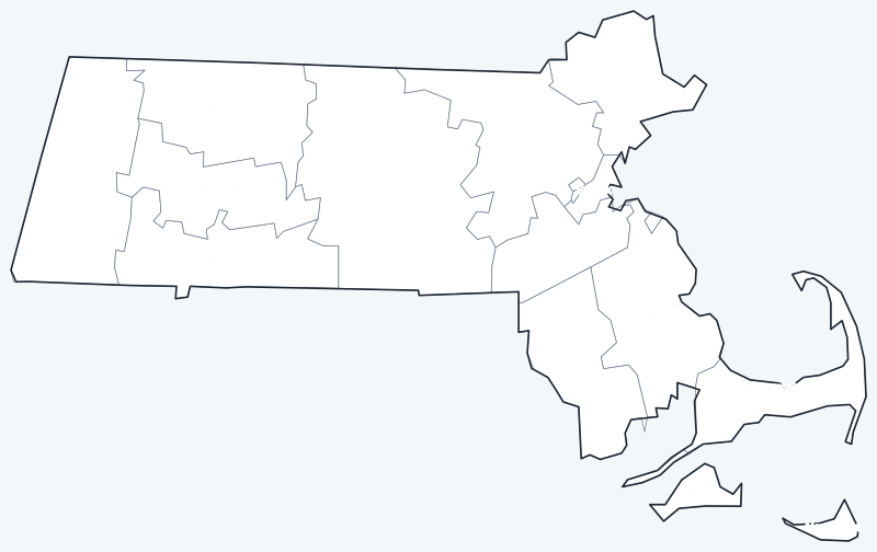
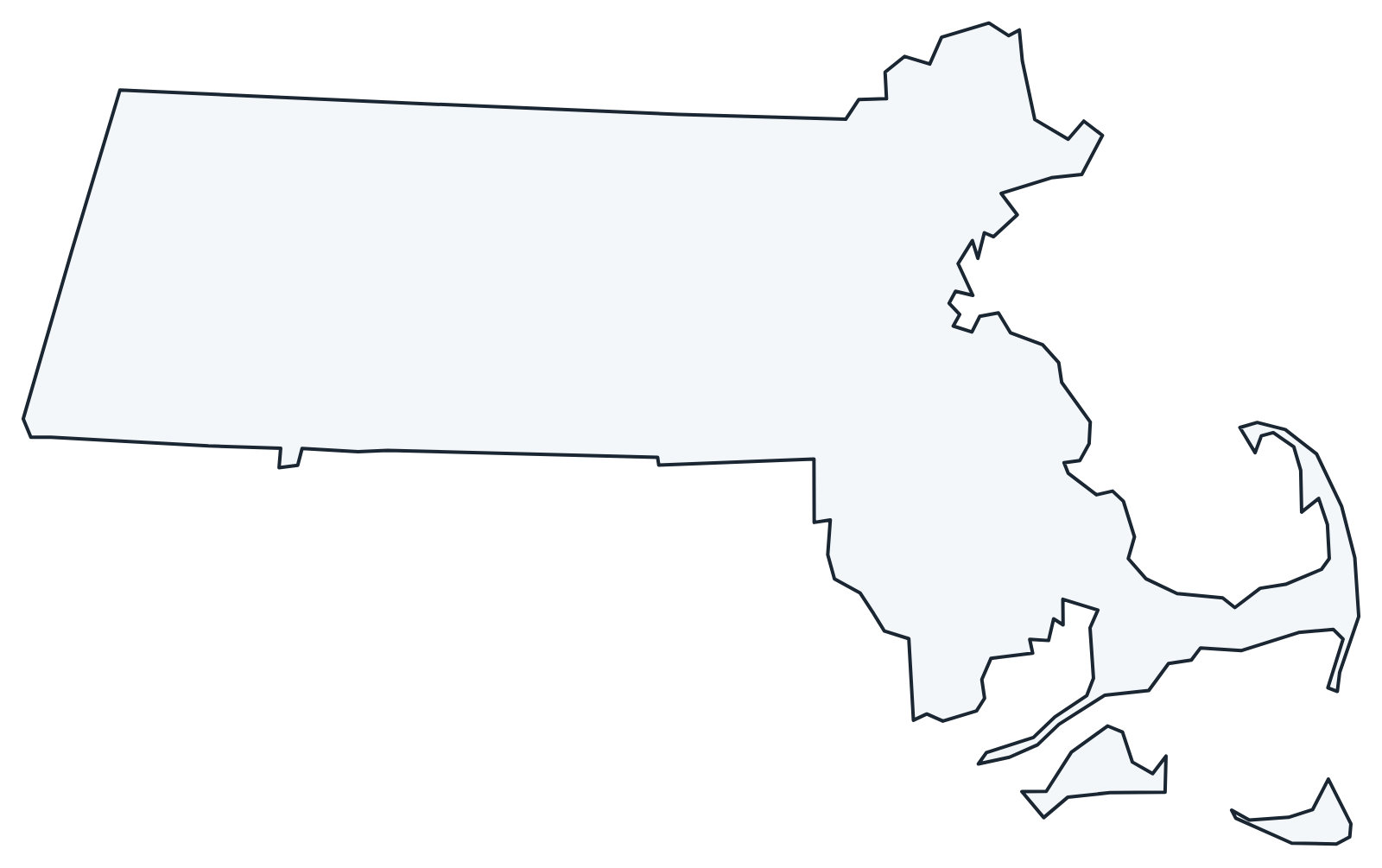
Print the labeled map as a reference or the blank map for county quizzes and coloring; both are SVG files that print sharply at any size.
Frequently asked questions
How many counties are in Massachusetts?
Massachusetts has 14 counties. Several no longer have a county government, but all 14 remain official geographic units.
What is the largest county in Massachusetts?
Worcester County, with 1,510.7 sq mi of land. Middlesex County is the largest by population.
What is the most populous county in Massachusetts?
Middlesex County, with 1,632,002 residents in 2020, or 23.2% of the state.
What county is Boston in?
Boston, the state capital, is in Suffolk County and is its county seat. Suffolk County had 797,936 residents in 2020.
More Massachusetts and nearby maps
Back to the Massachusetts state map for cities, highways and geography.
Neighboring county maps: Connecticut county map · New Hampshire county map · New York county map · Rhode Island county map · Vermont county map
Browse all 50 state maps.
Sources: U.S. Census Bureau (2020 Census, 2020 Gazetteer, boundaries); county seats from Wikipedia county lists cross-checked with Wikidata. Last reviewed October 2026.