Rhode Island County Map
Rhode Island has 5 counties, and none of them has a county government. Providence County, which contains the capital, Providence, is both the most populous, with 660,741 people in 2020, and the largest, with 409.5 sq mi of land.
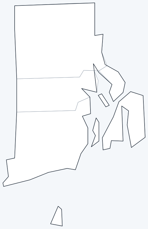
County lines are switched on when the interactive map loads, along with Rhode Island’s largest cities (capital in red). Hover a county to see its name, or untick Show counties to hide them.
List of Rhode Island counties
Rhode Island has no county seats because it has no county government; see below.
| County | County seat | Population (2020) | Land area (sq mi) |
|---|---|---|---|
| Bristol County | — | 50,793 | 24.1 |
| Kent County | — | 170,363 | 168.6 |
| Newport County | — | 85,643 | 102.4 |
| Providence County | — | 660,741 | 409.5 |
| Washington County | — | 129,839 | 329.3 |
Most populous counties
Rhode Island had 1,097,379 residents in 2020. Here are all five counties by population:
- Providence County: 660,741 (60.2% of the state)
- Kent County: 170,363 (15.5% of the state)
- Washington County: 129,839 (11.8% of the state)
- Newport County: 85,643 (7.8% of the state)
- Bristol County: 50,793 (4.6% of the state)
Providence County alone holds 60.2% of the state’s people. It includes Providence, Cranston, Pawtucket, East Providence and Woonsocket. Bristol County, on the east side of Narragansett Bay, is the least populous with 50,793 residents.
Largest and smallest counties
Providence County is the largest county by land area, at 409.5 sq mi, followed by Washington County (329.3 sq mi), Kent County (168.6 sq mi) and Newport County (102.4 sq mi). Bristol County is the smallest, with 24.1 sq mi of land, making it one of the smallest counties in the United States.
Water makes up much of Newport County. It covers 313.6 sq mi in total but only 102.4 sq mi of land, because its boundaries take in a large part of Narragansett Bay.
Why Rhode Island counties have no seats
Rhode Island has had no county government since 1842. There are no county officials, county taxes or county seats, which is why the County seat column above shows a dash. Local services are provided by the state and by its 39 cities and towns.
The counties still exist as geographic and statistical units. The Census Bureau reports data for them, and the state court system uses them as divisions. Washington County is widely known as South County.
Printable Rhode Island county maps
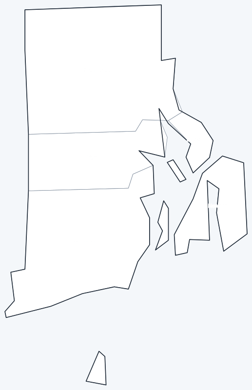
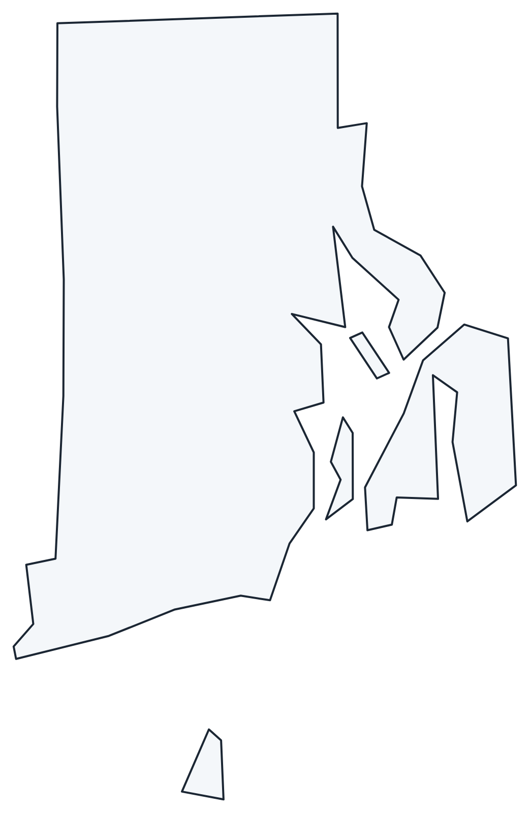
Download the labeled map with every county name, or the blank version for quizzes and coloring; both are SVG files that print sharply at any size.
Frequently asked questions
How many counties are in Rhode Island?
There are 5: Bristol, Kent, Newport, Providence and Washington. None has a county government.
What is the largest county in Rhode Island?
Providence County, with 409.5 sq mi of land and 660,741 residents in 2020. It is the largest by both area and population.
What is the smallest county in Rhode Island?
Bristol County, with 24.1 sq mi of land and 50,793 residents in 2020.
Do Rhode Island counties have county seats?
No. With no county government since 1842, there are no county seats. Services are run by the state and the 39 cities and towns.
More maps
Back to the Rhode Island state map. Neighboring states: Connecticut county map · Massachusetts county map · New York county map.
Browse all 50 state maps.
Sources: U.S. Census Bureau (2020 Census, 2020 Gazetteer, boundaries). Last reviewed October 2026.