New Hampshire County Map
New Hampshire has 10 counties. Hillsborough County, home to Manchester and Nashua, is the most populous with 422,937 residents in 2020, and Coos County in the far north is the largest by land area at 1,794.6 sq mi. The capital, Concord, is the county seat of Merrimack County.
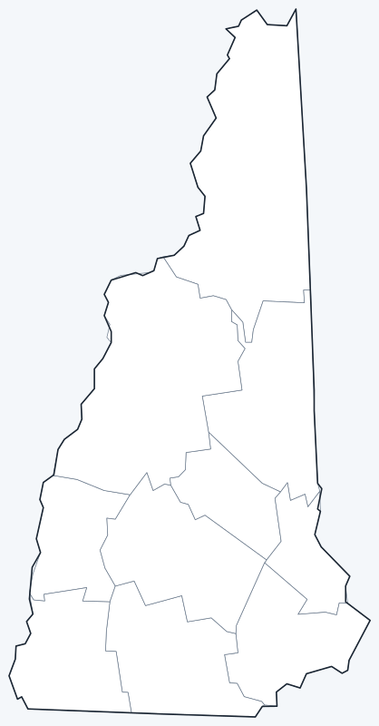
County lines are switched on when the interactive map loads. Hover over a county to see its name, or untick Show counties to hide them and see the cities on the OpenStreetMap base map.
List of New Hampshire counties
| County | County seat | Population (2020) | Land area (sq mi) |
|---|---|---|---|
| Belknap County | Laconia | 63,705 | 401.8 |
| Carroll County | Ossipee | 50,107 | 931.9 |
| Cheshire County | Keene | 76,458 | 706.7 |
| Coos County | Lancaster | 31,268 | 1,794.6 |
| Grafton County | Haverhill | 91,118 | 1,708.6 |
| Hillsborough County | Manchester and Nashua | 422,937 | 876.5 |
| Merrimack County | Concord | 153,808 | 932.9 |
| Rockingham County | Brentwood | 314,176 | 695.4 |
| Strafford County | Dover | 130,889 | 367.5 |
| Sullivan County | Newport | 43,063 | 537.9 |
Population: 2020 Census. Land area excludes water. Click a column heading to sort.
Most populous counties
The five most populous counties are:
- Hillsborough County (Manchester and Nashua): 422,937, 30.7% of the state
- Rockingham County (Brentwood): 314,176, 22.8% of the state
- Merrimack County (Concord): 153,808, 11.2% of the state
- Strafford County (Dover): 130,889, 9.5% of the state
- Grafton County (Haverhill): 91,118, 6.6% of the state
Hillsborough County and Rockingham County, along the Massachusetts border, hold 53.5% of New Hampshire’s 1,377,529 residents. Coos County is the least populous with 31,268, even though it is the largest county.
Largest and smallest counties
Coos County covers 1,794.6 sq mi of land, followed by Grafton County (1,708.6 sq mi). Together they take up most of northern New Hampshire, including much of the White Mountains. Merrimack County is a distant third at 932.9 sq mi.
The smallest is Strafford County (367.5 sq mi), on the Maine border, followed by Belknap County (401.8 sq mi) and Sullivan County (537.9 sq mi).
How counties work in New Hampshire
Most local government in New Hampshire is handled by its cities and towns. Counties have a narrower role. Each county is run by elected commissioners, and its budget is approved by the county delegation, the members of the state House of Representatives elected from that county.
Hillsborough County has two county seats, Manchester and Nashua. Several seats are small towns rather than cities: Ossipee (Carroll County), Haverhill (Grafton County) and Brentwood (Rockingham County), while larger places such as Portsmouth and Derry are not county seats.
Printable New Hampshire county maps
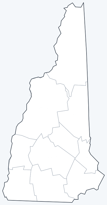
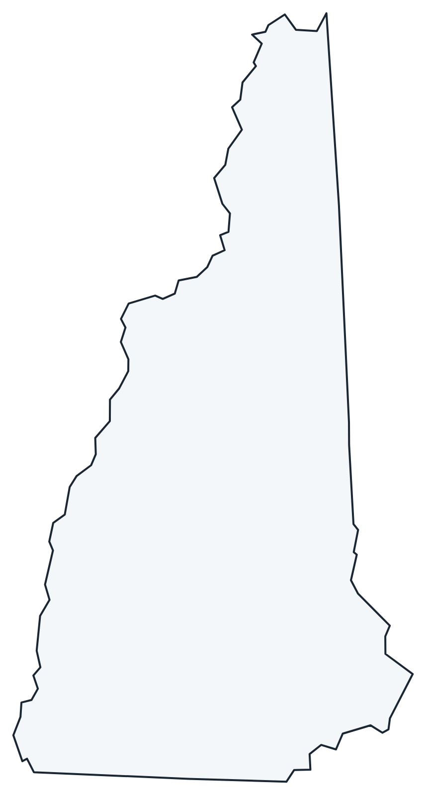
A labeled map with every county name and a blank county outline map for coloring, quizzes or school projects. Free for personal and classroom use.
Frequently asked questions
How many counties are in New Hampshire?
New Hampshire has 10 counties.
What is the largest county in New Hampshire?
Coos County, with 1,794.6 sq mi of land. Its county seat is Lancaster.
What is the most populous county in New Hampshire?
Hillsborough County, with 422,937 residents in 2020. It has two county seats, Manchester and Nashua.
What county is Concord, NH, in?
Concord is in Merrimack County, and it is the county seat.
More New Hampshire and nearby maps
Back to the New Hampshire state map. County maps of neighboring states: Maine county map · Massachusetts county map · Vermont county map.
Browse all 50 state maps.
Sources: U.S. Census Bureau (2020 Census, 2020 Gazetteer, boundaries); county seats: Wikipedia and Wikidata. Last reviewed October 2026.