Colorado County Map
Colorado has 64 counties. El Paso County, home to Colorado Springs, is the most populous with 730,395 residents in 2020, just ahead of Denver (715,522). Las Animas County on the New Mexico border is the largest by land area (4,772.9 sq mi), and the capital, Denver, is its own consolidated city and county.
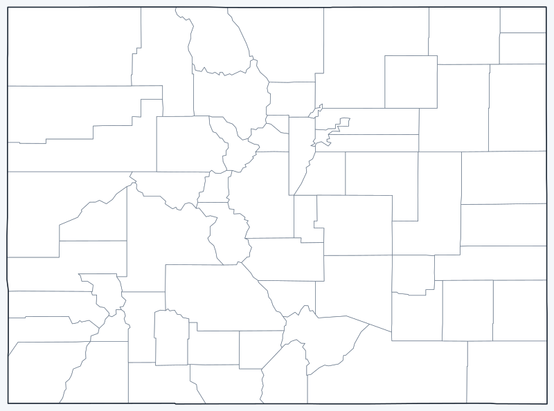
County lines are switched on when the interactive map loads. Hover over a county to see its name, or untick Show counties to hide them.
List of Colorado counties
Click a column heading to sort. Land area excludes water.
| County | County seat | Population (2020) | Land area (sq mi) |
|---|---|---|---|
| Adams County | Brighton | 519,572 | 1,166.7 |
| Alamosa County | Alamosa | 16,376 | 722.6 |
| Arapahoe County | Littleton | 655,070 | 797.9 |
| Archuleta County | Pagosa Springs | 13,359 | 1,350.1 |
| Baca County | Springfield | 3,506 | 2,555.0 |
| Bent County | Las Animas | 5,650 | 1,512.8 |
| Boulder County | Boulder | 330,758 | 726.4 |
| Broomfield County | Broomfield | 74,112 | 33.0 |
| Chaffee County | Salida | 19,476 | 1,013.4 |
| Cheyenne County | Cheyenne Wells | 1,748 | 1,778.3 |
| Clear Creek County | Georgetown | 9,397 | 395.1 |
| Conejos County | Conejos | 7,461 | 1,287.4 |
| Costilla County | San Luis | 3,499 | 1,227.6 |
| Crowley County | Ordway | 5,922 | 787.4 |
| Custer County | Westcliffe | 4,704 | 738.6 |
| Delta County | Delta | 31,196 | 1,142.1 |
| Denver County | Denver | 715,522 | 153.1 |
| Dolores County | Dove Creek | 2,326 | 1,067.2 |
| Douglas County | Castle Rock | 357,978 | 840.2 |
| Eagle County | Eagle | 55,731 | 1,684.5 |
| El Paso County | Colorado Springs | 730,395 | 2,126.4 |
| Elbert County | Kiowa | 26,062 | 1,850.8 |
| Fremont County | Cañon City | 48,939 | 1,533.9 |
| Garfield County | Glenwood Springs | 61,685 | 2,947.4 |
| Gilpin County | Central City | 5,808 | 150.0 |
| Grand County | Hot Sulphur Springs | 15,717 | 1,846.4 |
| Gunnison County | Gunnison | 16,918 | 3,239.1 |
| Hinsdale County | Lake City | 788 | 1,117.2 |
| Huerfano County | Walsenburg | 6,820 | 1,591.0 |
| Jackson County | Walden | 1,379 | 1,613.7 |
| Jefferson County | Golden | 582,910 | 764.4 |
| Kiowa County | Eads | 1,446 | 1,767.8 |
| Kit Carson County | Burlington | 7,087 | 2,160.8 |
| La Plata County | Durango | 55,638 | 1,689.7 |
| Lake County | Leadville | 7,436 | 376.9 |
| Larimer County | Fort Collins | 359,066 | 2,595.8 |
| Las Animas County | Trinidad | 14,555 | 4,772.9 |
| Lincoln County | Hugo | 5,675 | 2,577.7 |
| Logan County | Sterling | 21,528 | 1,838.6 |
| Mesa County | Grand Junction | 155,703 | 3,328.7 |
| Mineral County | Creede | 865 | 875.8 |
| Moffat County | Craig | 13,292 | 4,743.2 |
| Montezuma County | Cortez | 25,849 | 2,029.3 |
| Montrose County | Montrose | 42,679 | 2,240.9 |
| Morgan County | Fort Morgan | 29,111 | 1,280.5 |
| Otero County | La Junta | 18,690 | 1,261.9 |
| Ouray County | Ouray | 4,874 | 540.7 |
| Park County | Fairplay | 17,390 | 2,193.5 |
| Phillips County | Holyoke | 4,530 | 687.9 |
| Pitkin County | Aspen | 17,358 | 970.7 |
| Prowers County | Lamar | 11,999 | 1,638.4 |
| Pueblo County | Pueblo | 168,162 | 2,386.6 |
| Rio Blanco County | Meeker | 6,529 | 3,221.0 |
| Rio Grande County | Del Norte | 11,539 | 912.0 |
| Routt County | Steamboat Springs | 24,829 | 2,362.0 |
| Saguache County | Saguache | 6,368 | 3,168.6 |
| San Juan County | Silverton | 705 | 387.5 |
| San Miguel County | Telluride | 8,072 | 1,286.7 |
| Sedgwick County | Julesburg | 2,404 | 548.0 |
| Summit County | Breckenridge | 31,055 | 608.3 |
| Teller County | Cripple Creek | 24,710 | 557.1 |
| Washington County | Akron | 4,817 | 2,518.1 |
| Weld County | Greeley | 328,981 | 3,984.9 |
| Yuma County | Wray | 9,988 | 2,364.4 |
Most populous counties
The five most populous counties had 3,203,469 of Colorado’s 5,773,714 residents in 2020, or 55.5% of the state total.
- El Paso County: 730,395 (12.7%)
- Denver County: 715,522 (12.4%)
- Arapahoe County: 655,070 (11.3%)
- Jefferson County: 582,910 (10.1%)
- Adams County: 519,572 (9.0%)
Four of the top five (Denver, Arapahoe, Jefferson and Adams) are in the Denver metro area; El Paso County centers on Colorado Springs. At the other end, San Juan County had only 705 residents in 2020, the fewest in the state, followed by Hinsdale (788) and Mineral (865), all in the San Juan Mountains.
Largest and smallest counties
Las Animas County (4,772.9 sq mi of land) and Moffat County (4,743.2 sq mi), in the far northwest, are nearly tied as the largest. Weld County (3,984.9 sq mi), seated in Greeley, is third. The smallest is Broomfield County at just 33.0 sq mi of land, followed by Gilpin (150.0 sq mi) and Denver (153.1 sq mi). The average Colorado county covers 1,619.3 sq mi of land.
How counties work in Colorado
Most Colorado counties are run by an elected board of county commissioners, and each has a county seat where the courthouse and county offices are located. Two counties are different:
- Denver is a consolidated city and county: one government serves as both, so the city of Denver and Denver County have the same boundaries.
- Broomfield became Colorado’s 64th county in 2001, when the city of Broomfield was split off from Adams, Boulder, Jefferson and Weld counties into a consolidated city and county of its own.
Some county seats are small towns rather than the county’s largest city. Arapahoe County, the third most populous, is seated in Littleton, and Jefferson County in Golden.
Printable Colorado county maps
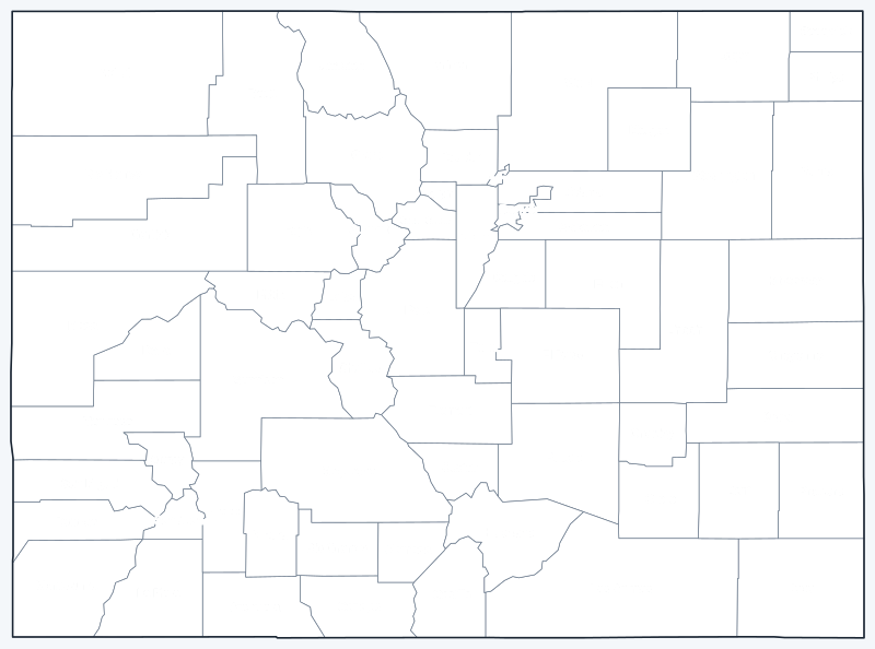
The labeled map shows every county name; the blank version has county lines only, for coloring or quizzes. Both are SVG files that print sharply at any size.

Frequently asked questions
How many counties are in Colorado?
Colorado has 64 counties. The newest, Broomfield, was created in 2001.
What is the largest county in Colorado?
By land area, Las Animas County (4,772.9 sq mi), just ahead of Moffat County (4,743.2 sq mi).
What is the most populous county in Colorado?
El Paso County, with 730,395 residents in 2020. Denver was a close second with 715,522.
What county is Denver in?
Denver is a consolidated city and county, so it is its own county, Denver County. Its suburbs extend into Adams, Arapahoe, Jefferson, Douglas and Broomfield counties.
Neighboring state county maps
Arizona · Kansas · Nebraska · New Mexico · Oklahoma · Utah · Wyoming
Back to the Colorado state map or browse all 50 state maps.
Sources: U.S. Census Bureau (2020 Census, 2020 Gazetteer, boundaries); county seats from Wikipedia and Wikidata, cross-checked. Last reviewed October 2026.