Wyoming County Map
Wyoming has 23 counties. Laramie County is the most populous, with 100,512 people in 2020, and Sweetwater County is the largest by land area at 10,427.0 sq mi. The capital, Cheyenne, is the seat of Laramie County.
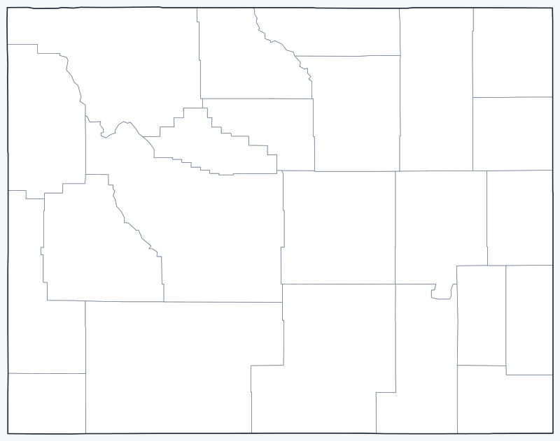
County lines are switched on when the interactive map loads. Hover over a county to see its name, or untick Show counties to hide the lines.
List of Wyoming counties
| County | County seat | Population (2020) | Land area (sq mi) |
|---|---|---|---|
| Albany | Laramie | 37,066 | 4,274.3 |
| Big Horn | Basin | 11,521 | 3,137.0 |
| Campbell | Gillette | 47,026 | 4,802.1 |
| Carbon | Rawlins | 14,537 | 7,897.8 |
| Converse | Douglas | 13,751 | 4,255.0 |
| Crook | Sundance | 7,181 | 2,854.5 |
| Fremont | Lander | 39,234 | 9,183.6 |
| Goshen | Torrington | 12,498 | 2,225.6 |
| Hot Springs | Thermopolis | 4,621 | 2,004.4 |
| Johnson | Buffalo | 8,447 | 4,154.2 |
| Laramie | Cheyenne | 100,512 | 2,685.9 |
| Lincoln | Kemmerer | 19,581 | 4,075.3 |
| Natrona | Casper | 79,955 | 5,340.5 |
| Niobrara | Lusk | 2,467 | 2,626.0 |
| Park | Cody | 29,624 | 6,939.0 |
| Platte | Wheatland | 8,605 | 2,081.5 |
| Sheridan | Sheridan | 30,921 | 2,523.4 |
| Sublette | Pinedale | 8,728 | 4,886.5 |
| Sweetwater | Green River | 42,272 | 10,427.0 |
| Teton | Jackson | 23,331 | 3,996.8 |
| Uinta | Evanston | 20,450 | 2,081.7 |
| Washakie | Worland | 7,685 | 2,238.7 |
| Weston | Newcastle | 6,838 | 2,398.0 |
Most populous counties
The five most populous counties had 308,999 residents in 2020, 53.6% of Wyoming’s 576,851 people.
- Laramie County: 100,512 (17.4% of the state), seat Cheyenne
- Natrona County: 79,955 (13.9% of the state), seat Casper
- Campbell County: 47,026 (8.2% of the state), seat Gillette
- Sweetwater County: 42,272 (7.3% of the state), seat Green River
- Fremont County: 39,234 (6.8% of the state), seat Lander
The least populous is Niobrara County, with 2,467 residents. Of the 23 counties, 8 had fewer than 10,000 people in 2020.
Largest and smallest counties
By land area, the largest counties are Sweetwater (10,427.0 sq mi), Fremont (9,183.6 sq mi) and Carbon (7,897.8 sq mi). The smallest is Hot Springs County at 2,004.4 sq mi, followed by Platte (2,081.5 sq mi) and Uinta (2,081.7 sq mi).
The average Wyoming county covers 4,221.3 sq mi of land. The most densely populated is Laramie County, with about 37 people per sq mi; the least dense is Niobrara County, with about 0.9.
How counties work in Wyoming
Each Wyoming county is governed by an elected board of county commissioners and has a county seat, listed in the table above.
Wyoming’s counties are very large: even the smallest, Hot Springs County, covers 2,004.4 sq mi of land, and 5 counties exceed 5,000 sq mi. Laramie County (Cheyenne) and Natrona County (Casper) together had 180,467 residents in 2020, 31.3% of the state.
In the northwest, Teton County contains Jackson and Grand Teton National Park, and the Wyoming part of Yellowstone National Park lies in Teton and Park counties.
Printable Wyoming county maps
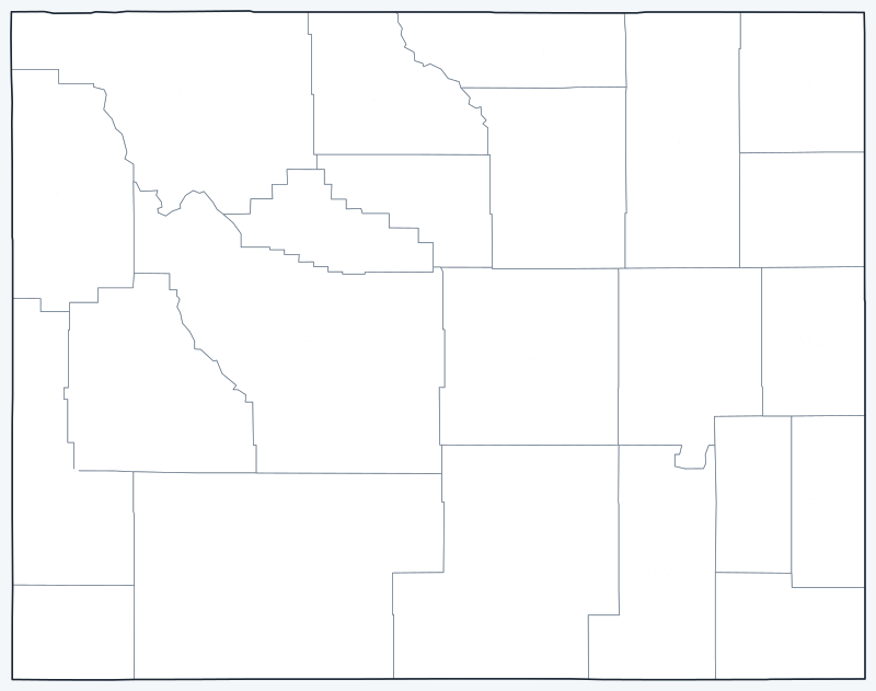
The labeled map shows every county name; the blank version has county lines only, for coloring, quizzes or school projects. Free for personal and classroom use.

Frequently asked questions
How many counties are in Wyoming?
Wyoming has 23 counties, each with its own county seat (see the table above).
What is the largest county in Wyoming?
Sweetwater County, with 10,427.0 sq mi of land. Its seat is Green River.
What is the most populous county in Wyoming?
Laramie County, with 100,512 residents in the 2020 Census. Its seat is Cheyenne.
What county is Cheyenne, Wyoming, in?
Cheyenne, the state capital and largest city, is in Laramie County and is its county seat.
Neighboring state county maps
Montana · South Dakota · Nebraska · Colorado · Utah · Idaho
Back to the Wyoming state map or browse all 50 state maps.
Sources: U.S. Census Bureau (2020 Census, 2020 Gazetteer, boundaries); county seats from Wikipedia county lists cross-checked with Wikidata. Last reviewed October 2026.