New Jersey County Map
New Jersey has 21 counties. Bergen County is the most populous with 955,732 residents in 2020, and Burlington County is the largest by land area at 799.3 sq mi. The capital, Trenton, is the county seat of Mercer County.
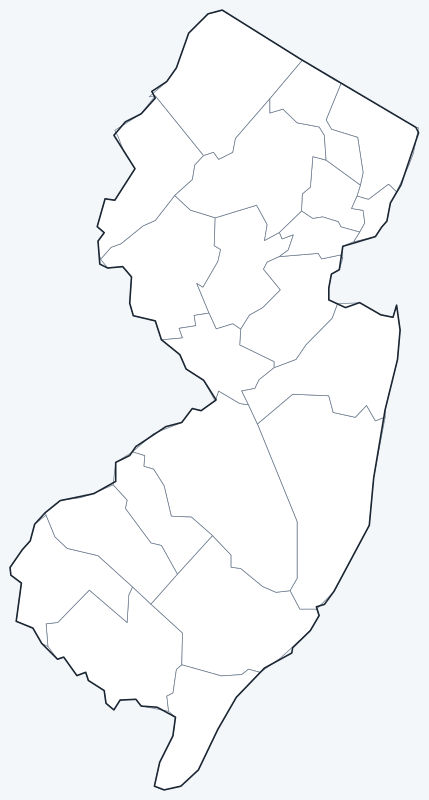
County lines are switched on when the interactive map loads. Hover over a county to see its name, or untick Show counties to hide them and see the cities on the OpenStreetMap base map.
List of New Jersey counties
| County | County seat | Population (2020) | Land area (sq mi) |
|---|---|---|---|
| Atlantic County | Mays Landing | 274,534 | 555.5 |
| Bergen County | Hackensack | 955,732 | 232.8 |
| Burlington County | Mount Holly | 461,860 | 799.3 |
| Camden County | Camden | 523,485 | 221.4 |
| Cape May County | Cape May Court House | 95,263 | 251.5 |
| Cumberland County | Bridgeton | 154,152 | 483.4 |
| Essex County | Newark | 863,728 | 126.1 |
| Gloucester County | Woodbury | 302,294 | 322.0 |
| Hudson County | Jersey City | 724,854 | 46.2 |
| Hunterdon County | Flemington | 128,947 | 427.8 |
| Mercer County | Trenton | 387,340 | 224.4 |
| Middlesex County | New Brunswick | 863,162 | 309.2 |
| Monmouth County | Freehold | 643,615 | 468.2 |
| Morris County | Morristown | 509,285 | 461.0 |
| Ocean County | Toms River | 637,229 | 628.3 |
| Passaic County | Paterson | 524,118 | 186.0 |
| Salem County | Salem | 64,837 | 331.9 |
| Somerset County | Somerville | 345,361 | 301.9 |
| Sussex County | Newton | 144,221 | 518.7 |
| Union County | Elizabeth | 575,345 | 102.8 |
| Warren County | Belvidere | 109,632 | 356.5 |
Population: 2020 Census. Land area excludes water. Click a column heading to sort.
Most populous counties
The five most populous counties hold 43.6% of New Jersey’s 9,288,994 residents:
- Bergen County (Hackensack): 955,732, 10.3% of the state
- Essex County (Newark): 863,728, 9.3% of the state
- Middlesex County (New Brunswick): 863,162, 9.3% of the state
- Hudson County (Jersey City): 724,854, 7.8% of the state
- Monmouth County (Freehold): 643,615, 6.9% of the state
Essex County and Middlesex County were separated by just 566 people in 2020. Of the 21 counties, 10 had at least 500,000 residents. The least populous is Salem County (64,837), followed by Cape May County (95,263) and Warren County (109,632).
Largest and smallest counties
Burlington County, which stretches from the Delaware River into the Pine Barrens, is the largest at 799.3 sq mi of land, followed by Ocean County (628.3 sq mi) and Atlantic County (555.5 sq mi). Including bays and ocean waters, Ocean County totals 914.8 sq mi.
Hudson County, across the Hudson River from Manhattan, is the smallest at 46.2 sq mi, yet it had 724,854 residents, about 15,700 people per square mile of land. Union County (102.8 sq mi) and Essex County (126.1 sq mi) are next.
How counties work in New Jersey
Every New Jersey county is governed by an elected Board of County Commissioners. Until 2021 these boards were called boards of chosen freeholders. All of the state’s land lies within incorporated municipalities (cities, boroughs, towns, townships and villages), so counties have no unincorporated areas to administer.
The four largest cities are all county seats: Newark (Essex County), Jersey City (Hudson County), Paterson (Passaic County) and Elizabeth (Union County). The seat of Cape May County, Cape May Court House, is an unincorporated community in Middle Township, not the city of Cape May.
Printable New Jersey county maps
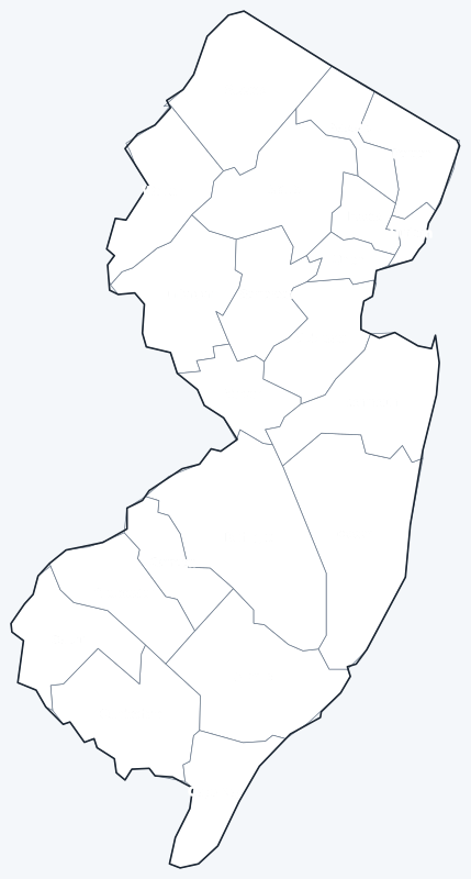
A labeled map with every county name and a blank county outline map for coloring, quizzes or school projects. Free for personal and classroom use.
Frequently asked questions
How many counties are in New Jersey?
New Jersey has 21 counties.
What is the largest county in New Jersey?
Burlington County, with 799.3 sq mi of land. Its county seat is Mount Holly.
What is the most populous county in New Jersey?
Bergen County, with 955,732 residents in 2020. Its county seat is Hackensack.
What county is Newark, NJ, in?
Newark is in Essex County, and it is the county seat.
More New Jersey and nearby maps
Back to the New Jersey state map. County maps of neighboring states: New York county map · Pennsylvania county map · Delaware county map.
Browse all 50 state maps.
Sources: U.S. Census Bureau (2020 Census, 2020 Gazetteer, boundaries); county seats: Wikipedia and Wikidata. Last reviewed October 2026.