Delaware County Map
Delaware has 3 counties, the fewest of any state: New Castle, Kent and Sussex, from north to south. New Castle County is the most populous (570,719 residents in 2020), Sussex County is the largest by land area (936.2 sq mi), and the capital, Dover, is the county seat of Kent County.
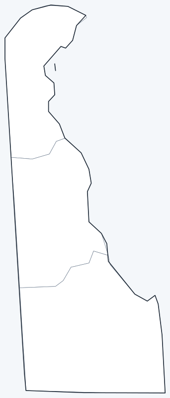
County lines are switched on when the interactive map loads. Hover over a county to see its name, or untick Show counties to hide them.
List of Delaware counties
Click a column heading to sort. Land area excludes water.
| County | County seat | Population (2020) | Land area (sq mi) |
|---|---|---|---|
| Kent County | Dover | 181,851 | 586.1 |
| New Castle County | Wilmington | 570,719 | 426.3 |
| Sussex County | Georgetown | 237,378 | 936.2 |
Most populous counties
Delaware had 989,948 residents in 2020. Here is how they divide among its three counties:
- New Castle County: 570,719 (57.7%)
- Sussex County: 237,378 (24.0%)
- Kent County: 181,851 (18.4%)
New Castle County, with Wilmington and Newark, is home to more people than Kent and Sussex combined, even though it is the smallest county by land area. Kent County, in the middle of the state, includes Dover; Sussex County, the southernmost, holds the Atlantic beach towns.
Largest and smallest counties
Sussex County covers 936.2 sq mi of land, more than New Castle (426.3 sq mi) and Kent (586.1 sq mi). Counting the water of Delaware Bay and the Atlantic coast, Sussex reaches 1,196.4 sq mi and Kent 798.3 sq mi. With 426.3 sq mi of land, New Castle County is the smallest county but the most densely settled, at about 1,339 people per square mile.
How counties work in Delaware
Delaware’s three counties are active governments that handle services such as land use, sewers and parks outside city limits. Each has its own form of government:
- New Castle County: an elected county executive and county council; county seat Wilmington.
- Kent County: governed by the Levy Court, a body of elected commissioners; county seat Dover.
- Sussex County: an elected county council; county seat Georgetown.
Delaware’s counties are also divided into historical subdivisions called hundreds, a colonial-era unit that still appears in some property and land records.
Printable Delaware county maps
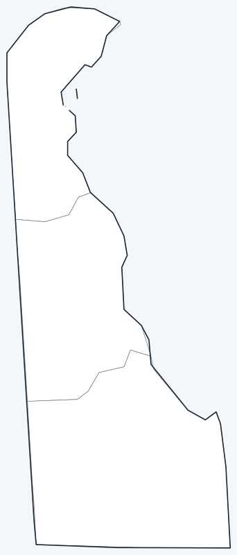
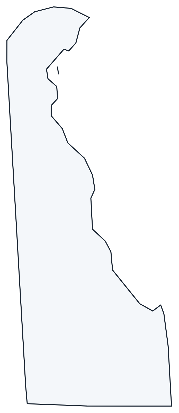
The labeled map shows every county name; the blank version has county lines only, for coloring or quizzes. Both are SVG files that print sharply at any size.
Frequently asked questions
How many counties are in Delaware?
Three: New Castle, Kent and Sussex. No other state has fewer.
What is the largest county in Delaware?
Sussex County, with 936.2 sq mi of land, about 48.0% of the state’s land area.
What is the most populous county in Delaware?
New Castle County, with 570,719 residents in 2020, or 57.7% of Delawareans.
What county is Dover in?
Dover, the state capital, is in Kent County and is its county seat. Wilmington, the largest city, is the seat of New Castle County.
Neighboring state county maps
Maryland · New Jersey · Pennsylvania
Back to the Delaware state map or browse all 50 state maps.
Sources: U.S. Census Bureau (2020 Census, 2020 Gazetteer, boundaries); county seats from Wikipedia and Wikidata, cross-checked. Last reviewed October 2026.